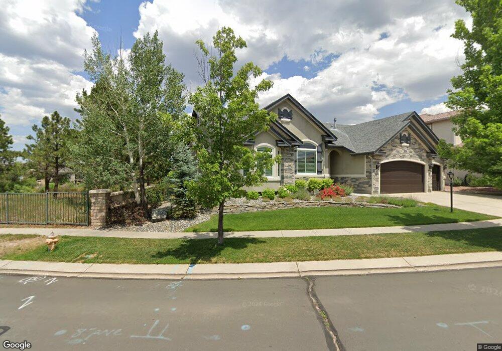
10127 Palisade Ridge Dr Colorado Springs, CO 80920
Pine Creek NeighborhoodEstimated Value: $804,812 - $931,000
5
Beds
3
Baths
2,360
Sq Ft
$370/Sq Ft
Est. Value
About This Home
This home is located at 10127 Palisade Ridge Dr, Colorado Springs, CO 80920 and is currently estimated at $873,703, approximately $370 per square foot. 10127 Palisade Ridge Dr is a home located in El Paso County with nearby schools including Mountain View Elementary School, Challenger Middle School, and Pine Creek High School.
Ownership History
Date
Name
Owned For
Owner Type
Purchase Details
Closed on
Aug 29, 2013
Sold by
Turk Joseph J and Turk Patricia A
Bought by
Turk Joseph J and Turk Patricia A
Current Estimated Value
Home Financials for this Owner
Home Financials are based on the most recent Mortgage that was taken out on this home.
Original Mortgage
$462,138
Outstanding Balance
$345,135
Interest Rate
4.42%
Mortgage Type
VA
Estimated Equity
$528,568
Purchase Details
Closed on
Feb 10, 2004
Sold by
Elite Properties Of America Inc
Bought by
Reyes Robert A and Reyes Sandra K
Home Financials for this Owner
Home Financials are based on the most recent Mortgage that was taken out on this home.
Original Mortgage
$300,000
Interest Rate
5.86%
Mortgage Type
Unknown
Create a Home Valuation Report for This Property
The Home Valuation Report is an in-depth analysis detailing your home's value as well as a comparison with similar homes in the area
Home Values in the Area
Average Home Value in this Area
Purchase History
| Date | Buyer | Sale Price | Title Company |
|---|---|---|---|
| Turk Joseph J | -- | Land Title Guarantee Company | |
| Turk Joseph J | $457,500 | Land Title Guarantee Company | |
| Reyes Robert A | $412,666 | Land Title |
Source: Public Records
Mortgage History
| Date | Status | Borrower | Loan Amount |
|---|---|---|---|
| Open | Turk Joseph J | $462,138 | |
| Previous Owner | Reyes Robert A | $300,000 |
Source: Public Records
Tax History Compared to Growth
Tax History
| Year | Tax Paid | Tax Assessment Tax Assessment Total Assessment is a certain percentage of the fair market value that is determined by local assessors to be the total taxable value of land and additions on the property. | Land | Improvement |
|---|---|---|---|---|
| 2025 | $3,302 | $59,680 | -- | -- |
| 2024 | $3,306 | $58,650 | $15,410 | $43,240 |
| 2023 | $3,306 | $58,650 | $15,410 | $43,240 |
| 2022 | $2,847 | $43,020 | $10,770 | $32,250 |
| 2021 | $3,163 | $44,260 | $11,080 | $33,180 |
| 2020 | $3,234 | $42,010 | $8,870 | $33,140 |
| 2019 | $3,200 | $42,010 | $8,870 | $33,140 |
| 2018 | $2,727 | $35,190 | $8,110 | $27,080 |
| 2017 | $2,717 | $35,190 | $8,110 | $27,080 |
| 2016 | $2,699 | $34,910 | $8,340 | $26,570 |
| 2015 | $2,694 | $34,910 | $8,340 | $26,570 |
| 2014 | $2,543 | $32,930 | $8,340 | $24,590 |
Source: Public Records
Map
Nearby Homes
- 10239 Clovercrest Dr
- 10259 Peach Blossom Trail
- 10634 Silverton Creek Point
- 9964 Oak Knoll Terrace
- 10632 Leadville Creek Point
- 10643 Black Kettle Way
- 10585 Kelowna View
- 10636 Echo Canyon Dr
- 10549 Kelowna View
- 3229 Bewildering Heights
- 10708 Echo Canyon Dr
- 10091 Red Sage Dr
- 10409 Marshall Mesa Ct
- 9979 Rose Leaf Ct
- 2712 Emerald Ridge Dr
- 2903 Golden Meadow Way
- 9331 Stoneglen Dr
- 9891 Red Sage Dr
- 2974 Golden Meadow Way
- 10687 Hidden Brook Cir
- 10109 Palisade Ridge Dr
- 10091 Palisade Ridge Dr
- 10126 Palisade Ridge Dr
- 10144 Palisade Ridge Dr
- 10108 Palisade Ridge Dr
- 10073 Palisade Ridge Dr
- 10162 Palisade Ridge Dr
- 10090 Palisade Ridge Dr
- 10180 Palisade Ridge Dr
- 10055 Palisade Ridge Dr
- 10072 Palisade Ridge Dr
- 3279 Silver Pine Trail
- 10054 Palisade Ridge Dr
- 3271 Silver Pine Trail
- 3287 Silver Pine Trail
- 3248 Cedar Bluff Cir
- 3263 Silver Pine Trail
- 3295 Silver Pine Trail
- 3230 Cedar Bluff Cir
- 3255 Silver Pine Trail