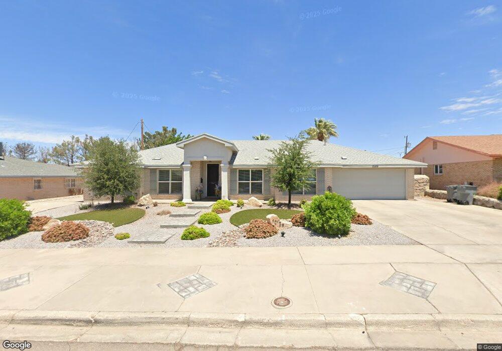
10129 Woodway Dr El Paso, TX 79925
Travis White NeighborhoodEstimated Value: $404,000 - $450,000
--
Bed
3
Baths
2,762
Sq Ft
$155/Sq Ft
Est. Value
About This Home
This home is located at 10129 Woodway Dr, El Paso, TX 79925 and is currently estimated at $429,395, approximately $155 per square foot. 10129 Woodway Dr is a home located in El Paso County with nearby schools including Eastwood Heights Elementary School, Eastwood High School, and St. Raphael School.
Ownership History
Date
Name
Owned For
Owner Type
Purchase Details
Closed on
Dec 11, 2015
Sold by
Sapolis Shane Robert and Sapolis Miles Calvin
Bought by
Lamb Larry Don and Lamb Heather Charmaine
Current Estimated Value
Purchase Details
Closed on
Apr 13, 2013
Sold by
Peters Linda
Bought by
Sapolis Shane Robert and Sapolis Miles Calvin
Purchase Details
Closed on
Mar 13, 2012
Sold by
Peters Linda
Bought by
Peters Linda
Purchase Details
Closed on
Jun 29, 1994
Sold by
Rogers Margaret
Bought by
Sapolis Barbara A
Create a Home Valuation Report for This Property
The Home Valuation Report is an in-depth analysis detailing your home's value as well as a comparison with similar homes in the area
Home Values in the Area
Average Home Value in this Area
Purchase History
| Date | Buyer | Sale Price | Title Company |
|---|---|---|---|
| Lamb Larry Don | -- | None Available | |
| Sapolis Shane Robert | -- | None Available | |
| Peters Linda | -- | None Available | |
| Sapolis Barbara A | -- | -- |
Source: Public Records
Tax History Compared to Growth
Tax History
| Year | Tax Paid | Tax Assessment Tax Assessment Total Assessment is a certain percentage of the fair market value that is determined by local assessors to be the total taxable value of land and additions on the property. | Land | Improvement |
|---|---|---|---|---|
| 2025 | $7,692 | $396,209 | -- | -- |
| 2024 | $7,692 | $360,190 | -- | -- |
| 2023 | $7,282 | $327,445 | $0 | $0 |
| 2022 | $9,244 | $297,677 | $0 | $0 |
| 2021 | $8,796 | $270,615 | $40,966 | $229,649 |
| 2020 | $7,876 | $249,345 | $37,499 | $211,846 |
| 2018 | $7,637 | $245,571 | $37,499 | $208,072 |
| 2017 | $7,226 | $236,388 | $37,499 | $198,889 |
| 2016 | $7,067 | $231,211 | $37,499 | $193,712 |
| 2015 | $5,774 | $231,211 | $37,499 | $193,712 |
| 2014 | $5,774 | $233,101 | $37,499 | $195,602 |
Source: Public Records
Map
Nearby Homes
- 10233 Byway Dr
- 10145 Camwood Dr
- 10313 Byway Dr
- 10463 Davwood Ln
- 10304 Woodruff Ct
- 10309 Woodruff Ct
- 9801 Eastridge Dr
- 9917 Honolulu Dr
- 10401 Springwood Dr
- 10212 Garwood Ct
- 10533 Springwood Dr
- 10412 Chinaberry Dr
- 1909 Crow Dr
- 10145 Singapore Ave
- 10481 Deepwood Ct
- 2425 Fir St
- 9674 Stonehaven Dr
- 10140 Suez Dr
- 2412 Penwood Dr
- 9525 Desert Ridge Dr
- 10133 Woodway Dr
- 10125 Woodway Dr
- 10128 Montwood Dr
- 10128 Montwood Dr Unit 1
- 10132 Montwood Dr
- 10124 Montwood Dr
- 10137 Woodway Dr
- 10128 Woodway Dr
- 10136 Montwood Dr
- 10124 Woodway Dr
- 10132 Woodway Dr
- 10119 Woodway Dr
- 10140 Montwood Dr
- 10141 Woodway Dr
- 10136 Woodway Dr
- 2061 Windrock St
- 10118 Woodway Dr
- 10205 Stoneway Dr
- 10115 Woodway Dr
- 10200 Montwood Dr