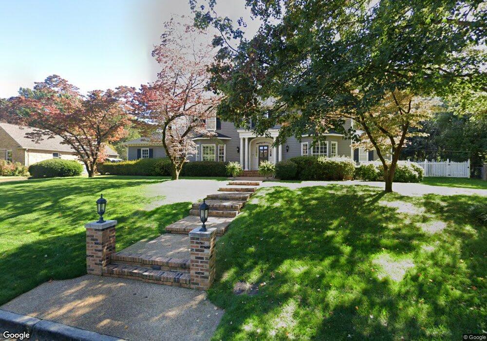
1013 Appalachee Dr SE Huntsville, AL 35801
Thornblade NeighborhoodEstimated Value: $754,000 - $855,000
--
Bed
--
Bath
5,676
Sq Ft
$143/Sq Ft
Est. Value
About This Home
This home is located at 1013 Appalachee Dr SE, Huntsville, AL 35801 and is currently estimated at $812,623, approximately $143 per square foot. 1013 Appalachee Dr SE is a home with nearby schools including Jones Valley Elementary School, Huntsville Junior High School, and Huntsville High School.
Ownership History
Date
Name
Owned For
Owner Type
Purchase Details
Closed on
Jul 24, 2025
Sold by
Strickland Gregory E and Strickland Margaret P
Bought by
Strickland Margaret P
Current Estimated Value
Home Financials for this Owner
Home Financials are based on the most recent Mortgage that was taken out on this home.
Original Mortgage
$196,450
Outstanding Balance
$196,115
Interest Rate
6.81%
Mortgage Type
New Conventional
Estimated Equity
$616,508
Create a Home Valuation Report for This Property
The Home Valuation Report is an in-depth analysis detailing your home's value as well as a comparison with similar homes in the area
Home Values in the Area
Average Home Value in this Area
Purchase History
| Date | Buyer | Sale Price | Title Company |
|---|---|---|---|
| Strickland Margaret P | $424,000 | None Listed On Document | |
| Strickland Margaret P | $424,000 | None Listed On Document |
Source: Public Records
Mortgage History
| Date | Status | Borrower | Loan Amount |
|---|---|---|---|
| Open | Strickland Margaret P | $196,450 | |
| Closed | Strickland Margaret P | $196,450 |
Source: Public Records
Tax History Compared to Growth
Tax History
| Year | Tax Paid | Tax Assessment Tax Assessment Total Assessment is a certain percentage of the fair market value that is determined by local assessors to be the total taxable value of land and additions on the property. | Land | Improvement |
|---|---|---|---|---|
| 2024 | $3,549 | $62,020 | $8,320 | $53,700 |
| 2023 | $3,549 | $59,880 | $8,320 | $51,560 |
| 2022 | $3,134 | $54,860 | $6,540 | $48,320 |
| 2021 | $2,859 | $50,120 | $5,340 | $44,780 |
| 2020 | $2,779 | $48,720 | $4,750 | $43,970 |
| 2019 | $2,779 | $48,720 | $4,750 | $43,970 |
| 2018 | $2,694 | $47,280 | $0 | $0 |
| 2017 | $2,694 | $47,280 | $0 | $0 |
| 2016 | $2,694 | $47,280 | $0 | $0 |
| 2015 | $2,694 | $47,280 | $0 | $0 |
| 2014 | $2,792 | $48,960 | $0 | $0 |
Source: Public Records
Map
Nearby Homes
- 2814 Garth Rd SE
- 1006 Brook Ridge Cir SE
- 2516 Garth Rd SE
- 2618 Hickory Flats Trail SE
- 2902 Barcody Rd SE
- 1807 Fairmont Rd SE
- 2910 Barcody Rd SE
- 1224 Deborah Dr SE
- 1901 Governors Dr SE
- 2804 Bentley St SE
- 2007 Cliffmanor Cir SE
- 2302 Covemont Dr SE
- 1414 Governors Place SE
- 3010 Barcody Rd SE
- 1602 Big Cove Rd
- 1904 Chippendale Dr SE
- 1240 Deborah Dr SE
- 1407 Bramblewood Dr SE
- 1513 Big Cove Rd SE
- 1401 Cass Cir SE
- 1015 Appalachee Dr SE
- 1011 Appalachee Dr SE
- 1105 Deborah Dr SE
- 1017 Appalachee Dr SE
- 1016 Appalachee Dr SE
- 1018 Appalachee Dr SE
- 1009 Appalachee Dr SE
- 1012 Appalachee Dr SE
- 1101 Deborah Dr SE
- 1107 Deborah Dr SE
- 1022 Appalachee Dr SE
- 1020 Appalachee Dr SE
- 1024 Appalachee Dr SE
- 1007 Appalachee Dr SE
- 1109 Deborah Dr SE
- 1026 Appalachee Dr SE
- 1010 Appalachee Dr SE
- 1104 Deborah Dr SE
- 1106 Deborah Dr SE
- 1102 Deborah Dr SE