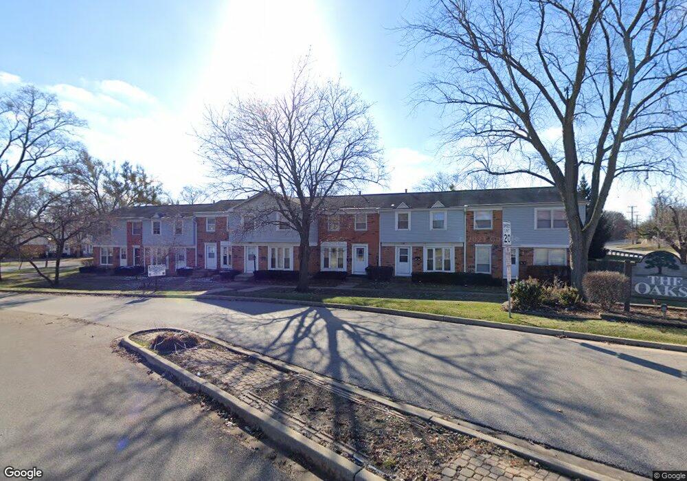
1013 Ashton Ct Streamwood, IL 60107
Estimated Value: $209,000 - $252,000
2
Beds
2
Baths
900
Sq Ft
$249/Sq Ft
Est. Value
About This Home
This home is located at 1013 Ashton Ct, Streamwood, IL 60107 and is currently estimated at $224,262, approximately $249 per square foot. 1013 Ashton Ct is a home located in Cook County with nearby schools including Heritage Elementary School, Tefft Middle School, and Streamwood High School.
Ownership History
Date
Name
Owned For
Owner Type
Purchase Details
Closed on
Mar 29, 2019
Sold by
Chicago Title Land Trust Company
Bought by
Milam Ronald L
Current Estimated Value
Home Financials for this Owner
Home Financials are based on the most recent Mortgage that was taken out on this home.
Original Mortgage
$83,264
Outstanding Balance
$73,307
Interest Rate
4.37%
Mortgage Type
FHA
Estimated Equity
$150,955
Create a Home Valuation Report for This Property
The Home Valuation Report is an in-depth analysis detailing your home's value as well as a comparison with similar homes in the area
Home Values in the Area
Average Home Value in this Area
Purchase History
| Date | Buyer | Sale Price | Title Company |
|---|---|---|---|
| Milam Ronald L | $85,000 | Chicago Title |
Source: Public Records
Mortgage History
| Date | Status | Borrower | Loan Amount |
|---|---|---|---|
| Open | Milam Ronald L | $83,264 |
Source: Public Records
Tax History Compared to Growth
Tax History
| Year | Tax Paid | Tax Assessment Tax Assessment Total Assessment is a certain percentage of the fair market value that is determined by local assessors to be the total taxable value of land and additions on the property. | Land | Improvement |
|---|---|---|---|---|
| 2024 | $4,312 | $14,000 | $1,500 | $12,500 |
| 2023 | $4,199 | $14,000 | $1,500 | $12,500 |
| 2022 | $4,199 | $14,000 | $1,500 | $12,500 |
| 2021 | $3,167 | $8,663 | $1,317 | $7,346 |
| 2020 | $3,113 | $8,663 | $1,317 | $7,346 |
| 2019 | $3,076 | $9,626 | $1,317 | $8,309 |
| 2018 | $4,375 | $12,422 | $1,152 | $11,270 |
| 2017 | $4,315 | $12,422 | $1,152 | $11,270 |
| 2016 | $4,024 | $12,422 | $1,152 | $11,270 |
| 2015 | $3,775 | $10,642 | $1,043 | $9,599 |
| 2014 | $3,718 | $10,642 | $1,043 | $9,599 |
| 2013 | $3,602 | $10,642 | $1,043 | $9,599 |
Source: Public Records
Map
Nearby Homes
- 2073 Essex Ct
- 2104 Falmouth Ct
- 2056 Essex Ct
- 406 Locksley Dr
- 134 Virginia Ct
- 53 Samuel Dr Unit 163
- 55 Samuel Dr Unit 162
- 434 Locksley Dr
- 3098 Lynnwood Ct
- 3075 Kingston Ct
- 4018 Oxford Ct
- 8 Lasalle Ct
- 600 W Lake St
- 6 Wild Rose Ct
- 650 W Old Lake St
- 4077 Club Tree Dr
- 113 Samuel Ct Unit 263
- 9N Merry Oaks Rd
- 420 Ford Ln
- 106 Brittany Dr Unit 17E1
- 1012 Ashton Ct
- 1014 Ashton Ct Unit 1
- 1015 Ashton Ct
- 1011 Ashton Ct Unit 1
- 1017 Ashton Ct
- 1021 Ashton Ct
- 1041 Ashton Ct
- 1023 Ashton Ct
- 1042 Ashton Ct
- 1043 Ashton Ct
- 1024 Ashton Ct
- 2014 Duxbury Ct
- 1044 Ashton Ct
- 1025 Ashton Ct Unit 1
- 2013 Duxbury Ct Unit 1
- 2021 Duxbury Ct
- 2012 Duxbury Ct
- 1046 Ashton Ct
- 2022 Duxbury Ct
- 1031 Ashton Ct