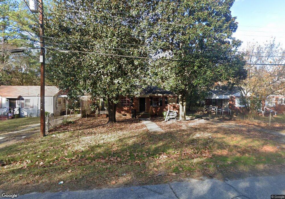
1013 Brooks Rd Columbus, GA 31903
Southern Columbus NeighborhoodEstimated Value: $38,000 - $62,000
2
Beds
2
Baths
858
Sq Ft
$57/Sq Ft
Est. Value
About This Home
This home is located at 1013 Brooks Rd, Columbus, GA 31903 and is currently estimated at $48,937, approximately $57 per square foot. 1013 Brooks Rd is a home located in Muscogee County with nearby schools including Dorothy Height Elementary School, Baker Middle School, and Spencer High School.
Ownership History
Date
Name
Owned For
Owner Type
Purchase Details
Closed on
Dec 21, 2022
Sold by
Challenger Court Llc
Bought by
Momma Ds Rentals Llc
Current Estimated Value
Purchase Details
Closed on
Sep 1, 2017
Sold by
Not Provided
Bought by
Mommads Rentals Llc
Create a Home Valuation Report for This Property
The Home Valuation Report is an in-depth analysis detailing your home's value as well as a comparison with similar homes in the area
Home Values in the Area
Average Home Value in this Area
Purchase History
| Date | Buyer | Sale Price | Title Company |
|---|---|---|---|
| Momma Ds Rentals Llc | -- | -- | |
| Mommads Rentals Llc | $897,000 | -- |
Source: Public Records
Tax History Compared to Growth
Tax History
| Year | Tax Paid | Tax Assessment Tax Assessment Total Assessment is a certain percentage of the fair market value that is determined by local assessors to be the total taxable value of land and additions on the property. | Land | Improvement |
|---|---|---|---|---|
| 2025 | $564 | $14,416 | $3,368 | $11,048 |
| 2024 | $708 | $18,076 | $3,368 | $14,708 |
| 2023 | $712 | $18,076 | $3,368 | $14,708 |
| 2022 | $590 | $14,448 | $3,368 | $11,080 |
| 2021 | $473 | $11,592 | $3,368 | $8,224 |
| 2020 | $473 | $11,592 | $3,368 | $8,224 |
| 2019 | $475 | $11,592 | $3,368 | $8,224 |
| 2018 | $475 | $11,592 | $3,368 | $8,224 |
| 2017 | $476 | $11,592 | $3,368 | $8,224 |
| 2016 | $435 | $10,544 | $1,800 | $8,744 |
| 2015 | $174 | $10,544 | $1,800 | $8,744 |
| 2014 | $174 | $10,544 | $1,800 | $8,744 |
| 2013 | -- | $10,544 | $1,800 | $8,744 |
Source: Public Records
Map
Nearby Homes
- 920 Brooks Rd
- 929 Winston Rd
- 906 Winston Rd
- 824 Winston Rd
- 810 Winston Rd
- 917 Fletcher Ave
- 1025 Fletcher Ave
- 3522 Youmans St
- 716 Benning Dr
- 3711 Youmans St
- 3815 Baker Plaza Dr
- 2463 Brownie St
- 2451 Brownie Ln
- 1274 Providence Ln
- 2463 Brownie Ln
- 3110 Victory Dr Unit 90
- 3110 Victory Dr
- 2916 Lee St
- 2823 Lee St
- 2973 Hawthorne Dr
- 1009 Brooks Rd
- 1019 Brooks Rd
- 1025 Brooks Rd
- 3114 Clay St
- 3120 Clay St
- 1014 Harbison Dr
- 1018 Harbison Dr
- 3110 Clay St
- 1010 Harbison Dr
- 1031 Brooks Rd
- 1024 Harbison Dr
- 1010 Brooks Rd
- 1016 Brooks Rd
- 1018 Brooks Rd
- 3204 Clay St
- 1024 Brooks Rd
- 1004 Harbison Dr
- 1030 Harbison Dr
- 1035 Brooks Rd
- 1030 Brooks Rd