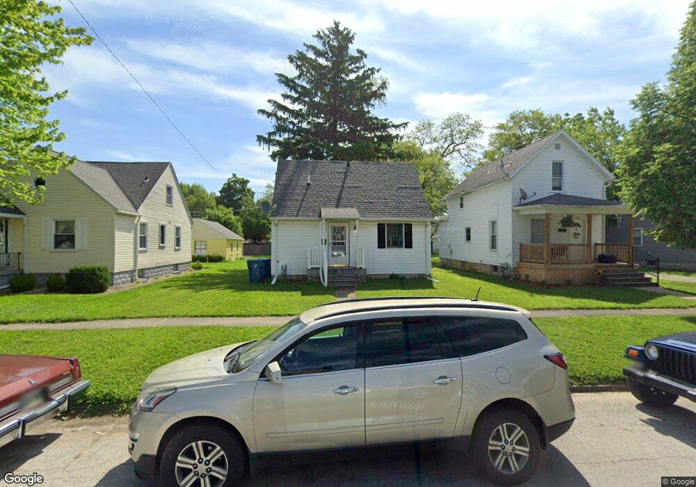
1013 Carbon St Fremont, OH 43420
Estimated Value: $102,000 - $124,000
2
Beds
1
Bath
768
Sq Ft
$144/Sq Ft
Est. Value
About This Home
This home is located at 1013 Carbon St, Fremont, OH 43420 and is currently estimated at $110,559, approximately $143 per square foot. 1013 Carbon St is a home located in Sandusky County with nearby schools including Fremont Ross High School, St. Ann Catholic School, and St. Joseph School.
Ownership History
Date
Name
Owned For
Owner Type
Purchase Details
Closed on
Dec 5, 2024
Sold by
Bleep Holdings Llc
Bought by
Ocie Rental Properties Llc
Current Estimated Value
Purchase Details
Closed on
Jan 22, 2020
Sold by
Pratt Thomas and Pratt Bonnie L
Bought by
Bleep Holdings Llc
Purchase Details
Closed on
Apr 6, 2006
Sold by
Obrien Robert J and Obrien Mary E
Bought by
Pratt Thomas and Pratt Bonnie L
Home Financials for this Owner
Home Financials are based on the most recent Mortgage that was taken out on this home.
Original Mortgage
$40,000
Interest Rate
6.33%
Mortgage Type
Seller Take Back
Create a Home Valuation Report for This Property
The Home Valuation Report is an in-depth analysis detailing your home's value as well as a comparison with similar homes in the area
Home Values in the Area
Average Home Value in this Area
Purchase History
| Date | Buyer | Sale Price | Title Company |
|---|---|---|---|
| Ocie Rental Properties Llc | -- | None Listed On Document | |
| Ocie Rental Properties Llc | -- | None Listed On Document | |
| Bleep Holdings Llc | -- | None Available | |
| Pratt Thomas | $33,750 | None Available |
Source: Public Records
Mortgage History
| Date | Status | Borrower | Loan Amount |
|---|---|---|---|
| Previous Owner | Pratt Thomas | $40,000 |
Source: Public Records
Tax History Compared to Growth
Tax History
| Year | Tax Paid | Tax Assessment Tax Assessment Total Assessment is a certain percentage of the fair market value that is determined by local assessors to be the total taxable value of land and additions on the property. | Land | Improvement |
|---|---|---|---|---|
| 2024 | $1,107 | $29,370 | $6,480 | $22,890 |
| 2023 | $1,107 | $26,220 | $5,780 | $20,440 |
| 2022 | $1,039 | $26,220 | $5,780 | $20,440 |
| 2021 | $1,072 | $26,220 | $5,780 | $20,440 |
| 2020 | $949 | $22,860 | $5,780 | $17,080 |
| 2019 | $948 | $22,860 | $5,780 | $17,080 |
| 2018 | $949 | $22,860 | $5,780 | $17,080 |
| 2017 | $910 | $21,850 | $5,780 | $16,070 |
| 2016 | $801 | $21,850 | $5,780 | $16,070 |
| 2015 | $788 | $21,850 | $5,780 | $16,070 |
| 2014 | $862 | $22,790 | $5,810 | $16,980 |
| 2013 | $844 | $22,790 | $5,810 | $16,980 |
Source: Public Records
Map
Nearby Homes
- 1120 Carbon St
- 1227 White Ave
- 818 Franklin Ave
- 1823 W State St
- 1548 North St
- 1720 North St
- 1441 White Ave
- 816 Lime St
- 711 Rawson Ave
- 900 Spring St
- 2119 Lake St
- 1009 Napoleon St
- 2100 Ohio 53
- 427 N Clover St
- 515 Everett Rd
- 520 Everett Rd
- 516 N Front St
- 1342 Mcpherson Blvd
- 1611 Mcpherson Blvd
- 1037 Buckland Ave