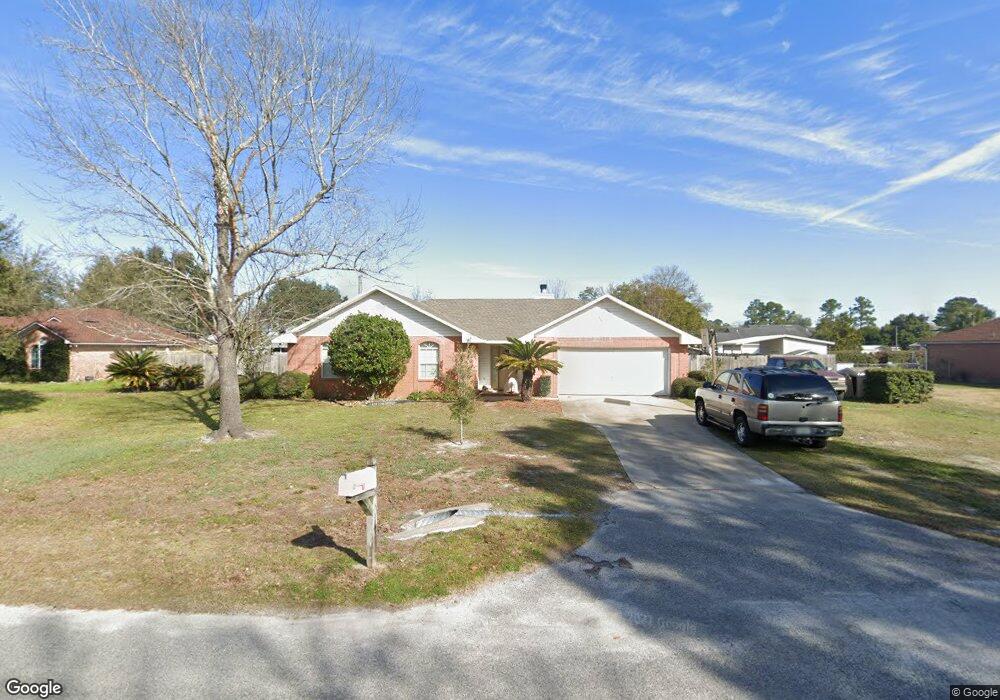
1013 Christie Ct MacClenny, FL 32063
Estimated Value: $253,000 - $398,000
--
Bed
2
Baths
1,571
Sq Ft
$194/Sq Ft
Est. Value
About This Home
This home is located at 1013 Christie Ct, MacClenny, FL 32063 and is currently estimated at $305,178, approximately $194 per square foot. 1013 Christie Ct is a home located in Baker County with nearby schools including Keller Intermediate School, MacClenny Elementary School, and Baker County Middle School.
Ownership History
Date
Name
Owned For
Owner Type
Purchase Details
Closed on
Jul 25, 2003
Sold by
Sullivan Yelko Teresa M
Bought by
Miller Christopher A
Current Estimated Value
Home Financials for this Owner
Home Financials are based on the most recent Mortgage that was taken out on this home.
Original Mortgage
$103,900
Outstanding Balance
$43,873
Interest Rate
5.17%
Mortgage Type
Purchase Money Mortgage
Estimated Equity
$261,305
Create a Home Valuation Report for This Property
The Home Valuation Report is an in-depth analysis detailing your home's value as well as a comparison with similar homes in the area
Home Values in the Area
Average Home Value in this Area
Purchase History
| Date | Buyer | Sale Price | Title Company |
|---|---|---|---|
| Miller Christopher A | $129,900 | Gulf Coast Title Closings & |
Source: Public Records
Mortgage History
| Date | Status | Borrower | Loan Amount |
|---|---|---|---|
| Open | Miller Christopher A | $103,900 |
Source: Public Records
Tax History Compared to Growth
Tax History
| Year | Tax Paid | Tax Assessment Tax Assessment Total Assessment is a certain percentage of the fair market value that is determined by local assessors to be the total taxable value of land and additions on the property. | Land | Improvement |
|---|---|---|---|---|
| 2024 | $1,538 | $140,933 | -- | -- |
| 2023 | $1,497 | $136,828 | $0 | $0 |
| 2022 | $1,454 | $132,843 | $0 | $0 |
| 2021 | $1,437 | $128,974 | $0 | $0 |
| 2020 | $1,423 | $127,193 | $0 | $0 |
| 2019 | $1,389 | $124,333 | $0 | $0 |
| 2018 | $1,368 | $130,179 | $0 | $0 |
| 2017 | $1,297 | $126,395 | $0 | $0 |
| 2016 | $1,292 | $123,108 | $0 | $0 |
| 2015 | $1,315 | $118,161 | $0 | $0 |
| 2014 | $1,315 | $116,546 | $0 | $0 |
Source: Public Records
Map
Nearby Homes
- 718 Eagle Dr
- 768 Constitution Place
- 752 Constitution Place
- 748 Constitution Place
- 10349 Greystone Dr
- 6121 Michele Rd
- 10321 Greystone Dr
- 583 Heritage Crossing
- 570 Independence Dr
- 10315 Greystone Dr
- 10346 Greystone Dr
- 10292 Greystone Dr
- DUPONT Plan at Greystone
- GARDNER Plan at Greystone
- ABERNATHY Plan at Greystone
- ROANOKE Plan at Greystone
- CABOT Plan at Greystone
- BEAUMONT Plan at Greystone
- 10341 Greystone Dr
- 10340 Greystone Dr
- 1009 Christie Court Rd
- 1009 Christie Ct
- 1015 Christie Ct
- 6203 W Thomas Cir
- 6229 W Thomas Cir
- 1014 Christie Ct
- 1017 Christie Ct
- 6191 W Thomas Cir
- 1012 Christie Ct
- 10590 Suzanne Dr
- 1016 Christie Ct
- 1018 Christie Ct
- 10620 Suzanne Dr
- 6181 W Thomas Cir
- 1006 Christie Ct
- 6198 W Thomas Cir
- 10658 Suzanne Dr
- 10623 Suzanne Dr
- 913 Christie Ct
- 10593 Hillside Dr