1013 Crosby Cir SW Sunset Beach, NC 28468
Estimated Value: $211,000 - $530,218
--
Bed
--
Bath
--
Sq Ft
0.3
Acres
About This Home
This home is located at 1013 Crosby Cir SW, Sunset Beach, NC 28468 and is currently estimated at $370,609. 1013 Crosby Cir SW is a home located in Brunswick County with nearby schools including Jessie Mae Monroe Elementary School, Shallotte Middle School, and West Brunswick High School.
Ownership History
Date
Name
Owned For
Owner Type
Purchase Details
Closed on
Jul 21, 2006
Sold by
Coastal Communities At Ocean Ridge Plant
Bought by
Jones William J and Lorraine Jones G
Current Estimated Value
Home Financials for this Owner
Home Financials are based on the most recent Mortgage that was taken out on this home.
Original Mortgage
$235,710
Outstanding Balance
$139,083
Interest Rate
6.54%
Mortgage Type
FHA
Estimated Equity
$231,526
Create a Home Valuation Report for This Property
The Home Valuation Report is an in-depth analysis detailing your home's value as well as a comparison with similar homes in the area
Home Values in the Area
Average Home Value in this Area
Purchase History
| Date | Buyer | Sale Price | Title Company |
|---|---|---|---|
| Jones William J | $262,000 | None Available |
Source: Public Records
Mortgage History
| Date | Status | Borrower | Loan Amount |
|---|---|---|---|
| Open | Jones William J | $235,710 |
Source: Public Records
Tax History Compared to Growth
Tax History
| Year | Tax Paid | Tax Assessment Tax Assessment Total Assessment is a certain percentage of the fair market value that is determined by local assessors to be the total taxable value of land and additions on the property. | Land | Improvement |
|---|---|---|---|---|
| 2025 | $59 | $12,300 | $12,300 | $0 |
| 2024 | $59 | $12,300 | $12,300 | $0 |
| 2023 | $54 | $12,300 | $12,300 | $0 |
| 2022 | $54 | $7,750 | $7,750 | $0 |
| 2021 | $54 | $7,750 | $7,750 | $0 |
| 2020 | $54 | $7,750 | $7,750 | $0 |
| 2019 | $54 | $7,750 | $7,750 | $0 |
| 2018 | $123 | $22,000 | $22,000 | $0 |
| 2017 | $117 | $22,000 | $22,000 | $0 |
| 2016 | $114 | $22,000 | $22,000 | $0 |
| 2015 | $117 | $22,000 | $22,000 | $0 |
| 2014 | $541 | $120,000 | $120,000 | $0 |
Source: Public Records
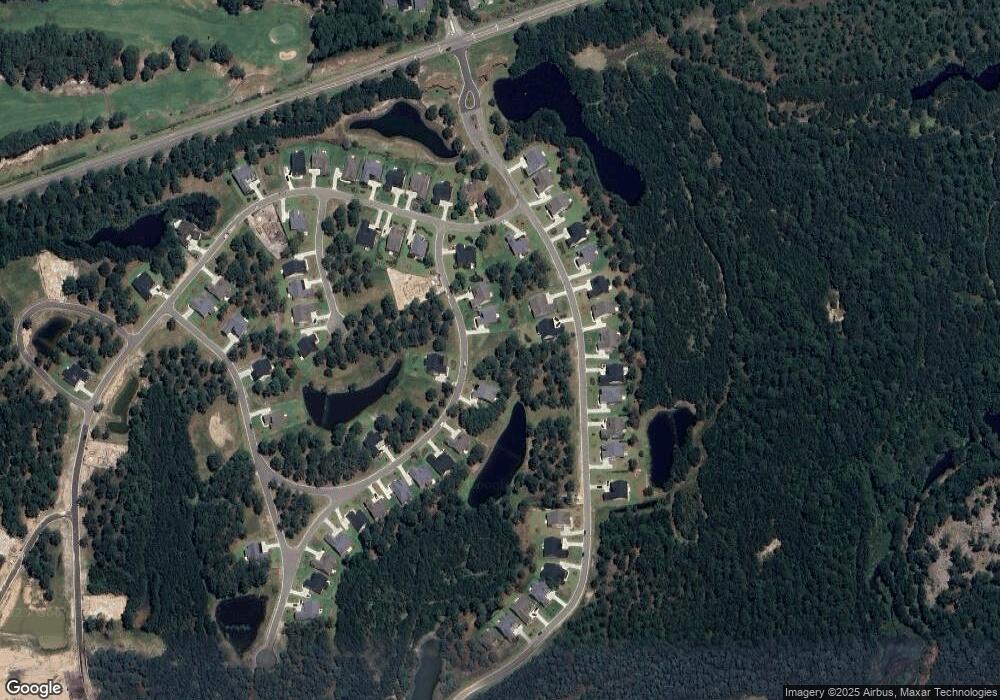
Map
Nearby Homes
- 1061 Crosby Cir SW
- 1058 Crosby Cir SW
- 1004 Crosby Cir SW
- 1047 Crosby Cir SW Unit 67
- 1053 Crosby Cir SW Unit 65
- 1028 Crosby Cir SW
- 1054 Tinton Point SW Unit 69
- 7440 Haddington Place SW Unit 30
- 7421 Branford Cir SW Unit 20
- 7411 Branford Cir SW Unit 16
- 7482 Haddington Place SW Unit 1
- 7575 Haddington Place SW Unit 84
- 7564 Haddington Place SW Unit 13
- 7524 Haddington Place SW Unit 7
- Anchor Plan at Haddington Place - Haddington Place at Ocean Ridge Plantation
- Channel Plan at Haddington Place - Haddington Place at Ocean Ridge Plantation
- Angler Plan at Haddington Place - Haddington Place at Ocean Ridge Plantation
- Bayshore Plan at Haddington Place - Haddington Place at Ocean Ridge Plantation
- Capeside Plan at Haddington Place - Haddington Place at Ocean Ridge Plantation
- Skiff Plan at Haddington Place - Haddington Place at Ocean Ridge Plantation
- 1024 Crosby Cir SW
- 1069 Crosby Cir SW
- 1023 Crosby Cir SW
- 1019 Crosby Cir SW
- 1015 Crosby Cir SW
- 1053 Crosby Cir SW
- 1008 Crosby Cir SW
- 1020 Crosby Cir SW
- 1036 Crosby Cir SW
- 1032 Crosby Cir SW
- 1047 Crosby Cir SW
- 1058 Crosby (Lot 58) SW
- 1016 Fynn Notch SW
- 1018 Fynn Notch SW
- 7452 Haddington Place SW
- 1054 Tinton Point SW
- 1008 Flynn Notch
- 1009 Fynn Notch SW
- 1055 Tinton Point
- 7440 Haddington Place SW