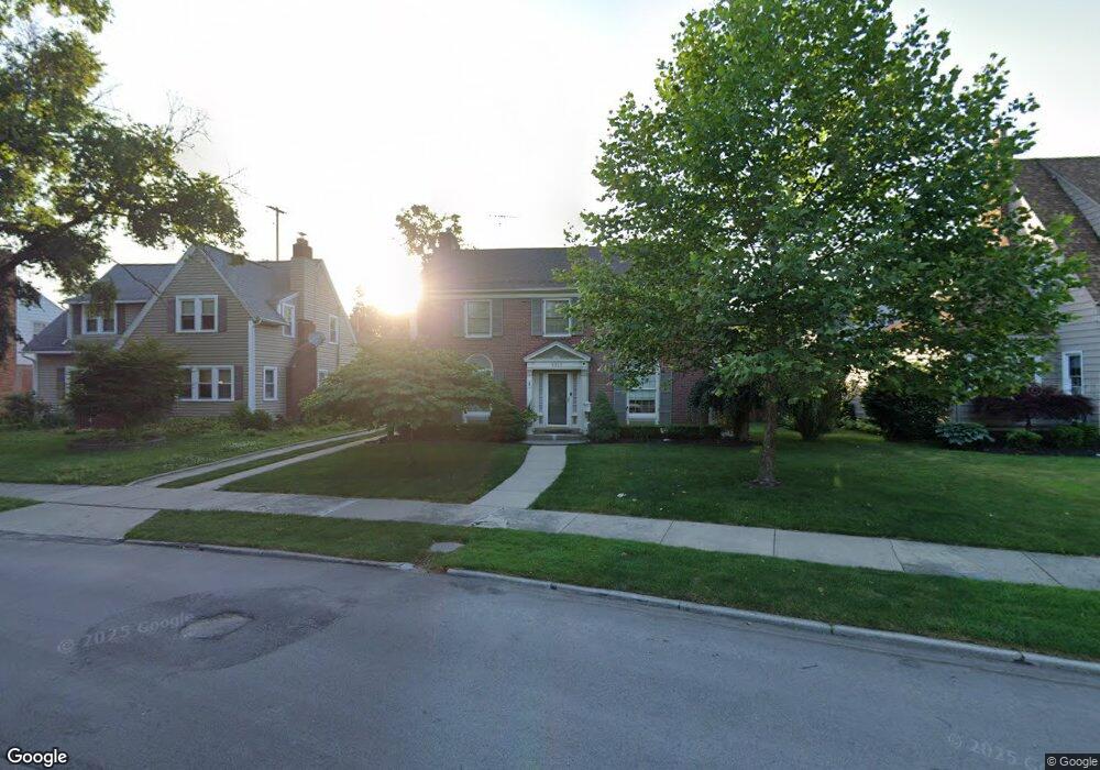
1013 E Fork Dr Flint, MI 48503
College Cultural Neighborhood NeighborhoodEstimated Value: $194,000 - $231,000
Studio
3
Baths
2,160
Sq Ft
$98/Sq Ft
Est. Value
About This Home
This home is located at 1013 E Fork Dr, Flint, MI 48503 and is currently estimated at $212,165, approximately $98 per square foot. 1013 E Fork Dr is a home located in Genesee County with nearby schools including Pierce Elementary School, Flint Southwestern Classical Academy, and Flint Cultural Center Academy.
Ownership History
Date
Name
Owned For
Owner Type
Purchase Details
Closed on
Sep 5, 2024
Sold by
Bargy Kimberly A and Bargy Dennis L
Bought by
Bargy Kimberly A and Kimberly A Bargy Living Trust
Current Estimated Value
Purchase Details
Closed on
May 28, 2020
Sold by
Bargy Dennis L and Bargy Kimberly A
Bought by
Bargy Dennis L and Bargy Kimberly A
Purchase Details
Closed on
Oct 10, 2005
Sold by
Syring Barbara A and Syring Wesley V
Bought by
Bargy Dennis L and Bargy Kimberly A
Create a Home Valuation Report for This Property
The Home Valuation Report is an in-depth analysis detailing your home's value as well as a comparison with similar homes in the area
Home Values in the Area
Average Home Value in this Area
Purchase History
| Date | Buyer | Sale Price | Title Company |
|---|---|---|---|
| Bargy Kimberly A | -- | None Listed On Document | |
| Bargy Dennis L | -- | None Available | |
| Bargy Dennis L | $132,900 | Guaranty Title Company |
Source: Public Records
Tax History
| Year | Tax Paid | Tax Assessment Tax Assessment Total Assessment is a certain percentage of the fair market value that is determined by local assessors to be the total taxable value of land and additions on the property. | Land | Improvement |
|---|---|---|---|---|
| 2025 | $1,822 | $104,400 | $0 | $0 |
| 2024 | $1,622 | $99,800 | $0 | $0 |
| 2023 | $1,576 | $82,300 | $0 | $0 |
| 2022 | $0 | $69,200 | $0 | $0 |
| 2021 | $1,658 | $65,800 | $0 | $0 |
| 2020 | $1,466 | $62,200 | $0 | $0 |
| 2019 | $1,410 | $52,200 | $0 | $0 |
| 2018 | $1,473 | $40,600 | $0 | $0 |
| 2017 | $1,425 | $0 | $0 | $0 |
| 2016 | $1,414 | $0 | $0 | $0 |
| 2015 | -- | $0 | $0 | $0 |
| 2014 | -- | $0 | $0 | $0 |
| 2012 | -- | $31,900 | $31,900 | $0 |
Source: Public Records
Map
Nearby Homes
- 1210 Blanchard Ave
- 915 E 8th St
- 915 E Court #206 St Unit 206
- 1510 S Franklin Ave
- 915 E Court St
- 2013 E Court St
- 1114 W Vernon Dr
- 2119 Mountain Ave
- 710 Pierson St
- 621 Pierson St
- 1701 Park St
- 1720 Park St
- 605 S Lynch St
- 410 E 4th St
- 301 Chandler St
- 314 E 4th St
- 1851 Seymour Ave
- 2010 Crocker Ave
- 434 Chalmers St
- A Avenue
- 1019 E Fork Dr
- 1035 Woodside Dr
- 1010 Beard St
- 1014 Beard St
- 1045 Woodside Dr
- 1006 Beard St
- 1024 Woodside Dr
- 1411 Calumet St
- 1020 Woodside Dr
- 1020 Beard St
- 1001 E Fork Dr
- 1009 Woodside Dr
- 926 Beard St
- 1014 Woodside Dr
- 922 Beard St
- 1013 Beard St
- 1017 Woodlawn Park Dr
- 926 E Fork Dr
- 1008 Woodside Dr
- 1007 Beard St
Your Personal Tour Guide
Ask me questions while you tour the home.