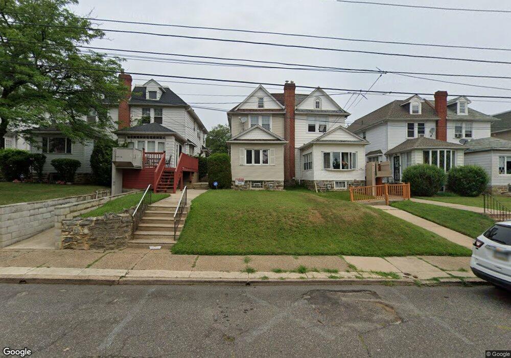
1013 Guenther Ave Lansdowne, PA 19050
Estimated Value: $218,000 - $282,000
3
Beds
2
Baths
1,546
Sq Ft
$161/Sq Ft
Est. Value
About This Home
This home is located at 1013 Guenther Ave, Lansdowne, PA 19050 and is currently estimated at $248,967, approximately $161 per square foot. 1013 Guenther Ave is a home located in Delaware County with nearby schools including Evans Elementary School, Penn Wood Middle School, and Penn Wood High School - Cypress Street Campus.
Ownership History
Date
Name
Owned For
Owner Type
Purchase Details
Closed on
May 22, 2003
Sold by
Barber La Verne A and Thornton Lemuel L
Bought by
Thornton Lemuel L
Current Estimated Value
Home Financials for this Owner
Home Financials are based on the most recent Mortgage that was taken out on this home.
Original Mortgage
$85,000
Interest Rate
5.83%
Mortgage Type
Purchase Money Mortgage
Purchase Details
Closed on
Dec 19, 1997
Sold by
Barber La Verne A
Bought by
Thornton Lemuel L and Barber La Verne A
Create a Home Valuation Report for This Property
The Home Valuation Report is an in-depth analysis detailing your home's value as well as a comparison with similar homes in the area
Home Values in the Area
Average Home Value in this Area
Purchase History
| Date | Buyer | Sale Price | Title Company |
|---|---|---|---|
| Thornton Lemuel L | -- | -- | |
| Thornton Lemuel L | -- | Security Search & Abstract C |
Source: Public Records
Mortgage History
| Date | Status | Borrower | Loan Amount |
|---|---|---|---|
| Closed | Thornton Lemuel L | $85,000 |
Source: Public Records
Tax History Compared to Growth
Tax History
| Year | Tax Paid | Tax Assessment Tax Assessment Total Assessment is a certain percentage of the fair market value that is determined by local assessors to be the total taxable value of land and additions on the property. | Land | Improvement |
|---|---|---|---|---|
| 2025 | $4,844 | $113,450 | $33,380 | $80,070 |
| 2024 | $4,844 | $113,450 | $33,380 | $80,070 |
| 2023 | $4,400 | $113,450 | $33,380 | $80,070 |
| 2022 | $4,195 | $113,450 | $33,380 | $80,070 |
| 2021 | $6,344 | $113,450 | $33,380 | $80,070 |
| 2020 | $4,317 | $69,120 | $19,260 | $49,860 |
| 2019 | $4,241 | $69,120 | $19,260 | $49,860 |
| 2018 | $4,182 | $69,120 | $0 | $0 |
| 2017 | $4,094 | $69,120 | $0 | $0 |
| 2016 | $379 | $69,120 | $0 | $0 |
| 2015 | $379 | $69,120 | $0 | $0 |
| 2014 | $379 | $69,120 | $0 | $0 |
Source: Public Records
Map
Nearby Homes
- 1016 Whitby Ave
- 813 Arbor Rd
- 740 Church Ln
- 825 Laurel Rd
- 711 Yeadon Ave Unit 1
- 800 Bullock Ave
- 702 Cedar Ave
- 536 Cypress St
- 722 Yeadon Ave
- 808 Serrill Ave
- 908 Yeadon Ave
- 921 Serrill Ave
- 537 Orchard Ave
- 939 Serrill Ave
- 503 Bonsall Ave
- 1104 Baily Rd
- 530 Orchard Ave
- 1781 S 65th St
- 435 Bonsall Ave
- 6535 Windsor St