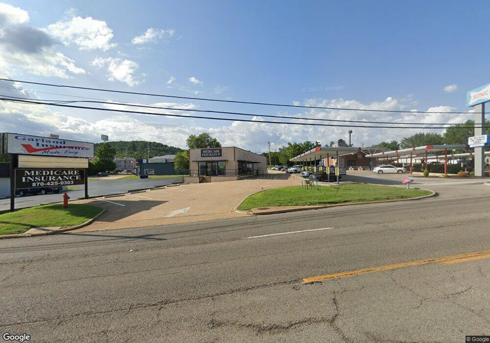
1013 Highway 62 E Mountain Home, AR 72653
Estimated Value: $464,804
Studio
1
Bath
2,160
Sq Ft
$215/Sq Ft
Est. Value
About This Home
This home is located at 1013 Highway 62 E, Mountain Home, AR 72653 and is currently estimated at $464,804, approximately $215 per square foot. 1013 Highway 62 E is a home located in Baxter County with nearby schools including Mountain Home Kindergarten, Nelson Wilks Herron Elementary School, and Hackler Intermediate School.
Ownership History
Date
Name
Owned For
Owner Type
Purchase Details
Closed on
Feb 20, 2024
Sold by
T & G Concepts Llc
Bought by
Garland Insurance Agency Inc
Current Estimated Value
Home Financials for this Owner
Home Financials are based on the most recent Mortgage that was taken out on this home.
Original Mortgage
$259,026
Outstanding Balance
$22,767
Interest Rate
5.89%
Mortgage Type
Construction
Estimated Equity
$442,037
Purchase Details
Closed on
Oct 29, 2010
Sold by
Schneider Knute F
Bought by
T & G Concepts Llc
Home Financials for this Owner
Home Financials are based on the most recent Mortgage that was taken out on this home.
Original Mortgage
$186,300
Interest Rate
4.32%
Mortgage Type
Commercial
Purchase Details
Closed on
Apr 29, 2005
Sold by
Ea Little
Bought by
Schneider Knute F
Create a Home Valuation Report for This Property
The Home Valuation Report is an in-depth analysis detailing your home's value as well as a comparison with similar homes in the area
Purchase History
| Date | Buyer | Sale Price | Title Company |
|---|---|---|---|
| Garland Insurance Agency Inc | $225,000 | None Listed On Document | |
| T & G Concepts Llc | -- | -- | |
| Schneider Knute F | $190,000 | -- |
Source: Public Records
Mortgage History
| Date | Status | Borrower | Loan Amount |
|---|---|---|---|
| Open | Garland Insurance Agency Inc | $259,026 | |
| Previous Owner | T & G Concepts Llc | $186,300 |
Source: Public Records
Tax History
| Year | Tax Paid | Tax Assessment Tax Assessment Total Assessment is a certain percentage of the fair market value that is determined by local assessors to be the total taxable value of land and additions on the property. | Land | Improvement |
|---|---|---|---|---|
| 2025 | $0 | $56,960 | $10,710 | $46,250 |
| 2024 | $2,430 | $56,960 | $10,710 | $46,250 |
| 2023 | $2,430 | $56,960 | $10,710 | $46,250 |
| 2022 | $2,430 | $56,960 | $10,710 | $46,250 |
| 2021 | $2,301 | $53,930 | $10,710 | $43,220 |
| 2020 | $2,301 | $53,930 | $10,710 | $43,220 |
| 2019 | $2,319 | $53,930 | $10,710 | $43,220 |
| 2018 | $2,175 | $53,930 | $10,710 | $43,220 |
| 2017 | $2,012 | $53,930 | $10,710 | $43,220 |
| 2016 | $1,813 | $44,580 | $9,580 | $35,000 |
| 2015 | $1,681 | $44,580 | $9,580 | $35,000 |
| 2014 | $1,813 | $44,580 | $9,580 | $35,000 |
Source: Public Records
Map
Nearby Homes
- 007-03282-002 N Cardinal Dr
- 1001 Bluebird Ln
- 007-14062-001 Wallace Knob Rd
- 1023 Nottington St
- 1027 Nottington St
- 1031 Nottington St
- 1301 Porter Ln
- 1035 Nottington St
- 1041 Nottington St
- 1441 Hobbs Ct
- 501 Willow Ln
- 1104 Ozark Ave
- 220 N Cardinal Dr
- 905 Coley Dr
- 515 Gentry St Unit 10
- 1223 Willowbrook Rd
- 611 N College St
- 615 Locust St
- 818 Locust St
- 007-01243-000 Parkview Cir
- 1012 Highway 62 E
- 1001 Highway 62 E
- 1014 Coley Dr
- 1020 Highway 62 E
- 00 Highland Pkwy
- 750 Highland Pkwy
- 750 Highland Pkwy
- 1023 Highway 62 E
- 0 Highland Cir Unit 10332450
- 0 Highland Cir Unit 100126
- 0 Highland Cir Unit 119879
- 0 Highland Cir Unit 119880
- 963 Highway 62 E
- 000 Highland Cir
- 00 Highland Cir
- 1014 Highland Cir
- 950 Highway 62 E
- 950 U S -62
- 995 Coley Dr
- 1031 Highland Cir
Your Personal Tour Guide
Ask me questions while you tour the home.