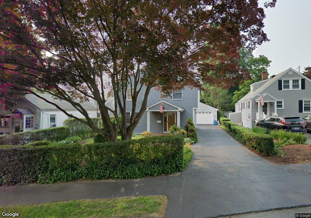
1013 Holland Hill Rd Fairfield, CT 06824
University NeighborhoodEstimated Value: $854,000 - $903,414
3
Beds
3
Baths
1,800
Sq Ft
$494/Sq Ft
Est. Value
About This Home
This home is located at 1013 Holland Hill Rd, Fairfield, CT 06824 and is currently estimated at $888,354, approximately $493 per square foot. 1013 Holland Hill Rd is a home located in Fairfield County with nearby schools including Osborn Hill Elementary School, Fairfield Woods Middle School, and Fairfield Ludlowe High School.
Ownership History
Date
Name
Owned For
Owner Type
Purchase Details
Closed on
Mar 7, 1985
Bought by
Zaleta Wayne R
Current Estimated Value
Create a Home Valuation Report for This Property
The Home Valuation Report is an in-depth analysis detailing your home's value as well as a comparison with similar homes in the area
Home Values in the Area
Average Home Value in this Area
Purchase History
| Date | Buyer | Sale Price | Title Company |
|---|---|---|---|
| Zaleta Wayne R | $89,000 | -- |
Source: Public Records
Mortgage History
| Date | Status | Borrower | Loan Amount |
|---|---|---|---|
| Open | Zaleta Wayne R | $160,000 | |
| Closed | Zaleta Wayne R | $100,000 | |
| Closed | Zaleta Wayne R | $95,000 | |
| Closed | Zaleta Wayne R | $95,000 |
Source: Public Records
Tax History Compared to Growth
Tax History
| Year | Tax Paid | Tax Assessment Tax Assessment Total Assessment is a certain percentage of the fair market value that is determined by local assessors to be the total taxable value of land and additions on the property. | Land | Improvement |
|---|---|---|---|---|
| 2025 | $9,746 | $343,280 | $225,750 | $117,530 |
| 2024 | $9,578 | $343,280 | $225,750 | $117,530 |
| 2023 | $9,444 | $343,280 | $225,750 | $117,530 |
| 2022 | $9,351 | $343,280 | $225,750 | $117,530 |
| 2021 | $9,262 | $343,280 | $225,750 | $117,530 |
| 2020 | $8,634 | $322,280 | $185,360 | $136,920 |
| 2019 | $8,634 | $322,280 | $185,360 | $136,920 |
| 2018 | $8,495 | $322,280 | $185,360 | $136,920 |
| 2017 | $8,321 | $322,280 | $185,360 | $136,920 |
| 2016 | $8,202 | $322,280 | $185,360 | $136,920 |
| 2015 | $7,431 | $299,740 | $205,800 | $93,940 |
| 2014 | $7,314 | $299,740 | $205,800 | $93,940 |
Source: Public Records
Map
Nearby Homes
- 15 Barton Rd
- 168 Wormwood Rd
- 133 Green Acre Ln
- 122 Colony St
- 38 Edge Hill Rd
- 2180 Kings Hwy Unit 1
- 20 Ermine St
- 478 Crestwood Rd
- 274 High St
- 68 Figlar Ave
- 109 Jeniford Rd
- 450 Davidson St
- 361 Riverside Dr
- 44 Deer Run Rd
- 45 Robin Cir
- 105 Charter Oak Rd
- 42 Robin Cir
- 105 Fox St Unit 107
- 96 Clinton St
- 165 Bennett St
- 380 Fairview Ave
- 1005 Holland Hill Rd
- 76 Woodside Ave
- 338 Colony St
- 330 Colony St
- 975 Holland Hill Rd
- 369 Fairview Ave
- 318 Colony St
- 998 Holland Hill Rd
- 351 Fairview Ave
- 52 Woodside Ave
- 310 Colony St
- 1841 Jennings Rd
- 1863 Jennings Rd
- 308 Colony St
- 965 Holland Hill Rd
- 332 Fairview Ave
- 996 Holland Hill Rd
- 320 Fairview Ave
- 972 Holland Hill Rd