1013 Joe Creek Rd Colville, WA 99114
Estimated Value: $161,189 - $2,068,000
--
Bed
--
Bath
1,296
Sq Ft
$517/Sq Ft
Est. Value
About This Home
This home is located at 1013 Joe Creek Rd, Colville, WA 99114 and is currently estimated at $670,547, approximately $517 per square foot. 1013 Joe Creek Rd is a home with nearby schools including Hofstetter Elementary School, Fort Colville Elementary School, and Colville Junior High School.
Ownership History
Date
Name
Owned For
Owner Type
Purchase Details
Closed on
Jul 23, 2019
Sold by
Schoenwald Uriah S and Estate Of Jerusha J Schoenwald
Bought by
Stuart Schoenwald Janet M
Current Estimated Value
Purchase Details
Closed on
Nov 17, 2015
Sold by
Stuart Schoenwald Janet Marie
Bought by
Schoenwald Jerusha J
Purchase Details
Closed on
Jul 26, 2015
Sold by
Schoenwald Ben C
Bought by
Blair Dennis L and Blair Julie
Purchase Details
Closed on
Jun 24, 2014
Sold by
Schoenwald Ben Christopher
Bought by
Blair Dennis L and Blair Julie
Create a Home Valuation Report for This Property
The Home Valuation Report is an in-depth analysis detailing your home's value as well as a comparison with similar homes in the area
Home Values in the Area
Average Home Value in this Area
Purchase History
| Date | Buyer | Sale Price | Title Company |
|---|---|---|---|
| Stuart Schoenwald Janet M | $1,441,961 | None Available | |
| Schoenwald Jerusha J | -- | None Available | |
| Blair Dennis L | $30,000 | Stevens County Title Company | |
| Blair Dennis L | $15,000 | Stevens County Title Company |
Source: Public Records
Tax History Compared to Growth
Tax History
| Year | Tax Paid | Tax Assessment Tax Assessment Total Assessment is a certain percentage of the fair market value that is determined by local assessors to be the total taxable value of land and additions on the property. | Land | Improvement |
|---|---|---|---|---|
| 2024 | $212 | $105,521 | $31,680 | $73,841 |
| 2023 | $208 | $100,205 | $31,680 | $68,525 |
| 2022 | $216 | $97,206 | $31,680 | $65,526 |
| 2021 | $230 | $95,837 | $31,680 | $64,157 |
| 2020 | $231 | $95,837 | $31,680 | $64,157 |
| 2019 | $747 | $94,929 | $31,680 | $63,249 |
| 2018 | $876 | $93,470 | $31,680 | $61,790 |
| 2017 | $796 | $93,290 | $31,680 | $61,610 |
| 2016 | $828 | $93,290 | $31,680 | $61,610 |
| 2015 | $629 | $95,312 | $31,680 | $63,632 |
| 2013 | -- | $70,360 | $11,880 | $58,480 |
Source: Public Records
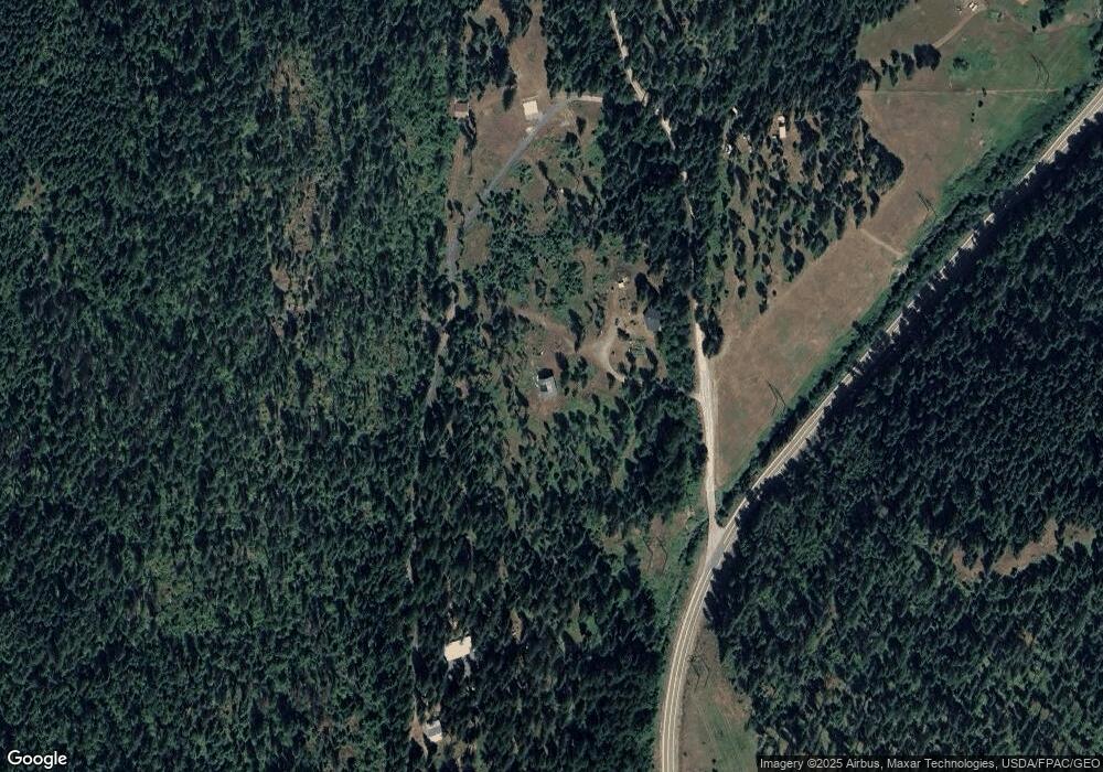
Map
Nearby Homes
- xxxx Cedar Creek Rd
- 717 Dry Gulch Rd
- 755 Conrad Hill Way
- 717 Conrad Hill Way
- 739 Prouty Corner Loop Rd
- 1555 Comstock Mine Rd
- 564 Old Dominion Rd
- 520 Knapp Rd
- 395A Old Dominion Rd
- 395 Old Dominion Rd
- 493 Mumau Rd
- 410 Prouty Corner Loop Rd
- Xxx Aladdin Rd
- 1334 Clugston-Onion Creek Rd
- LOT 1 Randall Rd
- 176 Aladdin Rd
- 512 Williams Lake Rd
- 1188 Randall Rd
- 961 Seigel Hill Rd
- 961 Seigel Hill Rd Unit G