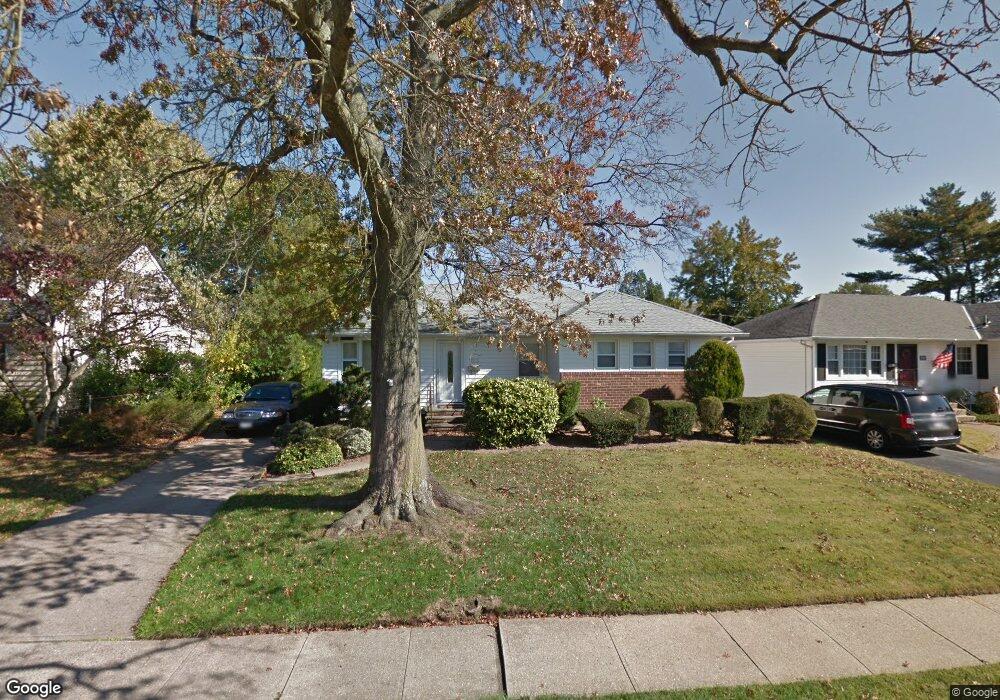
1013 Johnston Ave Wantagh, NY 11793
Estimated Value: $678,000 - $717,403
3
Beds
2
Baths
1,097
Sq Ft
$636/Sq Ft
Est. Value
About This Home
This home is located at 1013 Johnston Ave, Wantagh, NY 11793 and is currently estimated at $697,702, approximately $636 per square foot. 1013 Johnston Ave is a home located in Nassau County with nearby schools including Lee Road Elementary School, Jonas E. Salk Middle School, and Gen. Douglas MacArthur Senior High School.
Ownership History
Date
Name
Owned For
Owner Type
Purchase Details
Closed on
Apr 24, 2012
Sold by
Friedman Marsha S
Bought by
Carlstrom Richard
Current Estimated Value
Home Financials for this Owner
Home Financials are based on the most recent Mortgage that was taken out on this home.
Original Mortgage
$308,750
Outstanding Balance
$213,257
Interest Rate
3.91%
Mortgage Type
Purchase Money Mortgage
Estimated Equity
$484,445
Purchase Details
Closed on
Jul 23, 1996
Create a Home Valuation Report for This Property
The Home Valuation Report is an in-depth analysis detailing your home's value as well as a comparison with similar homes in the area
Home Values in the Area
Average Home Value in this Area
Purchase History
| Date | Buyer | Sale Price | Title Company |
|---|---|---|---|
| Carlstrom Richard | $325,000 | -- | |
| -- | -- | -- |
Source: Public Records
Mortgage History
| Date | Status | Borrower | Loan Amount |
|---|---|---|---|
| Open | Carlstrom Richard | $308,750 |
Source: Public Records
Tax History Compared to Growth
Tax History
| Year | Tax Paid | Tax Assessment Tax Assessment Total Assessment is a certain percentage of the fair market value that is determined by local assessors to be the total taxable value of land and additions on the property. | Land | Improvement |
|---|---|---|---|---|
| 2025 | $12,710 | $439 | $236 | $203 |
| 2024 | $3,250 | $451 | $242 | $209 |
| 2023 | $12,745 | $478 | $257 | $221 |
| 2022 | $12,745 | $478 | $257 | $221 |
| 2021 | $17,488 | $455 | $245 | $210 |
| 2020 | $12,560 | $675 | $489 | $186 |
| 2019 | $12,152 | $675 | $489 | $186 |
| 2018 | $11,417 | $675 | $0 | $0 |
| 2017 | $7,266 | $675 | $489 | $186 |
| 2016 | $10,213 | $675 | $489 | $186 |
| 2015 | $2,751 | $675 | $489 | $186 |
| 2014 | $2,751 | $675 | $489 | $186 |
| 2013 | $2,511 | $657 | $489 | $168 |
Source: Public Records
Map
Nearby Homes
- 2960 Morgan Dr
- 985 Douglas Ave
- 2874 Michael Rd
- 899 Brent Dr
- 2794 Janet Ave
- 930 W Shelley Rd
- 859 Brent Dr
- 2846 Walter Rd
- 1200 Roger Rd
- 1243 Peapond Rd
- 236 Duckpond Dr S
- 886 Bellmore Ave
- 84 Stanford Ct
- 86 Weaving Ln
- 875 Woodside Dr
- 1253 Raymond Rd
- 2720 Elm Dr
- 231 Willowood Dr
- 2986 Valley Rd
- 858 Mayer Dr
- 1007 Johnston Ave
- 1019 Johnston Ave
- 1020 Mclean Ave
- 999 Johnston Ave
- 1025 Johnston Ave
- 1014 Mclean Ave
- 1012 Johnston Ave
- 1018 Johnston Ave
- 1006 Johnston Ave
- 2954 Kinloch Rd
- 1028 Mclean Ave
- 1031 Johnston Ave
- 2948 Kinloch Rd
- 1000 Johnston Ave
- 2960 Kinloch Rd
- 1030 Johnston Ave
- 1036 Mclean Ave
- 1037 Johnston Ave
- 1015 Douglas Ave
- 2934 Kinloch Rd