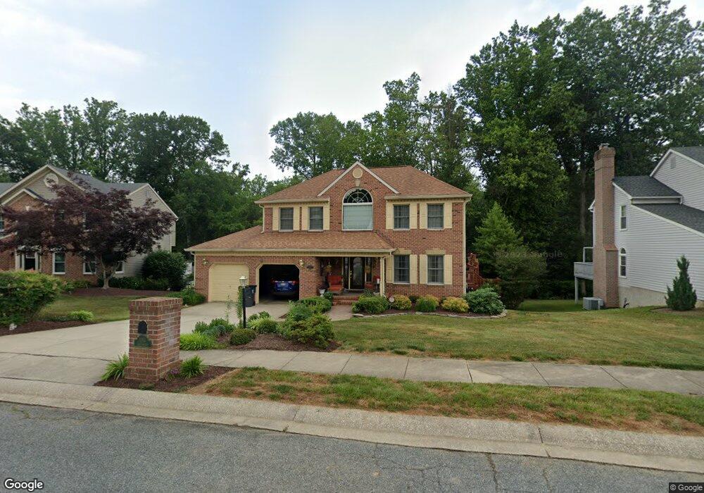
1013 Longstream Ct Bel Air, MD 21014
Estimated Value: $593,439 - $692,000
--
Bed
3
Baths
2,541
Sq Ft
$259/Sq Ft
Est. Value
About This Home
This home is located at 1013 Longstream Ct, Bel Air, MD 21014 and is currently estimated at $657,610, approximately $258 per square foot. 1013 Longstream Ct is a home located in Harford County with nearby schools including Bel Air Elementary School, Southampton Middle School, and C. Milton Wright High School.
Ownership History
Date
Name
Owned For
Owner Type
Purchase Details
Closed on
Feb 1, 1994
Sold by
Kalinski W
Bought by
Darretta Robert S
Current Estimated Value
Home Financials for this Owner
Home Financials are based on the most recent Mortgage that was taken out on this home.
Original Mortgage
$115,000
Interest Rate
7.11%
Purchase Details
Closed on
Dec 7, 1990
Sold by
Stapf Charles Q & Sons Inc
Bought by
Kalinski Walter
Home Financials for this Owner
Home Financials are based on the most recent Mortgage that was taken out on this home.
Original Mortgage
$170,000
Interest Rate
9.81%
Purchase Details
Closed on
Aug 28, 1990
Sold by
Stuart Homes Inc
Bought by
Stapf Charles Q & Sons Inc
Create a Home Valuation Report for This Property
The Home Valuation Report is an in-depth analysis detailing your home's value as well as a comparison with similar homes in the area
Home Values in the Area
Average Home Value in this Area
Purchase History
| Date | Buyer | Sale Price | Title Company |
|---|---|---|---|
| Darretta Robert S | $225,000 | -- | |
| Kalinski Walter | $229,100 | -- | |
| Stapf Charles Q & Sons Inc | $52,000 | -- |
Source: Public Records
Mortgage History
| Date | Status | Borrower | Loan Amount |
|---|---|---|---|
| Closed | Darretta Robert S | $115,000 | |
| Previous Owner | Kalinski Walter | $170,000 |
Source: Public Records
Tax History Compared to Growth
Tax History
| Year | Tax Paid | Tax Assessment Tax Assessment Total Assessment is a certain percentage of the fair market value that is determined by local assessors to be the total taxable value of land and additions on the property. | Land | Improvement |
|---|---|---|---|---|
| 2025 | $4,508 | $442,200 | $119,200 | $323,000 |
| 2024 | $4,290 | $419,633 | $0 | $0 |
| 2023 | $4,290 | $397,067 | $0 | $0 |
| 2022 | $4,082 | $374,500 | $119,200 | $255,300 |
| 2021 | $4,222 | $370,200 | $0 | $0 |
| 2020 | $4,222 | $365,900 | $0 | $0 |
| 2019 | $4,173 | $361,600 | $124,600 | $237,000 |
| 2018 | $4,135 | $361,600 | $124,600 | $237,000 |
| 2017 | $4,192 | $361,600 | $0 | $0 |
| 2016 | -- | $366,600 | $0 | $0 |
| 2015 | $4,167 | $363,833 | $0 | $0 |
| 2014 | $4,167 | $361,067 | $0 | $0 |
Source: Public Records
Map
Nearby Homes
- 617 Loring Ave
- 1227 Hickory Brook Ct
- 584 Felix Ct
- 1239 Whispering Woods Way
- 1700 Conowingo Rd
- 732 Hickory Limb Cir
- 502 Lloyd Place Unit F
- 1420 Roman Ridge Way
- 734 Reedy Cir
- 1006 Diamond Oaks Ct
- 483 Moores Mill Rd
- 402 Aggies Cir Unit D
- 207 Kings Crossing Cir Unit 1C
- 918 Chesney Ln
- 479 Moores Mill Rd
- 1003 Running Creek Way Unit G
- 245 Bynum Ridge Rd
- 243 Bynum Ridge Rd
- 1405 Kahoe Rd
- 240 Crocker Dr Unit 240-F
- 1011 Longstream Ct
- 1015 Longstream Ct
- 1017 Longstream Ct
- 1009 Longstream Ct
- 1010 Longstream Ct
- 774 Braewood Ct
- 1016 Longstream Ct
- 1012 Longstream Ct
- 1014 Longstream Ct
- 1007 Longstream Ct
- 772 Braewood Ct
- 1005 Longstream Ct
- 1004 Longstream Ct
- 770 Braewood Ct
- 1003 Longstream Ct
- 773 Braewood Ct
- 1002 Longstream Ct
- 771 Braewood Ct
- 756 Henderson Rd Unit NOLAN LANE
- 756 Henderson Rd