Estimated Value: $187,747 - $222,000
3
Beds
2
Baths
954
Sq Ft
$217/Sq Ft
Est. Value
About This Home
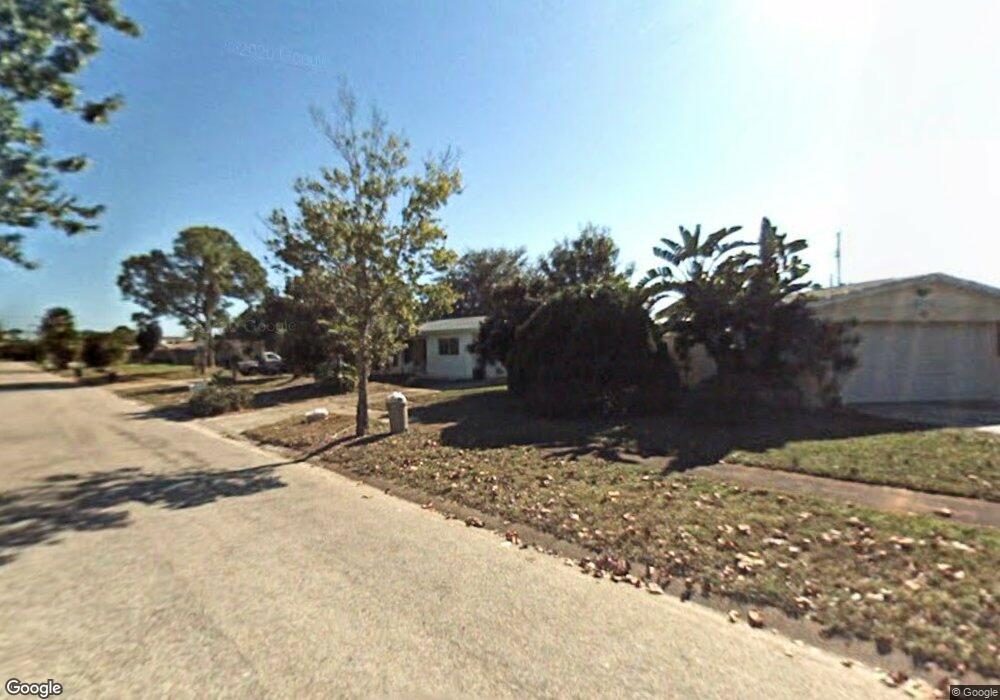
This home is located at 1013 Poinsetta St, Cocoa, FL 32927 and is currently estimated at $207,437, approximately $217 per square foot. 1013 Poinsetta St is a home located in Brevard County with nearby schools including Atlantis Elementary School, Space Coast Junior/Senior High School, and East Atlantic Prep of Brevard County.
Ownership History
Date
Name
Owned For
Owner Type
Purchase Details
Closed on
Feb 1, 2002
Sold by
Baggaley David
Bought by
Baggaley Ann Marie
Current Estimated Value
Purchase Details
Closed on
Apr 21, 1994
Sold by
Schneider Geoffrey R and Schneider Rachel L
Bought by
Baggaley David A and Baggaley Ann
Home Financials for this Owner
Home Financials are based on the most recent Mortgage that was taken out on this home.
Original Mortgage
$51,809
Interest Rate
7.77%
Create a Home Valuation Report for This Property
The Home Valuation Report is an in-depth analysis detailing your home's value as well as a comparison with similar homes in the area
Home Values in the Area
Average Home Value in this Area
Purchase History
| Date | Buyer | Sale Price | Title Company |
|---|---|---|---|
| Baggaley Ann Marie | -- | -- | |
| Baggaley David A | $52,000 | -- |
Source: Public Records
Mortgage History
| Date | Status | Borrower | Loan Amount |
|---|---|---|---|
| Previous Owner | Baggaley David A | $51,809 |
Source: Public Records
Tax History
| Year | Tax Paid | Tax Assessment Tax Assessment Total Assessment is a certain percentage of the fair market value that is determined by local assessors to be the total taxable value of land and additions on the property. | Land | Improvement |
|---|---|---|---|---|
| 2025 | $615 | $34,740 | -- | -- |
| 2024 | $591 | $33,540 | -- | -- |
| 2023 | $591 | $32,570 | $0 | $0 |
| 2022 | $561 | $31,630 | $0 | $0 |
| 2021 | $540 | $30,710 | $0 | $0 |
| 2020 | $498 | $30,290 | $0 | $0 |
| 2019 | $434 | $29,610 | $0 | $0 |
| 2018 | $424 | $29,060 | $0 | $0 |
| 2017 | $408 | $28,470 | $0 | $0 |
| 2016 | $395 | $27,890 | $18,000 | $9,890 |
| 2015 | $382 | $27,700 | $15,000 | $12,700 |
| 2014 | $379 | $27,480 | $11,000 | $16,480 |
Source: Public Records
Map
Nearby Homes
- 1029 Illinois Rd
- 1040 Jersey St
- 1014 Illinois Rd
- 361 Payne Ave
- 977 Poinsetta St
- 1050 Barclay Dr
- 973 Poinsetta St
- 414 Oakridge Ave
- 961 Kaufman St
- 520 Arabella Ln
- 000 Arabella Ln
- 7060 N Highway 1 Unit AA206
- 7060 N Highway 1 Unit 205
- 7060 N Highway 1 Unit AA102
- 985 Tope St
- 7030 N Highway 1 Unit 101
- 7030 N Highway 1 Unit B-106
- 7030 N Highway 1 Unit DD102
- 925 MacCo Rd
- 7000 N Highway 1 Unit Gg-205
- 1025 Poinsetta St
- 1001 Poinsetta St
- 1030 Illinois Rd
- 1034 Illinois Rd
- 1026 Illinois Rd
- 1002 Poinsetta St
- 1038 Illinois Rd
- 1014 Poinsetta St
- 1026 Poinsetta St
- 997 Poinsetta St
- 1049 Poinsetta St
- 1042 Illinois Rd
- 1038 Poinsetta St
- 1022 Illinois Rd
- 0 No Access Unit 496918
- 0 None Unit 501676
- 0 None Unit 510932
- 0 No Access Unit 520740
- 0 No Current Address Unit 573621
- 0 None Unit 588129
Your Personal Tour Guide
Ask me questions while you tour the home.