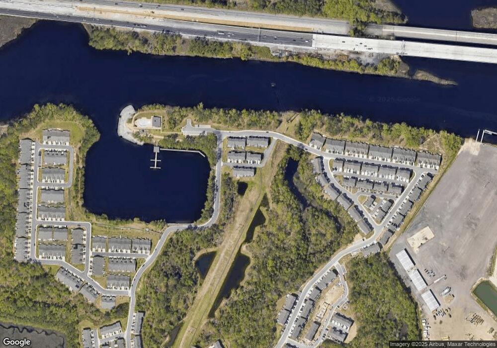
1013 Port Side Way Chesapeake, VA 23323
Deep Creek NeighborhoodEstimated Value: $413,000 - $435,000
3
Beds
3
Baths
1,978
Sq Ft
$213/Sq Ft
Est. Value
About This Home
This home is located at 1013 Port Side Way, Chesapeake, VA 23323 and is currently estimated at $420,713, approximately $212 per square foot. 1013 Port Side Way is a home located in Chesapeake City with nearby schools including Hugo A. Owens Middle and Grassfield High School.
Ownership History
Date
Name
Owned For
Owner Type
Purchase Details
Closed on
Aug 26, 2021
Sold by
Brooks Rhonda Michelle and Wilson Kristoffer
Bought by
Fernandez Ricardo Francis and Fernandez Samantha
Current Estimated Value
Home Financials for this Owner
Home Financials are based on the most recent Mortgage that was taken out on this home.
Original Mortgage
$386,694
Outstanding Balance
$351,338
Interest Rate
2.7%
Mortgage Type
VA
Estimated Equity
$69,375
Purchase Details
Closed on
Oct 5, 2020
Sold by
Nvr Inc
Bought by
Brooks Rhonda Michelle and Wilson Kristoffer
Home Financials for this Owner
Home Financials are based on the most recent Mortgage that was taken out on this home.
Original Mortgage
$336,078
Interest Rate
2.9%
Mortgage Type
VA
Create a Home Valuation Report for This Property
The Home Valuation Report is an in-depth analysis detailing your home's value as well as a comparison with similar homes in the area
Home Values in the Area
Average Home Value in this Area
Purchase History
| Date | Buyer | Sale Price | Title Company |
|---|---|---|---|
| Fernandez Ricardo Francis | $378,000 | Attorney | |
| Brooks Rhonda Michelle | $336,078 | Stewart Title Guaranty Co |
Source: Public Records
Mortgage History
| Date | Status | Borrower | Loan Amount |
|---|---|---|---|
| Open | Fernandez Ricardo Francis | $386,694 | |
| Previous Owner | Brooks Rhonda Michelle | $336,078 |
Source: Public Records
Tax History Compared to Growth
Tax History
| Year | Tax Paid | Tax Assessment Tax Assessment Total Assessment is a certain percentage of the fair market value that is determined by local assessors to be the total taxable value of land and additions on the property. | Land | Improvement |
|---|---|---|---|---|
| 2025 | $3,700 | $390,600 | $125,000 | $265,600 |
| 2024 | $3,700 | $366,300 | $115,000 | $251,300 |
| 2023 | $3,488 | $368,100 | $115,000 | $253,100 |
| 2022 | $3,544 | $350,900 | $110,000 | $240,900 |
| 2021 | $3,245 | $299,500 | $95,000 | $204,500 |
Source: Public Records
Map
Nearby Homes
- 1809 Barkadeer Cove
- 963 Gabion Way
- 949 Gabion Way
- 907 Adventure Way
- 1830 Whelp Way
- 900 Gabion Way
- 1801 Yardarm Way
- 918 Parley Place
- 1808 Aft Way
- 1616 Estuary Ct
- 1857 Shipyard Rd
- 1010 Annabranch Trace
- 1860 Millville Rd
- 1463 Rivers Edge Trace
- 1616 Woodbriar Ln
- 1400 Winslow Ave
- 221 Gruen St
- 1704 Kaywood Ln
- 1957 Rockwood Dr
- 1472 Culpepper Ave
- 1015 Port Side Way
- 1011 Port Side Way
- 1011 Port Unit Way
- 1016 Port Side Way
- 1009 Port Side Way
- 1012 Port Side Way
- 1007 Port Side Way
- 1014 Port Side Way
- 1008 Port Side Way
- 1018 Port Side Way
- 1005 Port Side Way
- 1004 Port Side Way
- 1002 Port Side Way
- 1000 Port Side Way
- 1811 Barkadeer Cove
- 1813 Barkadeer Cove
- 1807 Barkadeer Cove
- 1815 Barkadeer Cove
- 1805 Barkadeer Cove
- 1817 Barkadeer Cove
