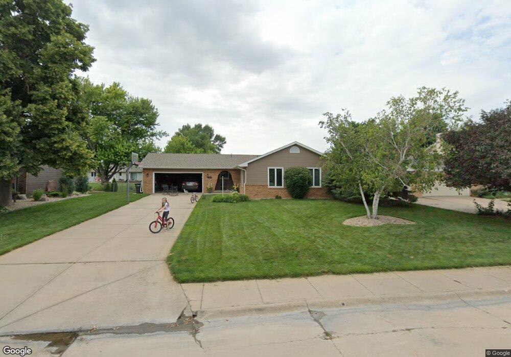
1013 Richmond Ave Hastings, NE 68901
Estimated Value: $279,916 - $323,000
3
Beds
2
Baths
1,621
Sq Ft
$185/Sq Ft
Est. Value
About This Home
This home is located at 1013 Richmond Ave, Hastings, NE 68901 and is currently estimated at $299,729, approximately $184 per square foot. 1013 Richmond Ave is a home located in Adams County with nearby schools including Hastings Senior High School, St. Michael's Preschool & Elementary School, and Zion Lutheran School.
Ownership History
Date
Name
Owned For
Owner Type
Purchase Details
Closed on
Jul 30, 2011
Sold by
Horning Brian E and Horning Sherri S
Bought by
Kautz Jediah R and Kautz Erin E
Current Estimated Value
Home Financials for this Owner
Home Financials are based on the most recent Mortgage that was taken out on this home.
Original Mortgage
$142,800
Outstanding Balance
$11,809
Interest Rate
4.58%
Mortgage Type
New Conventional
Estimated Equity
$287,920
Create a Home Valuation Report for This Property
The Home Valuation Report is an in-depth analysis detailing your home's value as well as a comparison with similar homes in the area
Home Values in the Area
Average Home Value in this Area
Purchase History
| Date | Buyer | Sale Price | Title Company |
|---|---|---|---|
| Kautz Jediah R | $179,000 | Adams Land Title |
Source: Public Records
Mortgage History
| Date | Status | Borrower | Loan Amount |
|---|---|---|---|
| Open | Kautz Jediah R | $142,800 |
Source: Public Records
Tax History Compared to Growth
Tax History
| Year | Tax Paid | Tax Assessment Tax Assessment Total Assessment is a certain percentage of the fair market value that is determined by local assessors to be the total taxable value of land and additions on the property. | Land | Improvement |
|---|---|---|---|---|
| 2024 | $4,177 | $259,729 | $30,814 | $228,915 |
| 2023 | $4,875 | $236,249 | $30,814 | $205,435 |
| 2022 | $4,567 | $202,756 | $30,814 | $171,942 |
| 2021 | $4,200 | $191,507 | $30,814 | $160,693 |
| 2020 | $3,964 | $183,855 | $30,814 | $153,041 |
| 2019 | $3,680 | $172,519 | $30,814 | $141,705 |
| 2018 | $3,520 | $164,115 | $22,410 | $141,705 |
| 2017 | $3,457 | $161,335 | $0 | $0 |
| 2016 | $3,265 | $152,245 | $22,410 | $129,835 |
| 2011 | -- | $141,375 | $20,170 | $121,205 |
Source: Public Records
Map
Nearby Homes
- 909 Brentwood Ave
- 2707 W 9th St
- 2708 Edgewood Ln
- 2521 Boyce St
- 2501 W 10th St
- 2616 W 6th St
- 401 Sunset Dr
- 2416 W 9th St
- 2330 W 11th St
- 2301 Bateman Ave
- 2229 W 8th St
- 1314 N Laird Ave
- 2200 W 7th St
- 1402 Arapahoe Ave
- 736 N Barnes Ave
- 711 Crane Ave
- 1331 Crane Ave
- 1500 Apache Ave
- 1911 W 11th St
- 1225 Heritage Dr
- 1017 Richmond Ave
- 1009 Richmond Ave
- 1018 Sycamore Ave
- 1014 Sycamore Ave
- 1022 Sycamore Ave
- 1005 Richmond Ave
- 1021 Richmond Ave
- 1012 Richmond Ave
- 1008 Richmond Ave
- 1008 Sycamore Ave
- 1016 Richmond Ave
- 1028 Sycamore Ave
- 1001 Richmond Ave
- 1020 Richmond Ave
- 1004 Sycamore Ave
- 1000 Richmond Ave
- 1007 Glenwood Ave
- 1003 Glenwood Ave
- 1011 Glenwood Ave
- 933 Richmond Ave