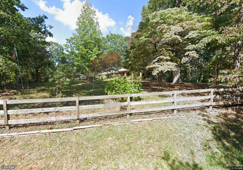
1013 Robinson Rd Dahlonega, GA 30533
Estimated Value: $345,000 - $559,000
--
Bed
2
Baths
1,540
Sq Ft
$275/Sq Ft
Est. Value
About This Home
This home is located at 1013 Robinson Rd, Dahlonega, GA 30533 and is currently estimated at $424,246, approximately $275 per square foot. 1013 Robinson Rd is a home located in Lumpkin County with nearby schools including Clay County Middle School and Lumpkin County High School.
Ownership History
Date
Name
Owned For
Owner Type
Purchase Details
Closed on
Oct 22, 2018
Sold by
Krueger Stephen Eric
Bought by
Krueger Patricia Lois
Current Estimated Value
Purchase Details
Closed on
Sep 22, 2005
Sold by
Young Robert W Executor
Bought by
Krueger Patricia L
Purchase Details
Closed on
Apr 1, 1986
Sold by
Young Albert H
Bought by
Young Albert H
Purchase Details
Closed on
May 1, 1983
Bought by
Young Albert H
Create a Home Valuation Report for This Property
The Home Valuation Report is an in-depth analysis detailing your home's value as well as a comparison with similar homes in the area
Home Values in the Area
Average Home Value in this Area
Purchase History
| Date | Buyer | Sale Price | Title Company |
|---|---|---|---|
| Krueger Patricia Lois | -- | -- | |
| Krueger Patricia L | $210,000 | -- | |
| Young Albert H | -- | -- | |
| Young Albert H | -- | -- |
Source: Public Records
Tax History Compared to Growth
Tax History
| Year | Tax Paid | Tax Assessment Tax Assessment Total Assessment is a certain percentage of the fair market value that is determined by local assessors to be the total taxable value of land and additions on the property. | Land | Improvement |
|---|---|---|---|---|
| 2024 | $2,238 | $94,055 | $19,722 | $74,333 |
| 2023 | $2,069 | $87,949 | $17,929 | $70,020 |
| 2022 | $1,996 | $80,615 | $14,941 | $65,674 |
| 2021 | $1,828 | $71,399 | $14,941 | $56,458 |
| 2020 | $1,834 | $69,507 | $14,317 | $55,190 |
| 2019 | $1,850 | $69,507 | $14,317 | $55,190 |
| 2018 | $1,794 | $63,242 | $14,317 | $48,925 |
| 2017 | $1,817 | $62,819 | $14,317 | $48,502 |
| 2016 | $1,720 | $57,513 | $14,317 | $43,196 |
| 2015 | -- | $57,513 | $14,317 | $43,196 |
| 2014 | -- | $58,643 | $14,317 | $44,326 |
| 2013 | -- | $59,772 | $14,317 | $45,455 |
Source: Public Records
Map
Nearby Homes
- 38 Cavender Run
- 134 Rockhound Dr
- 134 Prospector Ridge
- 103 Rockhound Dr
- 67 Quartz Way
- 270 Prospector Ridge
- 1376 Robinson Rd
- 533 Birch River Dr Unit GV17
- 72 Rustin Ridge Unit 276
- 58 Rustin Ridge Unit 278
- 42 Rustin Ridge Unit 285
- 0 Stamp Mill Dr
- 133 Stamp Mill Dr
- 176 Stamp Mill Ln
- 145 Hawks View
- 1113 Kiliahote Pass
- 2041 Long Branch Rd
- 2041 Long Branch Rd Unit TRACT 2A
- 0 Robinson Rd Unit 10597950
- 0 Robinson Rd Unit 7643549
- 1013 Robin Hood Rd
- 1053 Robinson Rd
- 10 Cavender Run
- 10 Cavender Run Unit 721
- 105 Cane Mill Ln
- 980 Robinson Rd
- 0 Cavender Run Unit 8638203
- 0 Cavender Run Unit 7006668
- 0 Cavender Run
- 133 Cane Mill Ln
- 133 Cane Mill Ln Unit 723
- 179 Cane Mill Ln
- 1050 Robinson Rd
- 9 Cavender Run
- 47 Cavender Run
- 9 Cavender Run
- 9 Cavender Run
- 1064 Robinson Rd
- 65 Cavender Run
- 902 Robinson Rd