1013 Rockport Rd Hackettstown, NJ 07840
Estimated Value: $402,322 - $586,000
--
Bed
--
Bath
1,338
Sq Ft
$369/Sq Ft
Est. Value
About This Home
This home is located at 1013 Rockport Rd, Hackettstown, NJ 07840 and is currently estimated at $494,161, approximately $369 per square foot. 1013 Rockport Rd is a home located in Warren County with nearby schools including Great Meadows Regional Middle School.
Ownership History
Date
Name
Owned For
Owner Type
Purchase Details
Closed on
Dec 1, 1995
Sold by
Hendershot Michael
Bought by
Hendershot Michael S and Escheman Beth Ann
Current Estimated Value
Purchase Details
Closed on
Nov 27, 1995
Sold by
Hendershot Cecelia L
Bought by
Hendershot Michael
Purchase Details
Closed on
Nov 24, 1995
Sold by
Hendershot Richard and Hendershot Donald M
Bought by
Hendershot Michael S and Escheman Beth Ann
Create a Home Valuation Report for This Property
The Home Valuation Report is an in-depth analysis detailing your home's value as well as a comparison with similar homes in the area
Home Values in the Area
Average Home Value in this Area
Purchase History
| Date | Buyer | Sale Price | Title Company |
|---|---|---|---|
| Hendershot Michael S | -- | -- | |
| Hendershot Michael | -- | -- | |
| Hendershot Michael S | -- | First American |
Source: Public Records
Tax History Compared to Growth
Tax History
| Year | Tax Paid | Tax Assessment Tax Assessment Total Assessment is a certain percentage of the fair market value that is determined by local assessors to be the total taxable value of land and additions on the property. | Land | Improvement |
|---|---|---|---|---|
| 2025 | $7,241 | $197,100 | $69,000 | $128,100 |
| 2024 | $7,082 | $197,100 | $69,000 | $128,100 |
| 2023 | $6,908 | $197,100 | $69,000 | $128,100 |
| 2022 | $6,908 | $197,100 | $69,000 | $128,100 |
| 2021 | $6,831 | $197,100 | $69,000 | $128,100 |
| 2020 | $6,646 | $197,100 | $69,000 | $128,100 |
| 2019 | $6,534 | $197,100 | $69,000 | $128,100 |
| 2018 | $6,552 | $197,100 | $69,000 | $128,100 |
| 2017 | $6,552 | $197,100 | $69,000 | $128,100 |
| 2016 | $6,337 | $197,100 | $69,000 | $128,100 |
| 2015 | $6,244 | $197,100 | $69,000 | $128,100 |
| 2014 | $5,966 | $197,100 | $69,000 | $128,100 |
Source: Public Records
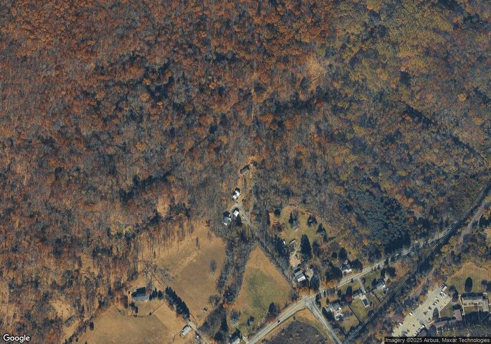
Map
Nearby Homes
- 133 Deerfield Dr
- 150 College View Dr
- 135 Cynthia Dr
- 209 Riva Dr Unit 3A24H
- 225 Riva Dr
- 250 Riva Dr
- 533 W Valley View Ave
- 20 Highland Rd
- 522 W Valley View Ave
- 124 Canal Way
- 102 Sunnyview Ave E
- 3 Fieldcrest Dr
- 412 W Plane St
- 53 Winchester Ave
- 403 W Plane St
- 313 Grand Ave
- 00 Russling Rd Route46
- 302 Grand Ave
- 113 W Valley View Ave
- 310 Warren St
- 1019 Rockport Rd
- 1019 Rockport Rd
- 1029 Rockport Rd
- 0 Rockport Rd
- 986 Rockport Rd
- 1022 Rockport Rd
- 1028 Rockport Rd
- 1040 Rockport Rd
- 983 Rockport Rd
- 1008 Rockport Rd
- 998 Rockport Rd
- 61 Alexandria Dr
- 988 Rockport Rd
- 6 Alexandria Dr
- 10 Alexandria Dr
- 203 College View Dr
- 201 College View Dr
- 978 Rockport Rd
- 199 College View Dr
- 968 Rockport Rd