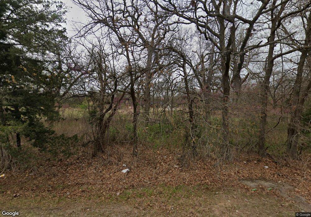
1013 S Mcloud Rd McLoud, OK 74851
Estimated Value: $439,000 - $1,081,882
3
Beds
2
Baths
4,843
Sq Ft
$157/Sq Ft
Est. Value
About This Home
This home is located at 1013 S Mcloud Rd, McLoud, OK 74851 and is currently estimated at $760,441, approximately $157 per square foot. 1013 S Mcloud Rd is a home located in Pottawatomie County with nearby schools including McLoud Intermediate School, McLoud Elementary School, and McLoud Junior High School.
Ownership History
Date
Name
Owned For
Owner Type
Purchase Details
Closed on
May 17, 2018
Sold by
Walker Douglas B and Walker Melissa K
Bought by
Walker Family Trust
Current Estimated Value
Purchase Details
Closed on
Apr 22, 2002
Sold by
Davis Wayne and Davis Rosalie
Bought by
Walker Douglas and Walker Melissa
Purchase Details
Closed on
Apr 24, 1996
Sold by
Boatman'S First Bank
Bought by
Davis Wayne and Davis Rosalie
Purchase Details
Closed on
Oct 30, 1995
Sold by
Sheriff
Bought by
Boatman'S First Bank
Purchase Details
Closed on
Oct 6, 1993
Sold by
Goodwin Deborah
Bought by
Simpson Mary
Create a Home Valuation Report for This Property
The Home Valuation Report is an in-depth analysis detailing your home's value as well as a comparison with similar homes in the area
Home Values in the Area
Average Home Value in this Area
Purchase History
| Date | Buyer | Sale Price | Title Company |
|---|---|---|---|
| Walker Family Trust | -- | None Available | |
| Walker Douglas | $180,000 | -- | |
| Davis Wayne | $80,000 | -- | |
| Boatman'S First Bank | -- | -- | |
| Simpson Mary | -- | -- |
Source: Public Records
Tax History Compared to Growth
Tax History
| Year | Tax Paid | Tax Assessment Tax Assessment Total Assessment is a certain percentage of the fair market value that is determined by local assessors to be the total taxable value of land and additions on the property. | Land | Improvement |
|---|---|---|---|---|
| 2025 | $9,662 | $109,560 | $1,962 | $107,598 |
| 2023 | $1,812 | $20,932 | $696 | $20,236 |
| 2022 | $1,781 | $20,324 | $675 | $19,649 |
| 2021 | $2,245 | $20,324 | $675 | $19,649 |
| 2020 | $1,675 | $19,157 | $633 | $18,524 |
| 2019 | $1,674 | $18,598 | $604 | $17,994 |
| 2018 | $1,723 | $18,058 | $571 | $17,487 |
| 2017 | $1,693 | $17,531 | $543 | $16,988 |
| 2016 | $1,470 | $17,020 | $511 | $16,509 |
| 2015 | $1,335 | $16,524 | $467 | $16,057 |
| 2014 | $1,335 | $16,043 | $465 | $15,578 |
Source: Public Records
Map
Nearby Homes
- 420 W Forest Blvd
- 31072 Blackberry Ridge Dr
- 31049 Elderberry Dr
- 31065 Elderberry Dr
- 13361 Mulberry Cir
- 31089 Elderberry Dr
- 13437 Juneberry Dr
- 13431 Dewberry Rd
- 13438 Dewberry Rd
- 13430 Dewberry Rd
- 211 S 6th St
- 407 Jarman Dr
- 0 Thomas Blvd Unit 1205900
- 129 S 8th St
- 128 N 5th St
- 827 W Broadway Ave
- 922 W Hinchley Ave
- 0 St
- 30280 Stephens Dr
- 22718 Janet Ln Unit HAR
- 1049 S Mcloud Rd
- 691 S Mcloud Rd
- 1101 S Mcloud Rd
- 649 S Mcloud Rd
- 31880 Redskin Rd
- 31770 Redskin Rd
- 31820 Redskin Rd
- 31999 Redskin Rd
- 31795 Redskin Rd
- 591 S Mcloud Rd
- 625 S Mcloud Rd
- 31825 Redskin Rd
- 31791 Redskin Rd
- 31685 Redskin Rd
- 101 Tracye Dr
- 105 Tracye Dr
- 495 S Mcloud Rd
- 710 S 8th St
- 31601 Redskin Rd
- 32121 Redskin Rd
