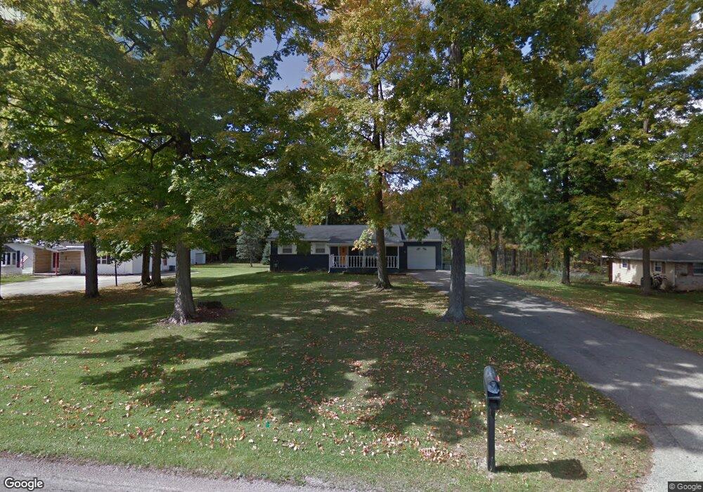
1013 Stewart Rd N Mansfield, OH 44905
Estimated Value: $190,000 - $239,000
3
Beds
2
Baths
1,232
Sq Ft
$169/Sq Ft
Est. Value
About This Home
This home is located at 1013 Stewart Rd N, Mansfield, OH 44905 and is currently estimated at $208,777, approximately $169 per square foot. 1013 Stewart Rd N is a home located in Richland County with nearby schools including Madison High School, Temple-Christian School, and St. Mary Catholic School.
Ownership History
Date
Name
Owned For
Owner Type
Purchase Details
Closed on
Mar 8, 2017
Sold by
Hayes Cathy
Bought by
Hayes Cathy and Hayes Randy D
Current Estimated Value
Purchase Details
Closed on
Feb 14, 2017
Sold by
Estate Of Bette Ann Clay
Bought by
Hayes Cathy
Purchase Details
Closed on
Jan 26, 2006
Sold by
Estate Of Charles Otis Clay
Bought by
Clay Bette Ann
Create a Home Valuation Report for This Property
The Home Valuation Report is an in-depth analysis detailing your home's value as well as a comparison with similar homes in the area
Home Values in the Area
Average Home Value in this Area
Purchase History
| Date | Buyer | Sale Price | Title Company |
|---|---|---|---|
| Hayes Cathy | -- | Attorney | |
| Hayes Cathy | -- | None Available | |
| Clay Bette Ann | -- | None Available |
Source: Public Records
Tax History Compared to Growth
Tax History
| Year | Tax Paid | Tax Assessment Tax Assessment Total Assessment is a certain percentage of the fair market value that is determined by local assessors to be the total taxable value of land and additions on the property. | Land | Improvement |
|---|---|---|---|---|
| 2024 | $2,418 | $49,850 | $9,510 | $40,340 |
| 2023 | $2,418 | $49,850 | $9,510 | $40,340 |
| 2022 | $2,029 | $37,160 | $8,370 | $28,790 |
| 2021 | $2,029 | $37,160 | $8,370 | $28,790 |
| 2020 | $2,273 | $37,160 | $8,370 | $28,790 |
| 2019 | $2,129 | $31,630 | $7,090 | $24,540 |
| 2018 | $1,324 | $31,630 | $7,090 | $24,540 |
| 2017 | $1,366 | $31,630 | $7,090 | $24,540 |
| 2016 | $1,286 | $30,680 | $6,740 | $23,940 |
| 2015 | $1,286 | $30,680 | $6,740 | $23,940 |
| 2014 | $1,613 | $30,680 | $6,740 | $23,940 |
| 2012 | $577 | $30,670 | $7,090 | $23,580 |
Source: Public Records
Map
Nearby Homes
- 1150 Delwood Dr
- 1158 Delwood Rd
- 1151 Beal Rd
- 1245 N Stewart Rd
- 735 Pennsylvania Ave
- 1199 Evergreen Ave W
- 1183 Evergreen Ave W
- 1106 Keller Dr Unit 1108
- 741 Yale Ave
- 683 Coachman Rd
- 671 Coachman Rd
- 1282 Redman Ave
- 1226 Evergreen Ave W
- 644 Skyline Rd
- 602 Champion Rd
- 632 Coachman Rd
- 588 Michigan Ave
- 0 Wesley
- 536 Gordon Rd
- 903 Mayflower Ave
- 1003 Stewart Rd N
- 1025 Stewart Rd N
- 995 Stewart Rd N
- 1012 Stewart Rd N
- 1004 Stewart Rd N
- 1024 Stewart Rd N
- 1047 Stewart Rd N
- 1049 Stewart Rd N
- 994 Stewart Rd N
- 983 Stewart Rd N
- 1046 Stewart Rd N
- 1057 Stewart Rd N Unit 1059
- 1007 Delwood Rd
- 984 Stewart Rd N
- 1007 Delwood Dr
- 975 Stewart Rd N
- 1019 Delwood Dr
- 995 Delwood Rd
- 995 Delwood Dr
- 972 Stewart Rd N