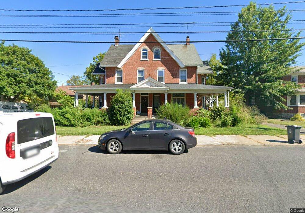
1013 W Broad St Quakertown, PA 18951
Estimated Value: $320,000 - $363,497
3
Beds
2
Baths
1,840
Sq Ft
$184/Sq Ft
Est. Value
About This Home
This home is located at 1013 W Broad St, Quakertown, PA 18951 and is currently estimated at $338,124, approximately $183 per square foot. 1013 W Broad St is a home located in Bucks County with nearby schools including Quakertown Elementary School, Strayer Middle School, and Quakertown Community Senior High School.
Ownership History
Date
Name
Owned For
Owner Type
Purchase Details
Closed on
Jan 20, 2005
Sold by
Pio Ernest M
Bought by
Pio Elizabeth A
Current Estimated Value
Purchase Details
Closed on
Jul 11, 1997
Sold by
Ettore Thomas A and Ettore Carol A
Bought by
Pio Ernest M and Pio Elizabeth A
Home Financials for this Owner
Home Financials are based on the most recent Mortgage that was taken out on this home.
Original Mortgage
$112,385
Outstanding Balance
$15,213
Interest Rate
6.87%
Estimated Equity
$322,911
Create a Home Valuation Report for This Property
The Home Valuation Report is an in-depth analysis detailing your home's value as well as a comparison with similar homes in the area
Home Values in the Area
Average Home Value in this Area
Purchase History
| Date | Buyer | Sale Price | Title Company |
|---|---|---|---|
| Pio Elizabeth A | -- | -- | |
| Pio Ernest M | $118,300 | -- |
Source: Public Records
Mortgage History
| Date | Status | Borrower | Loan Amount |
|---|---|---|---|
| Open | Pio Ernest M | $112,385 |
Source: Public Records
Tax History Compared to Growth
Tax History
| Year | Tax Paid | Tax Assessment Tax Assessment Total Assessment is a certain percentage of the fair market value that is determined by local assessors to be the total taxable value of land and additions on the property. | Land | Improvement |
|---|---|---|---|---|
| 2025 | $3,865 | $19,200 | $4,120 | $15,080 |
| 2024 | $3,865 | $19,200 | $4,120 | $15,080 |
| 2023 | $3,826 | $19,200 | $4,120 | $15,080 |
| 2022 | $3,761 | $19,200 | $4,120 | $15,080 |
| 2021 | $3,761 | $19,200 | $4,120 | $15,080 |
| 2020 | $3,761 | $19,200 | $4,120 | $15,080 |
| 2019 | $3,657 | $19,200 | $4,120 | $15,080 |
| 2018 | $3,530 | $19,200 | $4,120 | $15,080 |
| 2017 | $3,420 | $19,200 | $4,120 | $15,080 |
| 2016 | $3,420 | $19,200 | $4,120 | $15,080 |
| 2015 | -- | $19,200 | $4,120 | $15,080 |
| 2014 | -- | $19,200 | $4,120 | $15,080 |
Source: Public Records
Map
Nearby Homes
- 803 W Broad St
- 908 Juniper St
- 811 W Mill St
- 36 S Main St
- 27 S 7th St
- 232 S 10th St
- 318 S 10th St
- 405 Juniper St
- 89 Braithwaite Ln
- 94 Braithwaite Ln
- 306 Juniper St
- 1206 Arbor Ct
- 8 Fonthill Ct
- 56 Dewsbury Ln
- 12 Wagon Wheel Rd Unit 12
- 141 S 2nd St
- 48 Fonthill Ct
- 228 Prairie Ct Unit 228
- 34 N Ambler St
- 206 Yardley Ct
- 1011 W Broad St
- 1017 W Broad St
- 1007 W Broad St
- 903 W Broad St
- 1021 W Broad St
- 1089 W Broad St
- 1020 W Broad St
- 929 W Broad St
- 1101 W Broad St
- 1022 W Broad St
- 927 W Broad St
- 1025 W Broad St
- 13 S 11th St
- 1103 W Broad St
- 1100 W Broad St
- 923 W Broad St
- 1105 W Broad St
- 921 W Broad St Unit 921A
- 15 S 11th St
- 919B W Broad St Unit 919B