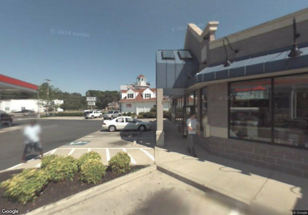
1013 W Isabella St Salisbury, MD 21801
Westside NeighborhoodEstimated Value: $2,606,525
--
Bed
--
Bath
3,879
Sq Ft
$672/Sq Ft
Est. Value
About This Home
This home is located at 1013 W Isabella St, Salisbury, MD 21801 and is currently estimated at $2,606,525, approximately $671 per square foot. 1013 W Isabella St is a home located in Wicomico County with nearby schools including Pinehurst Elementary School, Salisbury Middle School, and Parkside High School.
Ownership History
Date
Name
Owned For
Owner Type
Purchase Details
Closed on
Jan 19, 2013
Sold by
1013 West Isabella Street Llc
Bought by
Tony Tank Holdings Llc
Current Estimated Value
Home Financials for this Owner
Home Financials are based on the most recent Mortgage that was taken out on this home.
Original Mortgage
$6,867,500
Interest Rate
4.13%
Mortgage Type
Commercial
Purchase Details
Closed on
May 21, 2012
Sold by
Gordy William E
Bought by
1013 West Isabella Street Llc
Purchase Details
Closed on
Sep 8, 1992
Sold by
Exxon Corp
Bought by
Gordy William E
Home Financials for this Owner
Home Financials are based on the most recent Mortgage that was taken out on this home.
Original Mortgage
$514,000
Interest Rate
7.94%
Create a Home Valuation Report for This Property
The Home Valuation Report is an in-depth analysis detailing your home's value as well as a comparison with similar homes in the area
Home Values in the Area
Average Home Value in this Area
Purchase History
| Date | Buyer | Sale Price | Title Company |
|---|---|---|---|
| Tony Tank Holdings Llc | $1,383,200 | None Available | |
| 1013 West Isabella Street Llc | -- | None Available | |
| Gordy William E | $428,000 | -- |
Source: Public Records
Mortgage History
| Date | Status | Borrower | Loan Amount |
|---|---|---|---|
| Previous Owner | Tony Tank Holdings Llc | $6,867,500 | |
| Previous Owner | Gordy William E | $514,000 |
Source: Public Records
Tax History Compared to Growth
Tax History
| Year | Tax Paid | Tax Assessment Tax Assessment Total Assessment is a certain percentage of the fair market value that is determined by local assessors to be the total taxable value of land and additions on the property. | Land | Improvement |
|---|---|---|---|---|
| 2025 | $12,667 | $1,321,100 | $312,300 | $1,008,800 |
| 2024 | $12,667 | $1,321,100 | $312,300 | $1,008,800 |
| 2023 | $13,074 | $1,322,400 | $312,300 | $1,010,100 |
| 2022 | $13,468 | $1,321,733 | $0 | $0 |
| 2021 | $13,617 | $1,321,067 | $0 | $0 |
| 2020 | $13,617 | $1,320,400 | $312,300 | $1,008,100 |
| 2019 | $11,641 | $1,112,267 | $0 | $0 |
| 2018 | $18,579 | $904,133 | $0 | $0 |
| 2017 | $14,344 | $696,000 | $0 | $0 |
| 2016 | -- | $694,533 | $0 | $0 |
| 2015 | $11,858 | $693,067 | $0 | $0 |
| 2014 | $11,858 | $691,600 | $0 | $0 |
Source: Public Records
Map
Nearby Homes
- 1002 1 W Main St
- 317 Delaware Ave
- 0 Nanticoke Rd Unit MDWC2017130
- 346 Delaware Ave
- 0 Brick Kiln Rd Unit MDWC2019590
- 616 1 W Main St
- 665 West Rd
- 609 Germania Cir
- 1114 American Legion Rd
- 1116 American Legion Rd
- 1118 American Legion Rd
- 1115 Wintermead Loop
- 400 Lake St
- 735 N Westover Dr
- Lot 2a American Legion Rd
- 731 N Westover Dr
- Lot 2 Nanticoke Rd
- 1141 Wintermead Loop
- HANOVER Plan at Heritage Trace
- JEFFERSON Plan at Heritage Trace
- 1001 W Isabella St
- 949 W Isabella St
- 507 W Salisbury Pkwy
- 937 W Isabella St
- 940 W Isabella St
- 925 W Isabella St
- 1000 W Isabella St
- 936 W Isabella St
- 932 W Isabella St
- 305 Byrd St
- 928 W Isabella St
- 401 Byrd St
- 925 Boundary St
- 924 W Isabella St Unit 6000
- 924 W Isabella St
- 516 W Salisbury Pkwy
- 919 Boundary St
- 1019 W Isabella St
- 28772 Ocean Gateway
- 1006 W Main St