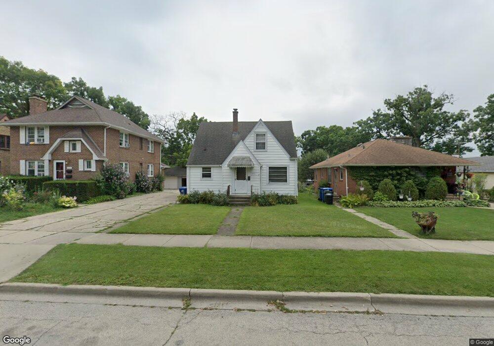
1013 W Keith Ave Waukegan, IL 60085
Marquette Highlands NeighborhoodEstimated Value: $214,000 - $228,501
3
Beds
2
Baths
1,173
Sq Ft
$190/Sq Ft
Est. Value
About This Home
This home is located at 1013 W Keith Ave, Waukegan, IL 60085 and is currently estimated at $222,625, approximately $189 per square foot. 1013 W Keith Ave is a home located in Lake County with nearby schools including Glen Flora Elementary School, Edith M Smith Middle School, and Waukegan High School.
Ownership History
Date
Name
Owned For
Owner Type
Purchase Details
Closed on
Jun 10, 1994
Sold by
Scheske William K and Scheske Jon K
Bought by
Rompella Michael D
Current Estimated Value
Home Financials for this Owner
Home Financials are based on the most recent Mortgage that was taken out on this home.
Original Mortgage
$70,000
Interest Rate
8.45%
Create a Home Valuation Report for This Property
The Home Valuation Report is an in-depth analysis detailing your home's value as well as a comparison with similar homes in the area
Home Values in the Area
Average Home Value in this Area
Purchase History
| Date | Buyer | Sale Price | Title Company |
|---|---|---|---|
| Rompella Michael D | $90,000 | -- |
Source: Public Records
Mortgage History
| Date | Status | Borrower | Loan Amount |
|---|---|---|---|
| Closed | Rompella Michael D | $70,000 |
Source: Public Records
Tax History Compared to Growth
Tax History
| Year | Tax Paid | Tax Assessment Tax Assessment Total Assessment is a certain percentage of the fair market value that is determined by local assessors to be the total taxable value of land and additions on the property. | Land | Improvement |
|---|---|---|---|---|
| 2024 | $3,308 | $56,643 | $9,069 | $47,574 |
| 2023 | $1,348 | $51,083 | $8,178 | $42,905 |
| 2022 | $1,348 | $47,169 | $6,806 | $40,363 |
| 2021 | $1,437 | $42,135 | $6,071 | $36,064 |
| 2020 | $1,563 | $39,254 | $5,656 | $33,598 |
| 2019 | $1,694 | $35,970 | $5,183 | $30,787 |
| 2018 | $1,895 | $32,240 | $7,335 | $24,905 |
| 2017 | $1,961 | $28,523 | $6,489 | $22,034 |
| 2016 | $2,130 | $24,786 | $5,639 | $19,147 |
| 2015 | $1,889 | $22,184 | $5,047 | $17,137 |
| 2014 | $2,060 | $22,330 | $5,585 | $16,745 |
| 2012 | $3,113 | $24,192 | $6,050 | $18,142 |
Source: Public Records
Map
Nearby Homes
- 1018 W Atlantic Ave
- 1905 Linden Ave
- 616 W Keith Ave
- 1312 N Linden Ave
- 1335 Chestnut St
- 1336 N Ash St
- 1504 W Glen Flora Ave
- 1105 Woodlawn Cir
- 1110 N Ash St
- 1117 Judge Ave
- 1000 Pine St
- 917 N Linden Ave
- 1038 Indiana Ave
- 2008 Harding Ave
- 918 N Ash St
- 2009 Harding Ave
- 1109 Massena Ave
- 1023 N Elmwood Ave
- 2232 Walnut St
- 824 N Butrick St
- 1017 W Keith Ave
- 1009 W Keith Ave
- 1621 N Linden Ave
- 1005 W Keith Ave
- 1010 W Atlantic Ave
- 1620 Walnut St
- 1000 W Atlantic Ave
- 1022 W Atlantic Ave
- 1600 Walnut St
- 1014 W Keith Ave
- 1620 N Linden Ave
- 1018 W Keith Ave
- 1006 W Keith Ave
- 1705 N Linden Ave
- 1102 W Atlantic Ave
- 1702 Walnut St
- 1623 Walnut St
- 1105 W Keith Ave
- 1603 Walnut St
- 1700 N Linden Ave