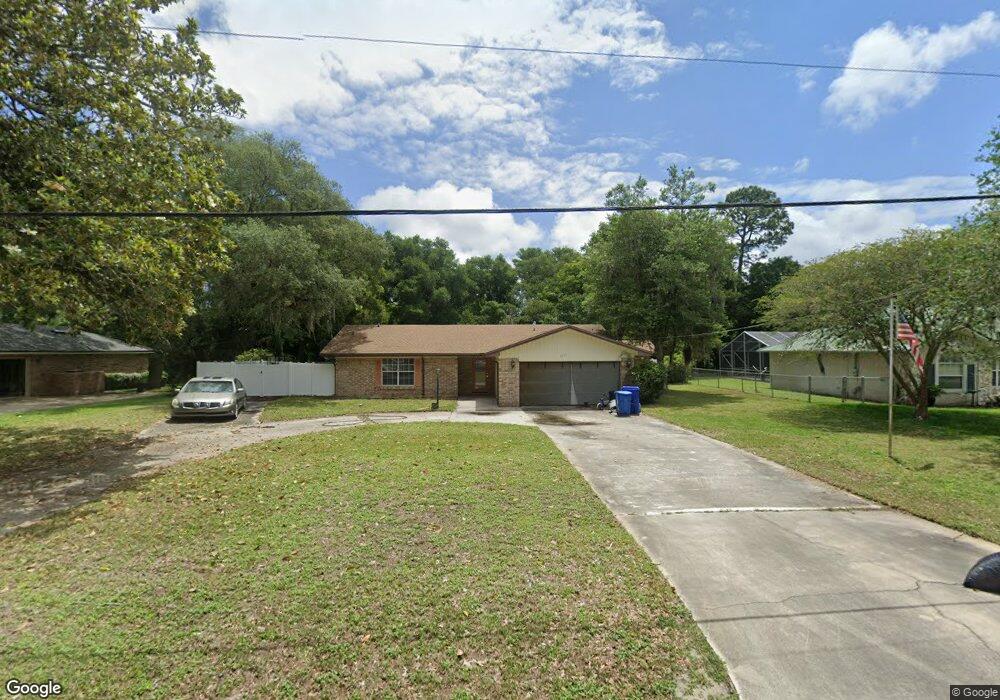
1013 Winterhawk Dr Saint Augustine, FL 32086
Wildwood NeighborhoodEstimated Value: $336,332 - $438,000
3
Beds
2
Baths
1,584
Sq Ft
$249/Sq Ft
Est. Value
About This Home
This home is located at 1013 Winterhawk Dr, Saint Augustine, FL 32086 and is currently estimated at $393,833, approximately $248 per square foot. 1013 Winterhawk Dr is a home located in St. Johns County with nearby schools including Otis A. Mason Elementary School, Gamble Rogers Middle School, and Pedro Menendez High School.
Ownership History
Date
Name
Owned For
Owner Type
Purchase Details
Closed on
Jun 27, 2024
Sold by
Heidi Eddins Jimmerson Revocable Trust and Heidi J Eddins Revocable Trust
Bought by
Eddins Brett Tyler
Current Estimated Value
Purchase Details
Closed on
Aug 31, 2021
Sold by
Planishek David E and Planishek Tina L
Bought by
Jimmerson Heidi Eddins and Jimmerson Heidi Eddins
Purchase Details
Closed on
Jun 19, 2003
Sold by
Gay Robert L
Bought by
Planishek David E and Planishek Tina L
Home Financials for this Owner
Home Financials are based on the most recent Mortgage that was taken out on this home.
Original Mortgage
$150,000
Interest Rate
5.29%
Mortgage Type
Purchase Money Mortgage
Create a Home Valuation Report for This Property
The Home Valuation Report is an in-depth analysis detailing your home's value as well as a comparison with similar homes in the area
Home Values in the Area
Average Home Value in this Area
Purchase History
| Date | Buyer | Sale Price | Title Company |
|---|---|---|---|
| Eddins Brett Tyler | $100 | None Listed On Document | |
| Eddins Brett Tyler | $100 | None Listed On Document | |
| Jimmerson Heidi Eddins | $275,000 | Estate Ttl Of St Augustine I | |
| Planishek David E | $168,000 | Gulf Coast Title Closings & |
Source: Public Records
Mortgage History
| Date | Status | Borrower | Loan Amount |
|---|---|---|---|
| Previous Owner | Planishek David E | $150,000 |
Source: Public Records
Tax History
| Year | Tax Paid | Tax Assessment Tax Assessment Total Assessment is a certain percentage of the fair market value that is determined by local assessors to be the total taxable value of land and additions on the property. | Land | Improvement |
|---|---|---|---|---|
| 2025 | $4,073 | $320,507 | $93,000 | $227,507 |
| 2024 | $4,073 | $317,600 | $78,300 | $239,300 |
| 2023 | $4,073 | $309,834 | $78,300 | $231,534 |
| 2022 | $3,658 | $267,415 | $72,800 | $194,615 |
| 2021 | $1,462 | $132,597 | $0 | $0 |
| 2020 | $1,454 | $130,766 | $0 | $0 |
| 2019 | $1,470 | $127,826 | $0 | $0 |
| 2018 | $1,444 | $125,443 | $0 | $0 |
| 2017 | $1,435 | $122,863 | $0 | $0 |
| 2016 | $1,430 | $123,946 | $0 | $0 |
Source: Public Records
Map
Nearby Homes
- 436 Gianna Way
- 3577 Red Cloud Trail
- 976 Deer Chase Dr
- 865 Wildwood Dr
- 324 N Shadowwood Dr
- 4024 White Pine Ln
- 3649 Lone Wolf Trail
- 3641 Lone Wolf Trail
- 3640 Fort Peyton Cir
- 4041 Pine Run Cir
- 4040 Red Pine Ln
- 209 Saranac Ln
- 0 Carter Rd
- 728 Willow Wood Place
- 53 Monroe Ave
- 115 Sierras Loop
- 115 Sierras Loop
- 85 Amia Dr
- 563 Seville Pkwy
- 545 Ray Edwards Rd
- 1007 Winterhawk Dr
- 1019 Winterhawk Dr
- 1025 Winterhawk Dr
- 933 Delcie Dr
- 955 Wildwood Dr
- 929 Delcie Dr
- 1019 Cheyenne Dr
- 1031 Winterhawk Dr
- 1010 Winterhawk Dr
- 1020 Winterhawk Dr
- 1031 Cheyenne Dr
- 936 Delcie Dr
- 925 Delcie Dr
- 1030 Winterhawk Dr
- 0 Delcie Dr
- 920 Delcie Dr
- 1001 Cheyenne Dr
- 932 Delcie Dr
- 921 Delcie Dr
- 928 Delcie Dr
Your Personal Tour Guide
Ask me questions while you tour the home.