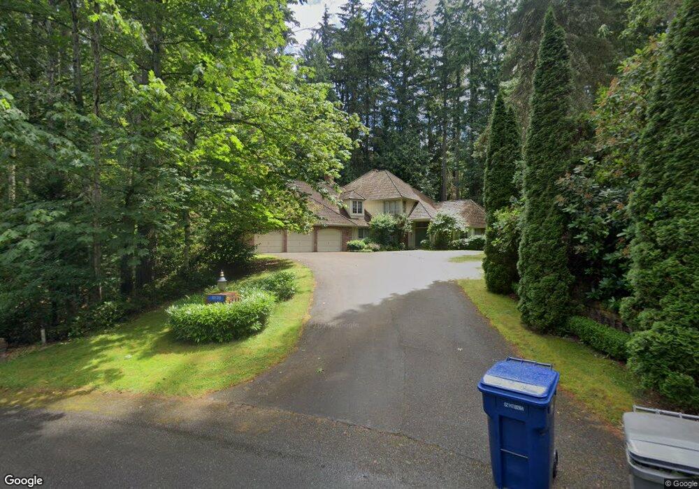
10130 215th Ct NE Redmond, WA 98053
Union Hill-Novelty Hill NeighborhoodEstimated Value: $2,125,000 - $2,516,000
4
Beds
3
Baths
3,590
Sq Ft
$635/Sq Ft
Est. Value
About This Home
This home is located at 10130 215th Ct NE, Redmond, WA 98053 and is currently estimated at $2,277,967, approximately $634 per square foot. 10130 215th Ct NE is a home located in King County with nearby schools including Laura Ingalls Wilder Elementary School, Timberline Middle School, and Redmond High School.
Ownership History
Date
Name
Owned For
Owner Type
Purchase Details
Closed on
Oct 17, 2012
Sold by
Banbury Margart Brooke and Banbury Brooke
Bought by
Banbury Margaret Brooke
Current Estimated Value
Home Financials for this Owner
Home Financials are based on the most recent Mortgage that was taken out on this home.
Original Mortgage
$260,000
Outstanding Balance
$112,511
Interest Rate
3.36%
Mortgage Type
New Conventional
Estimated Equity
$2,165,456
Purchase Details
Closed on
Apr 18, 2000
Sold by
Masland Andrew T
Bought by
Banbury Brooke and Banbury Masland Brooke
Purchase Details
Closed on
May 10, 1995
Sold by
Debell Jeffery S and Debell Gail S
Bought by
Masland Andrew T and Banbury Masland Brooke
Home Financials for this Owner
Home Financials are based on the most recent Mortgage that was taken out on this home.
Original Mortgage
$350,000
Interest Rate
8.47%
Create a Home Valuation Report for This Property
The Home Valuation Report is an in-depth analysis detailing your home's value as well as a comparison with similar homes in the area
Home Values in the Area
Average Home Value in this Area
Purchase History
| Date | Buyer | Sale Price | Title Company |
|---|---|---|---|
| Banbury Margaret Brooke | -- | First American | |
| Banbury Brooke | -- | -- | |
| Masland Andrew T | $455,000 | Transamerica Title Ins Co |
Source: Public Records
Mortgage History
| Date | Status | Borrower | Loan Amount |
|---|---|---|---|
| Open | Banbury Margaret Brooke | $260,000 | |
| Closed | Masland Andrew T | $350,000 |
Source: Public Records
Tax History Compared to Growth
Tax History
| Year | Tax Paid | Tax Assessment Tax Assessment Total Assessment is a certain percentage of the fair market value that is determined by local assessors to be the total taxable value of land and additions on the property. | Land | Improvement |
|---|---|---|---|---|
| 2024 | $17,263 | $1,868,000 | $537,000 | $1,331,000 |
| 2023 | $16,670 | $1,595,000 | $404,000 | $1,191,000 |
| 2022 | $13,550 | $1,931,000 | $497,000 | $1,434,000 |
| 2021 | $12,689 | $1,334,000 | $344,000 | $990,000 |
| 2020 | $11,734 | $1,137,000 | $306,000 | $831,000 |
| 2018 | $12,146 | $1,020,000 | $297,000 | $723,000 |
| 2017 | $10,831 | $1,017,000 | $336,000 | $681,000 |
| 2016 | $10,445 | $931,000 | $308,000 | $623,000 |
| 2015 | $10,183 | $876,000 | $290,000 | $586,000 |
| 2014 | -- | $831,000 | $279,000 | $552,000 |
| 2013 | -- | $725,000 | $244,000 | $481,000 |
Source: Public Records
Map
Nearby Homes
- 21710 NE 97th Place
- 10500 221st Ln NE Unit 202
- 10630 221st Ln NE Unit 204
- 9907 223rd Place NE
- 10129 224th Ave NE
- 10769 221st Ln NE Unit 18
- 10790 221st Ln NE Unit 28
- 9120 209th Ave NE
- 20904 NE 91st St
- 22824 NE 100th Place
- 9405 226th Place NE
- 8425 213th Place NE
- 21416 NE 81st St
- 9141 229th Place NE
- 21825 NE 81st St
- 8818 230th Way NE
- 9920 197th Ct NE
- 22119 NE 78th St
- 0 NE Union Hill Rd Unit NWM2005307
- 19711 NE Union Hill Rd
- 10131 215th Ct NE
- 21618 NE 102nd St
- 21512 NE 101st St
- 21524 NE 101st St
- 10136 215th Ct NE
- 10131 214th Ave NE
- 10100 214th Ave NE
- 10201 217th Ct NE
- 10207 217th Ct NE
- 21609 NE 102nd St
- 10126 214th Ave NE
- 21517 NE 101st St
- 21529 NE 101st St
- 21425 NE 103rd St
- 21501 NE 101st St
- 10020 216th Ave NE
- 21701 NE 102nd St
- 10325 216th Ct NE
- 10220 214th Ave NE
- 23055 NE 102nd St Unit C