10130 Liberty Rd Unit B Randallstown, MD 21133
Estimated Value: $587,328 - $682,000
4
Beds
3
Baths
1,990
Sq Ft
$314/Sq Ft
Est. Value
About This Home
This home is located at 10130 Liberty Rd Unit B, Randallstown, MD 21133 and is currently estimated at $624,582, approximately $313 per square foot. 10130 Liberty Rd Unit B is a home located in Baltimore County with nearby schools including New Town Elementary School, Deer Park Middle Magnet School, and New Town High.
Ownership History
Date
Name
Owned For
Owner Type
Purchase Details
Closed on
Aug 18, 2004
Sold by
Walker Chad R
Bought by
Luckie Charles O and Luckie Onteria M
Current Estimated Value
Purchase Details
Closed on
Aug 6, 2004
Sold by
Walker Chad R
Bought by
Luckie Charles O and Luckie Onteria M
Purchase Details
Closed on
Nov 12, 2003
Sold by
Miller Dahl M
Bought by
Walker Chad R and Walker Jennifer
Purchase Details
Closed on
Nov 7, 2001
Sold by
Miller Dahl M Dorothy B
Bought by
Miller Dahl M and Miller Dorothy B
Create a Home Valuation Report for This Property
The Home Valuation Report is an in-depth analysis detailing your home's value as well as a comparison with similar homes in the area
Home Values in the Area
Average Home Value in this Area
Purchase History
| Date | Buyer | Sale Price | Title Company |
|---|---|---|---|
| Luckie Charles O | $399,000 | -- | |
| Luckie Charles O | $399,000 | -- | |
| Luckie Charles O | $399,000 | -- | |
| Luckie Charles O | $399,000 | -- | |
| Walker Chad R | $289,900 | -- | |
| Miller Dahl M | -- | -- |
Source: Public Records
Tax History Compared to Growth
Tax History
| Year | Tax Paid | Tax Assessment Tax Assessment Total Assessment is a certain percentage of the fair market value that is determined by local assessors to be the total taxable value of land and additions on the property. | Land | Improvement |
|---|---|---|---|---|
| 2025 | $4,665 | $486,633 | -- | -- |
| 2024 | $4,665 | $443,500 | $139,700 | $303,800 |
| 2023 | $2,249 | $417,733 | $0 | $0 |
| 2022 | $4,278 | $391,967 | $0 | $0 |
| 2021 | $3,978 | $366,200 | $139,700 | $226,500 |
| 2020 | $3,978 | $346,767 | $0 | $0 |
| 2019 | $3,820 | $327,333 | $0 | $0 |
| 2018 | $3,668 | $307,900 | $109,000 | $198,900 |
| 2017 | $3,494 | $293,167 | $0 | $0 |
| 2016 | $3,480 | $278,433 | $0 | $0 |
| 2015 | $3,480 | $263,700 | $0 | $0 |
| 2014 | $3,480 | $263,700 | $0 | $0 |
Source: Public Records
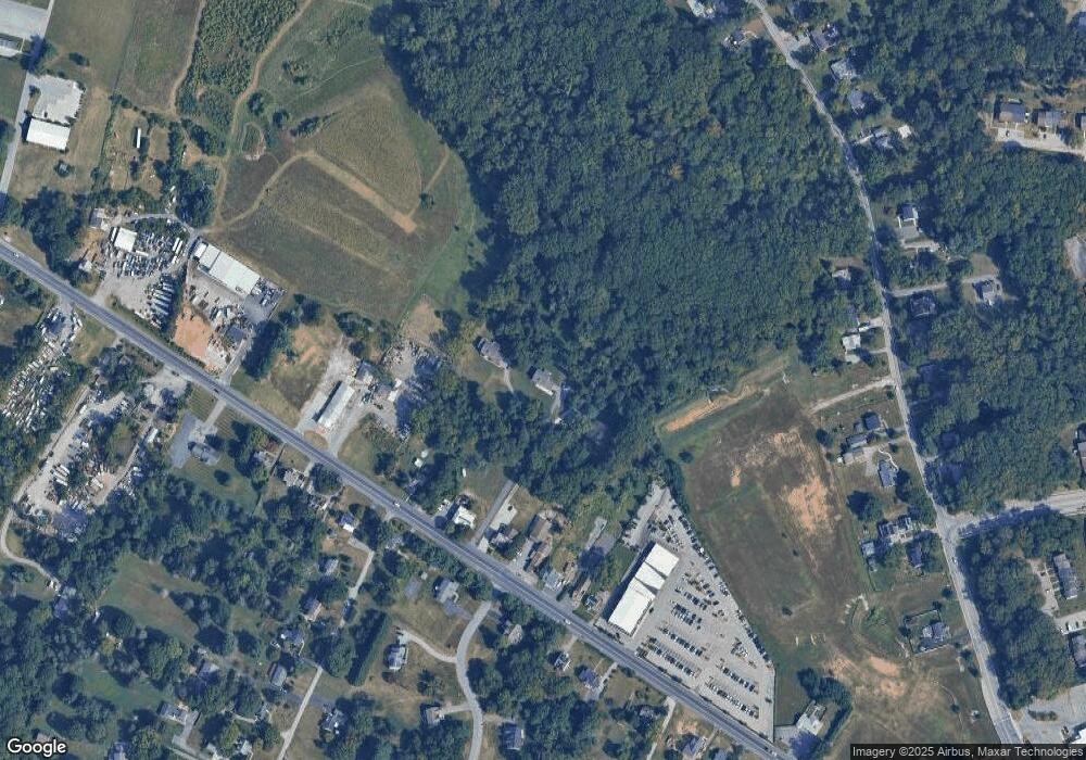
Map
Nearby Homes
- 9998 Tuscarora Rd
- 4264 Cayuga Rd
- 17 Bannock Ct
- 38 Millstone Rd
- 30 Sheraton Rd
- 3827 Rayton Rd
- 4615 Deer Park Rd
- 3900 Falls Run Rd
- 3903 Innerdale Ct
- 4129 Holbrook Rd
- 9831 Endora Ct
- 3618 Granite Rd
- 4133 Holbrook Rd
- 10301 Marriottsville Rd
- 3903 Red Deer Cir
- 4107 Holbrook Rd
- 10520 Marriottsville Rd
- 10702 Liberty Rd
- 9816 Bon Haven Ln
- 9903 Bon Haven Ln
- 10130 Liberty Rd Unit A
- 10130 Liberty Rd
- 10130A Liberty Rd
- 10128 Liberty Rd
- 10142 Liberty Rd
- 10206 Liberty Rd Unit B
- 10234 Liberty Rd
- 10132 Liberty Rd
- 10126 Liberty Rd
- 10202 Liberty Rd
- 6315 Windy Hill Rd
- 10124 Liberty Rd
- 10141 Liberty Rd
- 10116 Liberty Rd
- 10201 Liberty Rd
- 10114 Liberty Rd
- 10203 Liberty Rd
- 4411 Travancore Ct
- 10205 Liberty Rd
- 10100 Liberty Rd