10130 N 20th West Ave Sperry, OK 74073
Estimated Value: $498,000 - $629,000
3
Beds
2
Baths
1,484
Sq Ft
$366/Sq Ft
Est. Value
About This Home
This home is located at 10130 N 20th West Ave, Sperry, OK 74073 and is currently estimated at $543,667, approximately $366 per square foot. 10130 N 20th West Ave is a home located in Osage County with nearby schools including Sperry Elementary School, Sperry Middle School, and Sperry High School.
Ownership History
Date
Name
Owned For
Owner Type
Purchase Details
Closed on
Dec 18, 2023
Sold by
Larry E And Loretta J Barnett Revocable
Bought by
Haynes Johnny Paul and Haynes Patsy L
Current Estimated Value
Home Financials for this Owner
Home Financials are based on the most recent Mortgage that was taken out on this home.
Original Mortgage
$458,541
Outstanding Balance
$450,152
Interest Rate
7.5%
Mortgage Type
FHA
Estimated Equity
$93,515
Purchase Details
Closed on
Jun 9, 2010
Sold by
Barnett Larry and Barnett Lavetta
Bought by
The Larry E Barnett Revocable Livin
Purchase Details
Closed on
Apr 30, 1999
Sold by
Cooper Keith Edward and Cooper Cheryl A
Bought by
Barnett Larry and Barnett Loretta
Purchase Details
Closed on
Jun 28, 1994
Sold by
Avant Properties Inc
Bought by
Cooper Keith Edward and Cooper Cheryl A
Purchase Details
Closed on
May 25, 1994
Sold by
Avant Jack E and Avant Sara J
Bought by
Avant Properties Inc
Create a Home Valuation Report for This Property
The Home Valuation Report is an in-depth analysis detailing your home's value as well as a comparison with similar homes in the area
Home Values in the Area
Average Home Value in this Area
Purchase History
| Date | Buyer | Sale Price | Title Company |
|---|---|---|---|
| Haynes Johnny Paul | $467,000 | Community Title Services | |
| The Larry E Barnett Revocable Livin | -- | None Available | |
| Barnett Larry | $138,000 | -- | |
| Cooper Keith Edward | $98,000 | -- | |
| Avant Properties Inc | -- | -- |
Source: Public Records
Mortgage History
| Date | Status | Borrower | Loan Amount |
|---|---|---|---|
| Open | Haynes Johnny Paul | $458,541 |
Source: Public Records
Tax History Compared to Growth
Tax History
| Year | Tax Paid | Tax Assessment Tax Assessment Total Assessment is a certain percentage of the fair market value that is determined by local assessors to be the total taxable value of land and additions on the property. | Land | Improvement |
|---|---|---|---|---|
| 2025 | $5,789 | $58,842 | $18,393 | $40,449 |
| 2024 | $5,508 | $56,040 | $12,000 | $44,040 |
| 2023 | $5,508 | $35,290 | $2,688 | $32,602 |
| 2022 | $3,452 | $34,154 | $2,688 | $31,466 |
| 2021 | $3,319 | $34,154 | $2,688 | $31,466 |
| 2020 | $3,046 | $32,299 | $2,688 | $29,611 |
| 2019 | $3,086 | $32,299 | $2,688 | $29,611 |
| 2018 | $3,084 | $32,299 | $2,688 | $29,611 |
| 2017 | $2,992 | $32,299 | $2,688 | $29,611 |
| 2016 | $2,978 | $32,303 | $2,688 | $29,615 |
| 2015 | $2,889 | $31,975 | $2,688 | $29,287 |
| 2014 | $2,818 | $31,044 | $2,688 | $28,356 |
| 2013 | $2,827 | $30,140 | $2,688 | $27,452 |
Source: Public Records
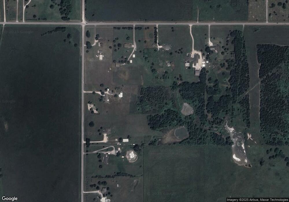
Map
Nearby Homes
- 4812 E 76th
- 2744 W 103rd St N
- 10739 N 25th West Ave
- 10044 N 30th West Ave
- 6146 W 108th St N
- 0 N 36th West Ave
- 9858 N 38 Ave W
- 1819 W Oak Knoll
- 9026 Crestwood Dr
- 202 W Ada St
- 299 W Cherry
- 0 Sunset Unit 2544339
- 0 Sunset Unit 2544356
- 9545 S Cincinnati St
- 308 S Cincinnati Ave
- 10201 N Cincinnati Ave
- 2781 W 88th St N
- 9084 N Osage Dr
- 109 N Coal St
- 2012 W 88th St N
- 0 N 20th Ave W
- 03 N 20th Ave W
- 02 N 20th Ave W
- 01 N 20th Ave W
- 8990 N 20th Ave W
- 10149 N 20th West Ave
- 10032 N 20th West Ave
- 10020 N 20th West Ave
- 1980 W 103rd St N
- 9980 N 20th West Ave
- 1750 W 103rd St N
- 9893 N 20th West Ave
- 9889 N 20th West Ave
- 2306 W 103rd St N
- 2199 W 103rd St N
- 4950 W 103rd St N
- 2201 W 103rd St N
- 9851 N 20th West Ave W
- 1698 W 103rd St N
- null W 103rd St N