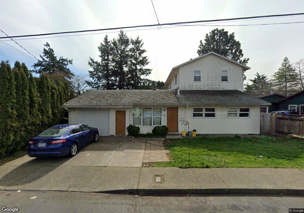
10130 SE Long St Portland, OR 97266
Lents NeighborhoodEstimated Value: $480,000 - $548,000
4
Beds
3
Baths
2,531
Sq Ft
$208/Sq Ft
Est. Value
About This Home
This home is located at 10130 SE Long St, Portland, OR 97266 and is currently estimated at $525,776, approximately $207 per square foot. 10130 SE Long St is a home located in Multnomah County with nearby schools including Lent K-5 and Franklin High School.
Ownership History
Date
Name
Owned For
Owner Type
Purchase Details
Closed on
Nov 17, 2015
Sold by
Meyers Michele Y
Bought by
Sam Darrell
Current Estimated Value
Home Financials for this Owner
Home Financials are based on the most recent Mortgage that was taken out on this home.
Original Mortgage
$299,475
Interest Rate
3.9%
Mortgage Type
FHA
Purchase Details
Closed on
Aug 10, 1995
Sold by
Montgomery David R
Bought by
Meyers Michele Y and Meyers Dominic C
Home Financials for this Owner
Home Financials are based on the most recent Mortgage that was taken out on this home.
Original Mortgage
$92,485
Interest Rate
7.63%
Mortgage Type
FHA
Create a Home Valuation Report for This Property
The Home Valuation Report is an in-depth analysis detailing your home's value as well as a comparison with similar homes in the area
Home Values in the Area
Average Home Value in this Area
Purchase History
| Date | Buyer | Sale Price | Title Company |
|---|---|---|---|
| Sam Darrell | $305,000 | First American | |
| Meyers Michele Y | $92,900 | Ticor Title Insurance |
Source: Public Records
Mortgage History
| Date | Status | Borrower | Loan Amount |
|---|---|---|---|
| Previous Owner | Sam Darrell | $299,475 | |
| Previous Owner | Meyers Michele Y | $92,485 |
Source: Public Records
Tax History Compared to Growth
Tax History
| Year | Tax Paid | Tax Assessment Tax Assessment Total Assessment is a certain percentage of the fair market value that is determined by local assessors to be the total taxable value of land and additions on the property. | Land | Improvement |
|---|---|---|---|---|
| 2024 | $8,037 | $300,370 | -- | -- |
| 2023 | $7,728 | $291,630 | $0 | $0 |
| 2022 | $7,561 | $283,140 | $0 | $0 |
| 2021 | $7,433 | $274,900 | $0 | $0 |
| 2020 | $6,819 | $266,900 | $0 | $0 |
| 2019 | $6,568 | $259,130 | $0 | $0 |
| 2018 | $6,375 | $251,590 | $0 | $0 |
| 2017 | $6,110 | $244,270 | $0 | $0 |
| 2016 | $5,592 | $237,160 | $0 | $0 |
| 2015 | $5,445 | $230,260 | $0 | $0 |
| 2014 | $4,661 | $223,560 | $0 | $0 |
Source: Public Records
Map
Nearby Homes
- 00 SE Liebe St
- 11870 SE Pardee St
- 4412 SE 101st Ave
- 5004 SE 99th Ave
- 4533 SE 99th Ave
- 9913 SE Steele St
- 0 SE Liebe St Unit 512290337
- 4401 SE 99th Ave
- 9757 SE Holgate Blvd
- 10538 SE Holgate Blvd
- 9628 SE Holgate Blvd
- 4027 SE 102nd Ave
- 5401 SE 97th Ave
- 5405 SE 97th Ave
- 9842 SE Harold St
- 5104 SE 109th Ave
- 9828 SE Ellis St
- 4915 SE 111th Ave
- 10971 SE Holgate Blvd
- 10985 SE Holgate Blvd
- 10120 SE Long St
- 10138 SE Long St
- 10146 SE Long St
- 10104 SE Long St
- 10133 SE Long St
- 10121 SE Long St
- 10132 SE Schiller St
- 10120 SE Schiller St
- 10224 SE Schiller St
- 10156 SE Schiller St
- 10204 SE Long St
- 10048 SE Long St
- 10142 SE Schiller St
- 10151 SE Long St
- 10115 SE Long St
- 10106 SE Schiller St
- 10156 SE Schiller St
- 10105 SE Long St
- 10203 SE Long St
- 10222 SE Long St