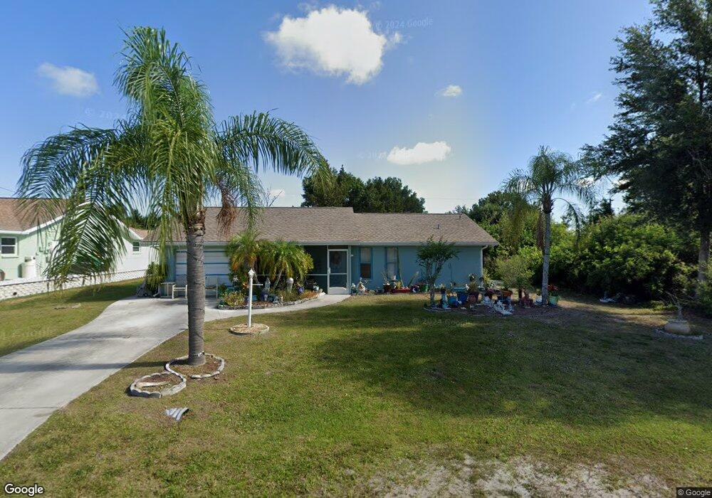
10132 Melanie Ave Englewood, FL 34224
Englewood East NeighborhoodEstimated Value: $190,000 - $247,000
2
Beds
2
Baths
978
Sq Ft
$221/Sq Ft
Est. Value
About This Home
This home is located at 10132 Melanie Ave, Englewood, FL 34224 and is currently estimated at $216,609, approximately $221 per square foot. 10132 Melanie Ave is a home located in Charlotte County with nearby schools including Vineland Elementary School, L.A. Ainger Middle School, and Lemon Bay High School.
Ownership History
Date
Name
Owned For
Owner Type
Purchase Details
Closed on
Jan 24, 2025
Sold by
Pilkins Tammie Ann and Pilkins Joseph Franklin
Bought by
Tuley Tammie
Current Estimated Value
Home Financials for this Owner
Home Financials are based on the most recent Mortgage that was taken out on this home.
Original Mortgage
$160,000
Outstanding Balance
$158,868
Interest Rate
6%
Mortgage Type
New Conventional
Estimated Equity
$57,741
Purchase Details
Closed on
Sep 28, 2015
Sold by
Hoak Joseph F and Hoak Catherine
Bought by
Hoak Joseph Franklin and Hoak Catherine
Create a Home Valuation Report for This Property
The Home Valuation Report is an in-depth analysis detailing your home's value as well as a comparison with similar homes in the area
Home Values in the Area
Average Home Value in this Area
Purchase History
| Date | Buyer | Sale Price | Title Company |
|---|---|---|---|
| Tuley Tammie | $200,000 | None Listed On Document | |
| Hoak Joseph Franklin | $2,642 | Attorney |
Source: Public Records
Mortgage History
| Date | Status | Borrower | Loan Amount |
|---|---|---|---|
| Open | Tuley Tammie | $160,000 |
Source: Public Records
Tax History Compared to Growth
Tax History
| Year | Tax Paid | Tax Assessment Tax Assessment Total Assessment is a certain percentage of the fair market value that is determined by local assessors to be the total taxable value of land and additions on the property. | Land | Improvement |
|---|---|---|---|---|
| 2024 | $1,217 | $62,497 | -- | -- |
| 2023 | $1,217 | $60,687 | $0 | $0 |
| 2022 | $1,174 | $59,433 | $0 | $0 |
| 2021 | $1,157 | $57,702 | $0 | $0 |
| 2020 | $1,054 | $56,905 | $0 | $0 |
| 2019 | $986 | $55,626 | $0 | $0 |
| 2018 | $852 | $54,589 | $0 | $0 |
| 2017 | $845 | $53,466 | $0 | $0 |
| 2016 | $841 | $52,366 | $0 | $0 |
| 2015 | $816 | $52,002 | $0 | $0 |
| 2014 | $810 | $51,589 | $0 | $0 |
Source: Public Records
Map
Nearby Homes
- 10177 Melanie Ave
- 10075 Bentley Ave
- 10115 Bentley Ave
- 7116 Quigley St
- 7127 Beardsley St
- 10107 Amelia Ave
- 10163 Castanet Ave Unit 10
- 10189 Winstead Ave
- 10214 Castanet Ave
- 6991 Strawberry St
- 6382 Spinnaker Blvd
- 6984 Halifax St
- 10133 Burlington Ave
- 7007 Beardsley St
- 7030 Spinnaker Blvd
- 10185 & 10187 Burlington Ave
- 7268 Beardsley St
- 7221 and 7229 Spinnaker Blvd
- 10270 Castanet Ave
- 7145 Mamouth St
- 10124 Melanie Ave
- 10131 Amelia Ave
- 10140 Melanie Ave
- 10123 Amelia Ave
- 10131 Melanie Ave
- 10147 Melanie Ave
- 10123 Melanie Ave
- 7117 Strawberry St
- 10108 Melanie Ave
- 10132 Bay Ave
- 10162 Melanie Ave
- 10140 Amelia Ave
- 10124 Amelia Ave
- 10140 Bay Ave
- 10100 Melanie Ave
- 10148 Amelia Ave
- 10116 Bay Ave
- 10161 Melanie Ave
- 7116 Strawberry St
- 10099 Melanie Ave