10133 Dyer Rd Sanger, TX 76266
Estimated Value: $432,000 - $786,000
3
Beds
2
Baths
2,158
Sq Ft
$284/Sq Ft
Est. Value
About This Home
This home is located at 10133 Dyer Rd, Sanger, TX 76266 and is currently estimated at $612,068, approximately $283 per square foot. 10133 Dyer Rd is a home located in Denton County with nearby schools including Chisholm Trail Elementary School, Clear Creek Intermediate School, and Sanger Sixth Grade Campus.
Ownership History
Date
Name
Owned For
Owner Type
Purchase Details
Closed on
Nov 17, 2016
Sold by
Brown Gary W and Brown Jackie S
Bought by
Ruiz Duran Jose Serafin
Current Estimated Value
Home Financials for this Owner
Home Financials are based on the most recent Mortgage that was taken out on this home.
Original Mortgage
$158,904
Outstanding Balance
$135,235
Interest Rate
5.5%
Mortgage Type
Construction
Estimated Equity
$476,833
Create a Home Valuation Report for This Property
The Home Valuation Report is an in-depth analysis detailing your home's value as well as a comparison with similar homes in the area
Home Values in the Area
Average Home Value in this Area
Purchase History
| Date | Buyer | Sale Price | Title Company |
|---|---|---|---|
| Ruiz Duran Jose Serafin | -- | None Available |
Source: Public Records
Mortgage History
| Date | Status | Borrower | Loan Amount |
|---|---|---|---|
| Open | Ruiz Duran Jose Serafin | $158,904 |
Source: Public Records
Tax History
| Year | Tax Paid | Tax Assessment Tax Assessment Total Assessment is a certain percentage of the fair market value that is determined by local assessors to be the total taxable value of land and additions on the property. | Land | Improvement |
|---|---|---|---|---|
| 2025 | $2,500 | $151,692 | $66,286 | $85,406 |
| 2024 | $2,500 | $184,175 | $0 | $0 |
| 2023 | $2,757 | $202,026 | $66,728 | $135,298 |
| 2022 | $2,390 | $144,099 | $43,103 | $100,996 |
| 2021 | $1,740 | $119,264 | $21,893 | $97,371 |
| 2020 | $1,540 | $98,029 | $16,174 | $81,855 |
| 2019 | $1,663 | $101,608 | $16,304 | $85,304 |
| 2018 | $1,624 | $98,510 | $16,369 | $82,141 |
| 2017 | $3,298 | $198,630 | $119,440 | $79,190 |
| 2016 | $1,552 | $93,443 | $5,301 | $88,142 |
| 2015 | $1,124 | $90,291 | $5,373 | $84,918 |
| 2013 | -- | $78,141 | $5,085 | $73,056 |
Source: Public Records
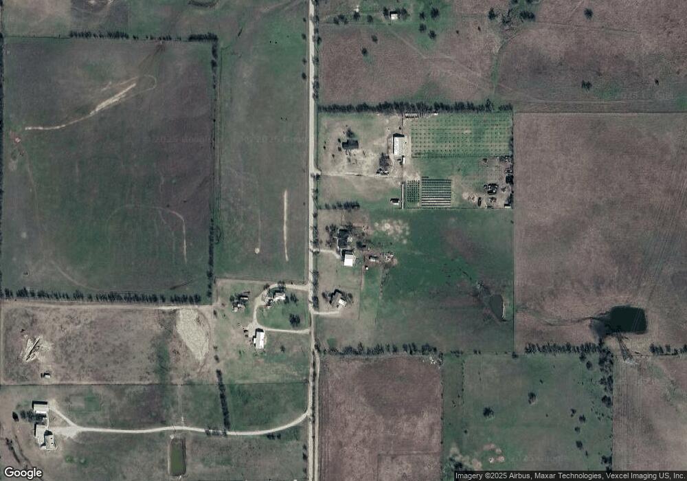
Map
Nearby Homes
- 10455 Fm 455 W
- 10350 W Clear Creek Rd
- 10902 Clear Creek Rd W
- 9494 Waide Rd
- 7872 Jane Long Rd
- 11007 Farm To Market Road 2450
- 7675 Michael Rd
- 12142 Fm 2450
- 6958 Michael Rd
- 7140 Davidson Rd
- 14158 Crest View Rd
- 13257 W Fm 455
- 6210 Deer Run Rd
- 6221 Deer Run Rd
- 6810 Hunnington Dr
- 8875 Fm 2450
- 7221 Christina Ct
- 12480 Doyle Rd
- 7239 Christina Ct
- 7220 Christina Ct
- 10164 Dyer Rd
- TBD Dyer Rd
- 10493 Dyer Rd
- 10001 Fm W 455 Rd
- 10340 Dyer Rd
- 10689 Dyer Rd
- 10200 Fm 455 W
- 10400 Dyer Rd
- 10300 Fm 455 W
- 10300 Farm To Market 455 W
- 10314 Fm 455 W
- 10455 Fm 455 W Unit LAND
- 9377 Fm 455 W
- 10543 Fm 455 W
- 10571 Fm 455 W
- 10035 Forester Rd
- 10713 Fm 455 W
- 10130 Forester Rd
- 9037 Fm 455 W
- 9347 Boom Branch Rd
Your Personal Tour Guide
Ask me questions while you tour the home.