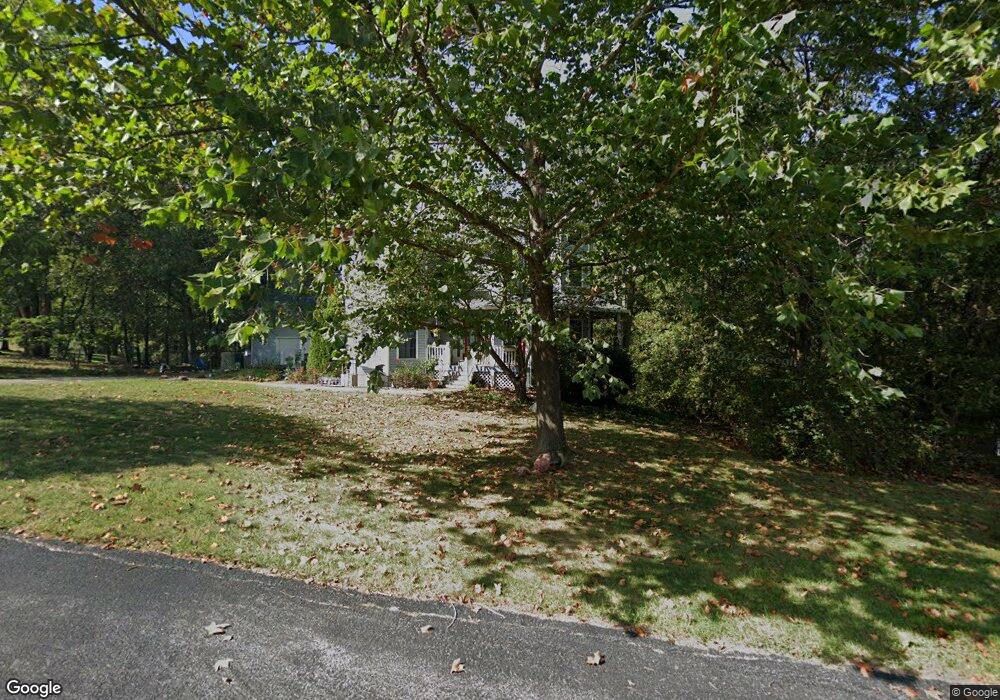
10137 Manassas Dr Festus, MO 63028
Estimated Value: $376,000 - $617,000
Studio
--
Bath
1,670
Sq Ft
$294/Sq Ft
Est. Value
About This Home
This home is located at 10137 Manassas Dr, Festus, MO 63028 and is currently estimated at $491,389, approximately $294 per square foot. 10137 Manassas Dr is a home located in Jefferson County with nearby schools including Hillsboro Primary School, Hillsboro Elementary School, and Hillsboro Middle Elementary School.
Ownership History
Date
Name
Owned For
Owner Type
Purchase Details
Closed on
Apr 13, 2001
Sold by
Rudolph Daniel G and Rudolph Michelle L
Bought by
Rudolph Daniel G and Rudolph Michelle L
Current Estimated Value
Home Financials for this Owner
Home Financials are based on the most recent Mortgage that was taken out on this home.
Original Mortgage
$252,000
Outstanding Balance
$91,142
Interest Rate
6.93%
Estimated Equity
$400,247
Purchase Details
Closed on
Aug 17, 1998
Sold by
Johnston Arch M and Johnston Evelyn I
Bought by
Rudolph Md Major Daniel G and Rudolph Michelle L
Create a Home Valuation Report for This Property
The Home Valuation Report is an in-depth analysis detailing your home's value as well as a comparison with similar homes in the area
Purchase History
| Date | Buyer | Sale Price | Title Company |
|---|---|---|---|
| Rudolph Daniel G | -- | -- | |
| Rudolph Md Major Daniel G | -- | -- |
Source: Public Records
Mortgage History
| Date | Status | Borrower | Loan Amount |
|---|---|---|---|
| Open | Rudolph Daniel G | $252,000 |
Source: Public Records
Tax History
| Year | Tax Paid | Tax Assessment Tax Assessment Total Assessment is a certain percentage of the fair market value that is determined by local assessors to be the total taxable value of land and additions on the property. | Land | Improvement |
|---|---|---|---|---|
| 2025 | $3,314 | $61,100 | $5,700 | $55,400 |
| 2024 | $3,314 | $53,300 | $3,300 | $50,000 |
| 2023 | $3,314 | $53,300 | $3,300 | $50,000 |
| 2022 | $3,370 | $53,300 | $3,300 | $50,000 |
| 2021 | $3,602 | $53,300 | $3,300 | $50,000 |
| 2020 | $3,373 | $48,400 | $3,000 | $45,400 |
| 2019 | $3,372 | $48,400 | $3,000 | $45,400 |
| 2018 | $3,372 | $48,400 | $3,000 | $45,400 |
| 2017 | $3,203 | $48,400 | $3,000 | $45,400 |
| 2016 | $3,017 | $44,800 | $3,000 | $41,800 |
| 2015 | $2,734 | $44,800 | $3,000 | $41,800 |
| 2013 | $2,734 | $43,700 | $2,800 | $40,900 |
Source: Public Records
Map
Nearby Homes
- 10290 Woodland Rd
- 0 Hwy A 62 Acres Unit 20012897
- 131 Blue Ridge Trace
- 3532 Ketha Heights
- 2310 Peterein Ct
- 0 Bailey School Rd
- 3582 Jarvis Rd
- 1102 Stone Henge Ct
- 1829 Belmont Ct
- 301 Meadow Chase Dr
- 1816 Belmont Ct
- 1011 Watering Stone Ct
- 716 Rosemary Ln
- 0
- 0 Tbb Birchwood Overlook - Maple
- 9406 Peace Meadows
- 0 Tbb Birchwood Overlook-Dogwood Unit MAR24022693
- 1522 Louisiana Dr
- 1512 Louisiana Dr
- 9213 Church Dr
- 10131 Manassas Dr
- 10114 Manassas Dr
- 2843 Johnston Ridge
- 10132 Manassas Dr
- 10125 Manassas Dr
- 10119 Manassas Dr
- 2842 Johnston Ridge
- 2836 Johnston Ridge
- 10113 Manassas Dr
- 2855 Johnston Ridge
- 14 Appomattox Ridge
- 8 Appomattox Ridge
- 2848 Johnston Ridge
- 2830 Johnston Ridge
- 2 Appomattox Ridge
- 2854 Johnston Ridge
- 2824 Johnston Ridge
- 2815 Johnston Ridge
- 17 Appomattox Ridge
- 10 Appomattox Ridge
Your Personal Tour Guide
Ask me questions while you tour the home.