10137 S 6000 W Payson, UT 84651
Estimated Value: $955,056 - $1,251,000
3
Beds
2
Baths
2,256
Sq Ft
$489/Sq Ft
Est. Value
About This Home
This home is located at 10137 S 6000 W, Payson, UT 84651 and is currently estimated at $1,103,028, approximately $488 per square foot. 10137 S 6000 W is a home located in Utah County with nearby schools including Taylor Elementary School, Salem Junior High School, and Valley View Middle School.
Ownership History
Date
Name
Owned For
Owner Type
Purchase Details
Closed on
Mar 7, 2011
Sold by
Brinkerhoff Earnest C and Earnest C Brinkerhoff Trust
Bought by
Evans Samuel B and Evans Lanita B
Current Estimated Value
Purchase Details
Closed on
Jul 23, 2009
Sold by
Moriah Real Estate Company Llc
Bought by
Kennedy Joseph E and Kennedy Brenna C
Purchase Details
Closed on
Jul 3, 2007
Sold by
Moriah Real Estate Co Llc
Bought by
Bridges Kent S and Bridges Debra M
Create a Home Valuation Report for This Property
The Home Valuation Report is an in-depth analysis detailing your home's value as well as a comparison with similar homes in the area
Purchase History
| Date | Buyer | Sale Price | Title Company |
|---|---|---|---|
| Evans Samuel B | -- | Provo Land Title Company | |
| Kennedy Joseph E | -- | Republic Title Company | |
| Bridges Kent S | -- | Old Republic Title Company |
Source: Public Records
Tax History
| Year | Tax Paid | Tax Assessment Tax Assessment Total Assessment is a certain percentage of the fair market value that is determined by local assessors to be the total taxable value of land and additions on the property. | Land | Improvement |
|---|---|---|---|---|
| 2025 | $2,281 | $244,510 | -- | -- |
| 2024 | $2,281 | $228,033 | $0 | $0 |
| 2023 | $2,259 | $225,953 | $0 | $0 |
| 2022 | $2,188 | $742,500 | $476,700 | $265,800 |
| 2021 | $1,914 | $537,500 | $336,000 | $201,500 |
| 2020 | $1,622 | $489,000 | $287,500 | $201,500 |
| 2019 | $1,475 | $420,600 | $236,500 | $184,100 |
| 2018 | $1,392 | $378,900 | $216,500 | $162,400 |
| 2017 | $1,234 | $95,979 | $0 | $0 |
Source: Public Records
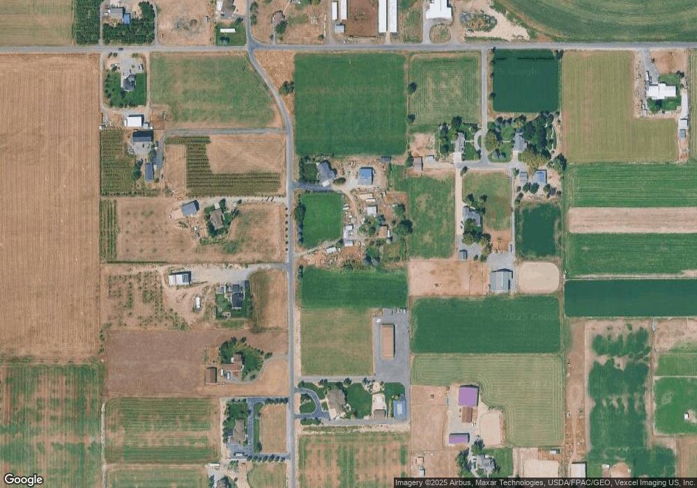
Map
Nearby Homes
- 10336 S 6000 W
- 5132 W 10400 S
- 10900 S 5200 W
- 9054 S 6200 W
- 5746 W 11300 S
- 4050 W 9600 S
- 5635 W 11300 S
- 11363 S 5600 West St
- 11433 S 5600 W
- 11508 S 5825 W
- 841 N Dryland Cir Unit BALLAR
- 841 N Dryland Cir Unit DREXEL
- 841 N Dryland Cir Unit HILDAL
- 841 N Dryland Cir Unit WINDSR
- 841 N Dryland Cir Unit WAKEFI
- 841 N Dryland Cir Unit LUCAS
- 841 N Dryland Cir Unit AUBREY
- 841 N Dryland Cir Unit COLUMB
- 841 N Dryland Cir Unit HARMON
- 841 N Dryland Cir Unit CALDWL
Your Personal Tour Guide
Ask me questions while you tour the home.