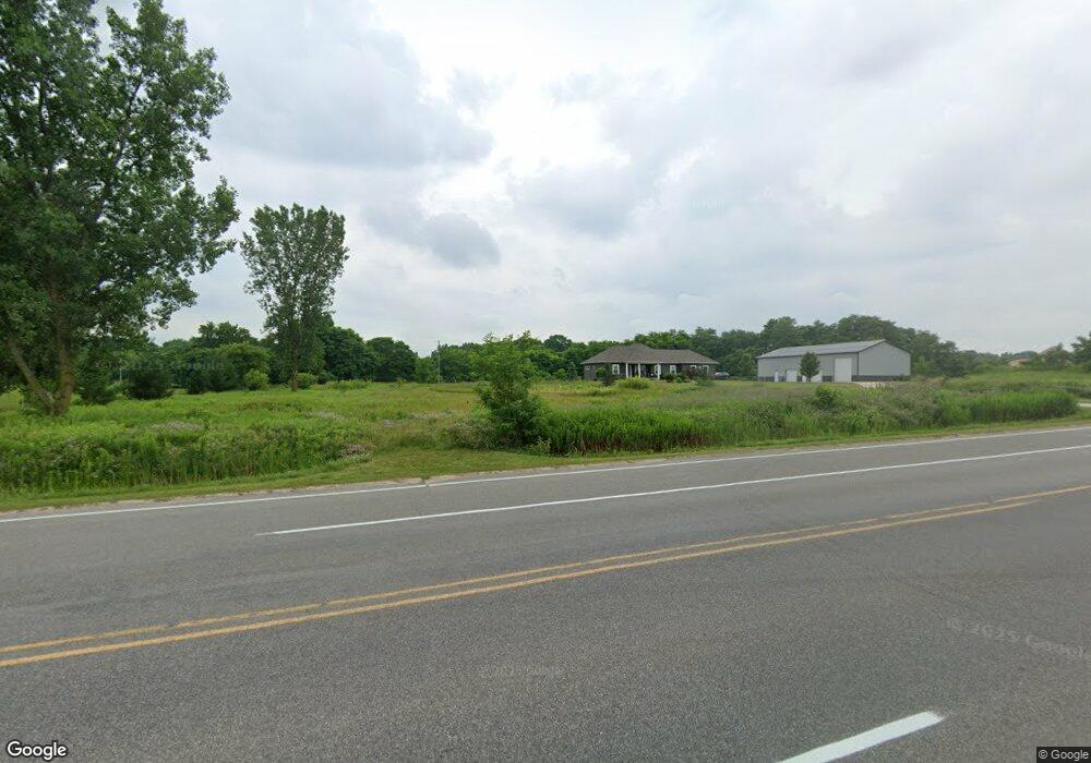
10139 Finkbeiner Rd Middleville, MI 49333
Estimated Value: $583,000 - $757,492
5
Beds
4
Baths
2,504
Sq Ft
$274/Sq Ft
Est. Value
About This Home
This home is located at 10139 Finkbeiner Rd, Middleville, MI 49333 and is currently estimated at $687,123, approximately $274 per square foot. 10139 Finkbeiner Rd is a home located in Barry County with nearby schools including McFall Elementary School, Page Elementary School, and Lee Elementary School.
Ownership History
Date
Name
Owned For
Owner Type
Purchase Details
Closed on
Dec 7, 2011
Sold by
Bolczok David and Bolczok Nicole
Bought by
Bolczok David and Bolczok Nicole
Current Estimated Value
Home Financials for this Owner
Home Financials are based on the most recent Mortgage that was taken out on this home.
Original Mortgage
$262,541
Outstanding Balance
$180,096
Interest Rate
4.22%
Mortgage Type
New Conventional
Estimated Equity
$507,027
Purchase Details
Closed on
Oct 13, 2011
Sold by
Fannie Mae
Bought by
Balczak David
Home Financials for this Owner
Home Financials are based on the most recent Mortgage that was taken out on this home.
Original Mortgage
$262,541
Outstanding Balance
$180,096
Interest Rate
4.22%
Mortgage Type
New Conventional
Estimated Equity
$507,027
Create a Home Valuation Report for This Property
The Home Valuation Report is an in-depth analysis detailing your home's value as well as a comparison with similar homes in the area
Home Values in the Area
Average Home Value in this Area
Purchase History
| Date | Buyer | Sale Price | Title Company |
|---|---|---|---|
| Bolczok David | -- | None Available | |
| Balczak David | $271,900 | Etitle Agency Inc |
Source: Public Records
Mortgage History
| Date | Status | Borrower | Loan Amount |
|---|---|---|---|
| Open | Balczak David | $262,541 |
Source: Public Records
Tax History Compared to Growth
Tax History
| Year | Tax Paid | Tax Assessment Tax Assessment Total Assessment is a certain percentage of the fair market value that is determined by local assessors to be the total taxable value of land and additions on the property. | Land | Improvement |
|---|---|---|---|---|
| 2025 | $6,642 | $402,800 | $0 | $0 |
| 2024 | $6,642 | $370,700 | $0 | $0 |
| 2023 | $6,052 | $282,400 | $0 | $0 |
| 2022 | $6,052 | $282,400 | $0 | $0 |
| 2021 | $6,052 | $261,400 | $0 | $0 |
| 2020 | $5,955 | $251,400 | $0 | $0 |
| 2019 | $5,955 | $248,000 | $0 | $0 |
| 2018 | $5,752 | $215,300 | $26,800 | $188,500 |
| 2017 | $5,752 | $215,300 | $0 | $0 |
| 2016 | -- | $194,900 | $0 | $0 |
| 2015 | -- | $170,900 | $0 | $0 |
| 2014 | -- | $170,900 | $0 | $0 |
Source: Public Records
Map
Nearby Homes
- 5156 Ravine Dr
- 451 Oak View Dr
- 5325 Stimson Rd
- 379 Minstehr Dr
- 886 Oak Wind Ct
- Wilshire Plan at Seneca Ridge
- Remington Plan at Seneca Ridge
- Linden Plan at Seneca Ridge
- Enclave Plan at Seneca Ridge
- Croswell Plan at Seneca Ridge
- Cascade Plan at Seneca Ridge
- Carson Plan at Seneca Ridge
- Avery Plan at Seneca Ridge
- Ashton Plan at Seneca Ridge
- Andover Plan at Seneca Ridge
- 313 Seneca Ridge Dr Unit 45
- 343 Seneca Ridge Dr Unit 40
- 319 Seneca Ridge Dr Unit 44
- 210 Meadowlark Ct
- 5645 Stimson Rd
- 4701 Hemlock Ct Unit 11
- 10330 Mulberry Dr Unit 31
- 10318 Mulberry Dr Unit 30
- 4677 Hemlock Ct Unit 12
- 4676 Hemlock Ct
- 4703 Red Bud Ct N Unit 5
- 10306 Mulberry Dr Unit 29
- 4679 Redbud Ct
- 4653 Hemlock Ct Unit 13
- 4679 Red Bud Ct N Unit 6
- 10317 Mulberry Dr Unit 36
- 10329 Mulberry Dr Unit 35
- 4638 Hemlock Ct Unit 9
- 4714 Red Bud Ct N
- 4625 Hemlock Ct Unit 14
- 10303 Mulberry Dr Unit 37
- 10341 Mulberry Dr Unit 34
- 4645 Red Bud Ct N Unit 7
- 10154 Mulberry Dr
- 4681 Red Bud Ct N Unit 3