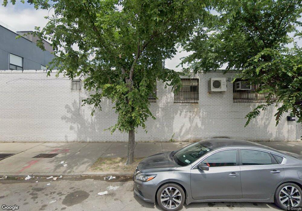
1014-1036 Stanley Ave Brooklyn, NY 11208
East New York NeighborhoodEstimated Value: $4,981,306
Studio
--
Bath
35,500
Sq Ft
$140/Sq Ft
Est. Value
About This Home
This home is located at 1014-1036 Stanley Ave, Brooklyn, NY 11208 and is currently estimated at $4,981,306, approximately $140 per square foot. 1014-1036 Stanley Ave is a home located in Kings County with nearby schools including P.S. 224 Hale A Woodruff, Van Siclen Community Middle School, and Achievement First Aspire Charter.
Ownership History
Date
Name
Owned For
Owner Type
Purchase Details
Closed on
Sep 12, 2014
Sold by
Atlantic Pork & Provisions Inc
Bought by
Stanley Avenue Realty Llc
Current Estimated Value
Home Financials for this Owner
Home Financials are based on the most recent Mortgage that was taken out on this home.
Original Mortgage
$2,161,000
Outstanding Balance
$1,651,939
Interest Rate
4.1%
Mortgage Type
Commercial
Estimated Equity
$3,329,367
Create a Home Valuation Report for This Property
The Home Valuation Report is an in-depth analysis detailing your home's value as well as a comparison with similar homes in the area
Home Values in the Area
Average Home Value in this Area
Purchase History
| Date | Buyer | Sale Price | Title Company |
|---|---|---|---|
| Stanley Avenue Realty Llc | $3,200,000 | -- |
Source: Public Records
Mortgage History
| Date | Status | Borrower | Loan Amount |
|---|---|---|---|
| Open | Stanley Avenue Realty Llc | $2,161,000 | |
| Closed | Stanley Avenue Realty Llc | $1,728,800 |
Source: Public Records
Tax History
| Year | Tax Paid | Tax Assessment Tax Assessment Total Assessment is a certain percentage of the fair market value that is determined by local assessors to be the total taxable value of land and additions on the property. | Land | Improvement |
|---|---|---|---|---|
| 2025 | $110,266 | $1,318,050 | $360,000 | $958,050 |
| 2024 | $110,266 | $1,261,350 | $360,000 | $901,350 |
| 2023 | $64,930 | $1,116,450 | $360,000 | $756,450 |
| 2022 | $98,895 | $990,000 | $360,000 | $630,000 |
| 2021 | $94,764 | $895,050 | $360,000 | $535,050 |
| 2020 | $47,584 | $925,650 | $360,000 | $565,650 |
| 2019 | $88,437 | $925,650 | $360,000 | $565,650 |
| 2018 | $83,356 | $844,650 | $360,000 | $484,650 |
| 2017 | $79,978 | $823,050 | $360,000 | $463,050 |
| 2016 | $78,198 | $859,050 | $324,000 | $535,050 |
| 2015 | $30,881 | $753,300 | $324,000 | $429,300 |
| 2014 | $30,881 | $684,000 | $324,000 | $360,000 |
Source: Public Records
Map
Nearby Homes
- 878 Euclid Ave
- 864 Euclid Ave
- 865 Euclid Ave
- 517 Milford St
- 958 Crescent St
- 1000 Crescent St
- 1008 Crescent St
- 964 Hemlock St
- 983 Crescent St
- 479 Milford St
- 477 Milford St
- 706 Cozine Ave
- 461 Milford St
- 1011 Hemlock St
- 956 Hegeman Ave
- 963 Hegeman Ave
- 12681 Flatlands Ave
- 727 Euclid Ave
- 658 Pine St
- 12697 Flatlands Ave Unit 12699
- 1010 Stanley Ave
- 852-882 Logan St
- 625-647 Wortman Ave
- 1038-1060 Stanley Ave
- 593 Milford St
- 604-614 Stanley Ave
- 1001-1011 Stanley Ave
- 591 Milford St
- 865 Logan St
- 594 Milford St
- 601-623 Wortman Ave
- 585 Milford St
- 590 Milford St
- 586 Milford St
- 579 Milford St
- 579 Milford St
- 600 Fountain Ave
- 561 Montauk Ave
- 582 Milford St
- 577 Milford St
Your Personal Tour Guide
Ask me questions while you tour the home.