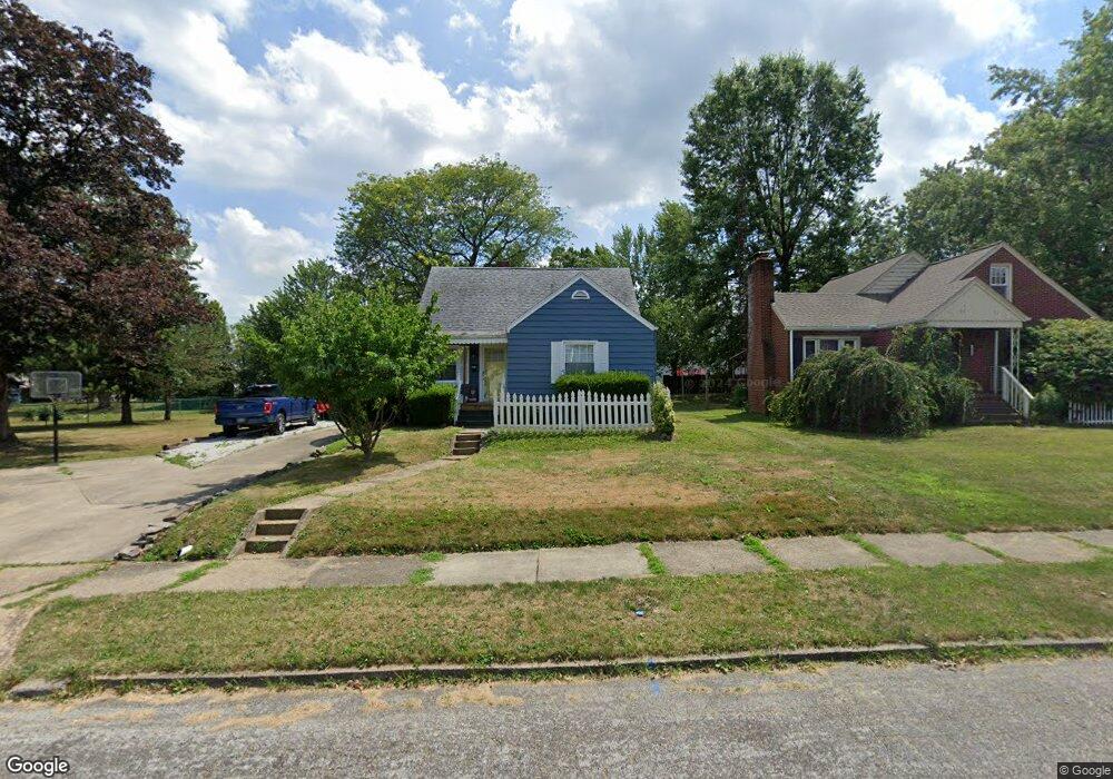
1014 Cornell Dr Alliance, OH 44601
Estimated Value: $143,850 - $183,000
About This Home
This home is located at 1014 Cornell Dr, Alliance, OH 44601 and is currently estimated at $168,463, approximately $114 per square foot. 1014 Cornell Dr is a home located in Stark County with nearby schools including Alliance Early Learning School, Alliance Intermediate School at Northside, and Alliance Middle School.
Ownership History
We collect this data history from publicly available records. To have your information removed, we recommend requesting removal directly through your county’s website.
Purchase Details
Purchase Details
Home Financials for this Owner
Home Financials are based on the most recent Mortgage that was taken out on this home.Purchase Details
Purchase Details
Home Values in the Area
Average Home Value in this Area
Purchase History
We collect this data history from publicly available records. To have your information removed, we recommend requesting removal directly through your county’s website.
| Date | Buyer | Sale Price | Title Company |
|---|---|---|---|
| -- | -- | ||
| $96,000 | -- | ||
| $62,700 | -- | ||
| $64,500 | -- |
Mortgage History
We collect this data history from publicly available records. To have your information removed, we recommend requesting removal directly through your county’s website.
| Date | Status | Borrower | Loan Amount |
|---|---|---|---|
| Open | $79,677 |
Tax History
We collect this data history from publicly available records. To have your information removed, we recommend requesting removal directly through your county’s website.
| Year | Tax Paid | Tax Assessment Tax Assessment Total Assessment is a certain percentage of the fair market value that is determined by local assessors to be the total taxable value of land and additions on the property. | Land | Improvement |
|---|---|---|---|---|
| 2025 | -- | $35,740 | $9,100 | $26,640 |
| 2024 | -- | $35,740 | $9,100 | $26,640 |
| 2023 | $1,325 | $32,980 | $8,020 | $24,960 |
| 2022 | $1,334 | $32,980 | $8,020 | $24,960 |
| 2021 | $1,335 | $32,980 | $8,020 | $24,960 |
| 2020 | $1,243 | $28,670 | $6,970 | $21,700 |
| 2019 | $1,225 | $28,680 | $6,970 | $21,710 |
| 2018 | $1,231 | $28,680 | $6,970 | $21,710 |
| 2017 | $1,080 | $24,750 | $5,810 | $18,940 |
| 2016 | $1,365 | $31,020 | $5,810 | $25,210 |
| 2015 | $1,437 | $31,020 | $5,810 | $25,210 |
| 2014 | $1,282 | $27,490 | $5,150 | $22,340 |
| 2013 | $639 | $27,490 | $5,150 | $22,340 |
Map
- 1495 Fairview Place
- 1052 Parkside Dr
- 1540 Lilly Ln
- 1539 Parkway Blvd
- 1073 Parkside Dr
- 1733 Parkway Blvd
- 1042 Kingsway St
- 1810 Parkway Blvd
- 705 Overlook Dr
- 1134 Glamorgan St
- 870 Parkway Blvd
- 1319 Glamorgan St
- 2031 Ridgewood Ave
- 0 Northview Ave Unit 5207308
- 2144 Ridgewood Ave
- 2360 Burton Ave
- 645 W Summit St
- 870 S Haines Ave
- 2245 Shunk Ave
- 2435 Eastern Ave
- 1037 Cornell Dr
- 1027 Cornell Dr
- 1034 Glenwood Dr
- 1045 Cornell Dr
- 1048 Glenwood Dr
- 1015 Cornell Dr
- 1022 Glenwood Dr
- 1065 Cornell Dr
- 1042 Cornell Dr
- 1014 Glenwood Dr
- 1062 Glenwood Dr
- 1022 Cornell Dr
- 1054 Cornell Dr
- 1003 Cornell Dr
- 1008 Glenwood Dr
- 1075 Cornell Dr
- 1066 Cornell Dr
- 1076 Glenwood Dr
- 989 Cornell Dr
- 1055 Glenwood Dr
Ask me questions while you tour the home.