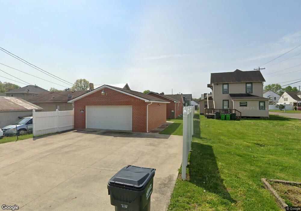
1014 Denman Ave Coshocton, OH 43812
Estimated Value: $106,000 - $144,322
2
Beds
1
Bath
960
Sq Ft
$133/Sq Ft
Est. Value
About This Home
This home is located at 1014 Denman Ave, Coshocton, OH 43812 and is currently estimated at $128,081, approximately $133 per square foot. 1014 Denman Ave is a home located in Coshocton County with nearby schools including Coshocton High School and Coshocton Christian School.
Ownership History
Date
Name
Owned For
Owner Type
Purchase Details
Closed on
Feb 3, 2025
Sold by
Lindig Loren B
Bought by
Lindig John P
Current Estimated Value
Purchase Details
Closed on
May 26, 2004
Bought by
Lindig Loren B
Purchase Details
Closed on
Feb 23, 1998
Sold by
Mccabe David H
Bought by
Mason Truck Sales, Inc
Purchase Details
Closed on
Oct 2, 1996
Sold by
Nelson Willetta F
Bought by
Mccabe David H
Create a Home Valuation Report for This Property
The Home Valuation Report is an in-depth analysis detailing your home's value as well as a comparison with similar homes in the area
Home Values in the Area
Average Home Value in this Area
Purchase History
| Date | Buyer | Sale Price | Title Company |
|---|---|---|---|
| Lindig John P | -- | Fidelity National Title | |
| Lindig John P | -- | Fidelity National Title | |
| Lindig Loren B | $72,000 | -- | |
| Lindig Loren B Jlrs | $72,000 | -- | |
| Mason Truck Sales, Inc | $55,000 | -- | |
| Mccabe David H | $55,000 | -- |
Source: Public Records
Tax History
| Year | Tax Paid | Tax Assessment Tax Assessment Total Assessment is a certain percentage of the fair market value that is determined by local assessors to be the total taxable value of land and additions on the property. | Land | Improvement |
|---|---|---|---|---|
| 2024 | $963 | $33,090 | $4,060 | $29,030 |
| 2023 | $963 | $28,088 | $2,839 | $25,249 |
| 2022 | $923 | $28,088 | $2,839 | $25,249 |
| 2021 | $925 | $28,088 | $2,839 | $25,249 |
| 2020 | $956 | $28,113 | $2,902 | $25,211 |
| 2019 | $967 | $28,113 | $2,902 | $25,211 |
| 2018 | $915 | $28,113 | $2,902 | $25,211 |
| 2017 | $903 | $26,170 | $2,709 | $23,461 |
| 2016 | $863 | $26,170 | $2,709 | $23,461 |
| 2015 | $731 | $26,170 | $2,709 | $23,461 |
| 2014 | $731 | $24,630 | $2,709 | $21,921 |
Source: Public Records
Map
Nearby Homes
- 1215 Denman Ave
- 1336 S 13th St
- Lot 8 Country Club Dr
- Lot# 7, S 12th St
- 849 S Lawn Ave
- Lot 7 Country Club Dr
- Lot 2 Country Club Dr
- Lot 1 Country Club Dr
- Lot 5 Country Club Dr
- Lot 4 Country Club Dr
- Lot 3 Country Club Dr
- Lot 6 Country Club Dr
- 380 S 10th St
- 597 S 12th St
- 510 S 8th St
- 731 S 6th St
- 333 S 9th St
- 433 S 7th St
- 885 Sheridan Rd
- 216 S 7th St
- 1018 Denman Ave
- 1010 Denman Ave
- 1013 Denman Ave
- 1015 Denman Ave
- 1030 Denman Ave
- 1007 Denman Ave
- 1017 Denman Ave
- 1027 Denman Ave
- 1034 Denman Ave
- 1034 Denman Ave
- 923 Denman Ave
- 902 Fair St
- 1029 Denman Ave
- 919 Denman Ave
- 0 Linden Ave
- 1045 Denman Ave
- 915 Denman Ave
- 1010 Cassingham Ave
- 1020 Cassingham Ave
- 1022 Cassingham Ave
Your Personal Tour Guide
Ask me questions while you tour the home.