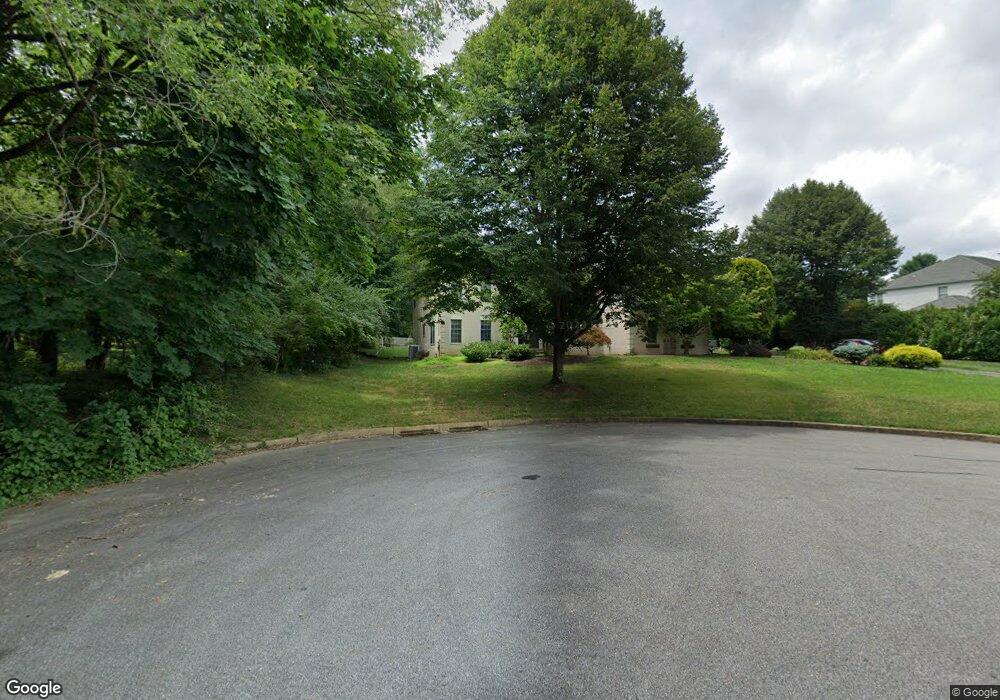
1014 Fairbrook Dr West Chester, PA 19380
Estimated Value: $913,000 - $1,043,000
4
Beds
3
Baths
3,542
Sq Ft
$273/Sq Ft
Est. Value
About This Home
This home is located at 1014 Fairbrook Dr, West Chester, PA 19380 and is currently estimated at $965,803, approximately $272 per square foot. 1014 Fairbrook Dr is a home located in Chester County with nearby schools including Hillsdale Elementary School, E.N. Peirce Middle School, and Henderson High School.
Ownership History
Date
Name
Owned For
Owner Type
Purchase Details
Closed on
Nov 20, 2003
Sold by
Rafferty Robert S and Rafferty Dana M
Bought by
Kristoff Craig W and Kristoff Kimberly C
Current Estimated Value
Home Financials for this Owner
Home Financials are based on the most recent Mortgage that was taken out on this home.
Original Mortgage
$360,000
Outstanding Balance
$167,940
Interest Rate
6.09%
Mortgage Type
Purchase Money Mortgage
Estimated Equity
$797,863
Create a Home Valuation Report for This Property
The Home Valuation Report is an in-depth analysis detailing your home's value as well as a comparison with similar homes in the area
Home Values in the Area
Average Home Value in this Area
Purchase History
| Date | Buyer | Sale Price | Title Company |
|---|---|---|---|
| Kristoff Craig W | $480,000 | -- |
Source: Public Records
Mortgage History
| Date | Status | Borrower | Loan Amount |
|---|---|---|---|
| Open | Kristoff Craig W | $360,000 |
Source: Public Records
Tax History Compared to Growth
Tax History
| Year | Tax Paid | Tax Assessment Tax Assessment Total Assessment is a certain percentage of the fair market value that is determined by local assessors to be the total taxable value of land and additions on the property. | Land | Improvement |
|---|---|---|---|---|
| 2025 | $8,932 | $308,130 | $54,210 | $253,920 |
| 2024 | $8,932 | $308,130 | $54,210 | $253,920 |
| 2023 | $8,932 | $308,130 | $54,210 | $253,920 |
| 2022 | $8,816 | $308,130 | $54,210 | $253,920 |
| 2021 | $8,693 | $308,130 | $54,210 | $253,920 |
| 2020 | $8,637 | $308,130 | $54,210 | $253,920 |
| 2019 | $8,517 | $308,130 | $54,210 | $253,920 |
| 2018 | $8,336 | $308,130 | $54,210 | $253,920 |
| 2017 | $8,155 | $308,130 | $54,210 | $253,920 |
| 2016 | $6,217 | $308,130 | $54,210 | $253,920 |
| 2015 | $6,217 | $284,730 | $54,210 | $230,520 |
| 2014 | $6,217 | $284,730 | $54,210 | $230,520 |
Source: Public Records
Map
Nearby Homes
- 530 Legion Dr
- 797 Tree Ln
- 112 Crosspointe Dr
- 751 Mccardle Dr Unit 27
- 744 Mccardle Dr Unit 35
- 806 Downingtown Pike
- 1103 Judson Dr
- 911 Baylowell Dr
- 713 Cynthia Ln
- 505 S Maryland Ave
- 626 N Matlack St
- 765 Bradford Terrace Unit 238
- 737 Bradford Terrace Unit 252
- 532 N Walnut St
- 723 Hillside Dr
- 303 Star Tavern Ln
- 1230 N Ashbrooke Dr
- 324 Star Tavern Ln
- 345 Star Tavern Ln
- 204 Ford Cir
- 1016 Fairbrook Dr
- 1004 N New St
- 420 Weldon Dr
- 1018 Fairbrook Dr
- 418 Weldon Dr
- 1011 Fairbrook Dr
- 1015 Fairbrook Dr
- 1017 Fairbrook Dr
- 1011 Rock Creek Rd
- 419 Weldon Dr
- 1009 Rock Creek Rd
- 1020 Fairbrook Dr
- 422 Weldon Dr
- 416 Longview Dr
- 1008 N New St
- 406 Longview Dr
- 1003 Rock Creek Rd
- 418 Longview Dr
- 404 Longview Dr
- 423 Weldon Dr