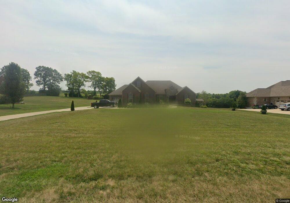
1014 Forrest Hill Dr Lawrenceburg, KY 40342
Estimated Value: $467,000 - $664,000
--
Bed
--
Bath
3,068
Sq Ft
$182/Sq Ft
Est. Value
About This Home
This home is located at 1014 Forrest Hill Dr, Lawrenceburg, KY 40342 and is currently estimated at $559,331, approximately $182 per square foot. 1014 Forrest Hill Dr is a home with nearby schools including Saffell Street Elementary School, Anderson County Middle School, and Anderson County High School.
Ownership History
Date
Name
Owned For
Owner Type
Purchase Details
Closed on
Sep 30, 2020
Sold by
Lee Averitt G and Burton Sara F
Bought by
Lee Averitt G and Burton Sara F
Current Estimated Value
Purchase Details
Closed on
Apr 8, 2020
Sold by
Lee Averitt G
Bought by
Lee Averitt G and Burton Sara F
Purchase Details
Closed on
Feb 6, 2020
Sold by
Mcintosh Bren R and Mcintosh Julia Faith
Bought by
Lee Averitt G
Purchase Details
Closed on
Mar 24, 2016
Sold by
Mason Brian and Mason Julie
Bought by
Carter Stacy M
Home Financials for this Owner
Home Financials are based on the most recent Mortgage that was taken out on this home.
Original Mortgage
$22,400
Interest Rate
3.62%
Mortgage Type
New Conventional
Purchase Details
Closed on
Sep 30, 2015
Sold by
Morgan James D
Bought by
Mason Brian and Mason Julie
Create a Home Valuation Report for This Property
The Home Valuation Report is an in-depth analysis detailing your home's value as well as a comparison with similar homes in the area
Home Values in the Area
Average Home Value in this Area
Purchase History
| Date | Buyer | Sale Price | Title Company |
|---|---|---|---|
| Lee Averitt G | -- | None Available | |
| Lee Averitt G | -- | None Available | |
| Lee Averitt G | $32,500 | None Available | |
| Carter Stacy M | $28,000 | Attorney | |
| Mason Brian | $28,000 | Attorney |
Source: Public Records
Mortgage History
| Date | Status | Borrower | Loan Amount |
|---|---|---|---|
| Previous Owner | Carter Stacy M | $22,400 |
Source: Public Records
Tax History Compared to Growth
Tax History
| Year | Tax Paid | Tax Assessment Tax Assessment Total Assessment is a certain percentage of the fair market value that is determined by local assessors to be the total taxable value of land and additions on the property. | Land | Improvement |
|---|---|---|---|---|
| 2024 | $3,639 | $400,000 | $35,500 | $364,500 |
| 2023 | $3,537 | $385,500 | $35,500 | $350,000 |
| 2022 | $3,674 | $385,500 | $35,500 | $350,000 |
| 2021 | $4,202 | $385,500 | $35,500 | $350,000 |
| 2020 | $396 | $35,500 | $35,500 | $0 |
| 2019 | $346 | $30,500 | $30,500 | $0 |
| 2018 | $342 | $30,500 | $30,500 | $0 |
| 2017 | $305 | $28,000 | $28,000 | $0 |
| 2016 | $297 | $28,000 | $28,000 | $0 |
| 2015 | $165 | $15,950 | $15,950 | $0 |
| 2014 | $164 | $15,950 | $15,950 | $0 |
| 2013 | $162 | $15,950 | $15,950 | $0 |
Source: Public Records
Map
Nearby Homes
- 1022 Forest Hill Dr
- 111 Carlton Dr
- 551 S Main St
- 121 Plantation Dr
- 129 Plantation Dr
- 502 S Main St
- 1013 Silver Leaf Dr
- 1060 Butler Dr
- 14 Coleman Dr
- 538 Lincoln St
- 540 Lincoln St
- 101 Carlton Dr Unit 115
- 324 Highland Ave
- 1313 Bonnie Blue Loop
- 98 Lois St
- 1408 Harrodsburg Rd
- 104 Greenview Dr
- 324 Plum St
- 315 Gailane St
- 507 E Court St
- 1019 Forrest Hill Dr
- 40 Forest Hill Dr
- 41 Forest Hill Dr
- 28 Forest Hill Dr
- 31 Forest Hill Dr
- 48 Forest Hill Dr
- 24 Forest Hill Dr
- 29 Forest Hill Dr
- 21 Forest Hill Dr
- 49 Forest Hill Dr
- 11 Forest Hill Dr
- 0 Forest Hill Dr
- 47 Forest Hill Dr
- 12 Forest Hill Dr
- 18 Forest Hill Dr
- 44 Forest Hill Dr
- 1008 Forrest Hill Dr
- 1025 Forrest Hill Dr
- 1024 Forrest Hill Dr
- 1013 Forrest Hill Dr