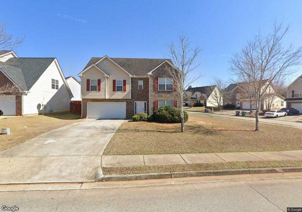
1014 Lear Dr Unit 1 Locust Grove, GA 30248
Estimated Value: $266,000 - $323,000
3
Beds
3
Baths
2,293
Sq Ft
$131/Sq Ft
Est. Value
About This Home
This home is located at 1014 Lear Dr Unit 1, Locust Grove, GA 30248 and is currently estimated at $300,018, approximately $130 per square foot. 1014 Lear Dr Unit 1 is a home located in Henry County with nearby schools including Locust Grove Elementary School, Locust Grove Middle School, and Locust Grove High School.
Ownership History
Date
Name
Owned For
Owner Type
Purchase Details
Closed on
Jun 28, 2018
Sold by
Thr Georgia Lp
Bought by
2018 3 Ih Borrower Lp
Current Estimated Value
Purchase Details
Closed on
Nov 9, 2017
Sold by
2017 2 Ih Borrower Lp
Bought by
Thr Georgia Lp
Purchase Details
Closed on
Aug 14, 2014
Sold by
Thr Georgia Lp
Bought by
2014 2 Ih Borrower Lp
Purchase Details
Closed on
Jan 25, 2013
Sold by
Res Ga Ehl Llc
Bought by
Thr Georgia Lp
Create a Home Valuation Report for This Property
The Home Valuation Report is an in-depth analysis detailing your home's value as well as a comparison with similar homes in the area
Home Values in the Area
Average Home Value in this Area
Purchase History
| Date | Buyer | Sale Price | Title Company |
|---|---|---|---|
| 2018 3 Ih Borrower Lp | -- | -- | |
| Thr Georgia Lp | -- | -- | |
| 2014 2 Ih Borrower Lp | -- | -- | |
| Thr Georgia Lp | $88,500 | -- |
Source: Public Records
Tax History Compared to Growth
Tax History
| Year | Tax Paid | Tax Assessment Tax Assessment Total Assessment is a certain percentage of the fair market value that is determined by local assessors to be the total taxable value of land and additions on the property. | Land | Improvement |
|---|---|---|---|---|
| 2025 | $4,961 | $127,480 | $16,000 | $111,480 |
| 2024 | $4,961 | $115,280 | $16,000 | $99,280 |
| 2023 | $4,357 | $120,280 | $21,200 | $99,080 |
| 2022 | $3,493 | $95,600 | $21,200 | $74,400 |
| 2021 | $2,394 | $65,080 | $12,000 | $53,080 |
| 2020 | $2,394 | $65,080 | $12,000 | $53,080 |
| 2019 | $2,138 | $67,120 | $12,000 | $55,120 |
| 2018 | $2,063 | $56,640 | $10,000 | $46,640 |
| 2016 | $1,714 | $45,960 | $8,000 | $37,960 |
| 2015 | $1,773 | $45,960 | $8,000 | $37,960 |
| 2014 | $1,377 | $35,400 | $6,514 | $28,886 |
Source: Public Records
Map
Nearby Homes
- 170 Al Jennah Blvd
- 409 Kirkland Dr
- 192 Al Jennah Blvd
- 231 Ferguson Ave
- 101 Al Jennah Blvd
- 116 Al Jennah Blvd
- 269 Baumgard Way
- 188 Sophie Cir
- Cali Plan at Cedar Ridge - Locust Grove Station
- Belfort Plan at Cedar Ridge - Locust Grove Station
- Galen Plan at Cedar Ridge - Locust Grove Station
- Hayden Plan at Cedar Ridge - Locust Grove Station
- Packard Plan at Cedar Ridge - Locust Grove Station
- Flora Plan at Cedar Ridge - Locust Grove Station
- Penwell Plan at Cedar Ridge - Locust Grove Station
- 501 Vervain Dr Unit 174
- 198 Aster Ave
- 380 Higgins Rd
- 313 Harris Ave
- 194 Aster Ave