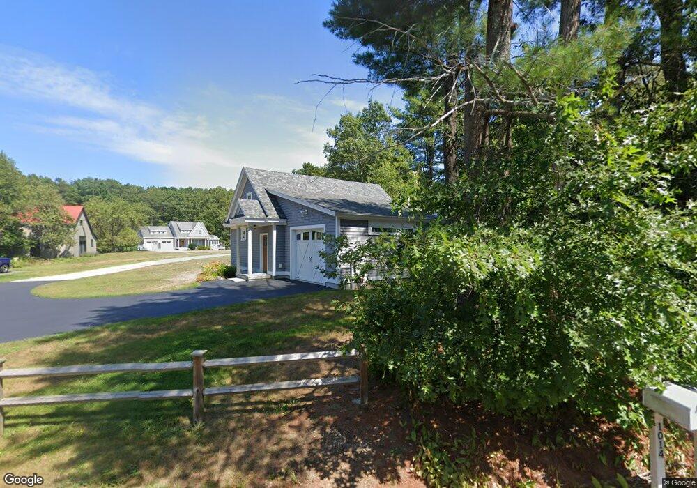
1014 Main St Eliot, ME 03903
South Eliot NeighborhoodEstimated Value: $885,000 - $1,027,000
3
Beds
3
Baths
1,760
Sq Ft
$540/Sq Ft
Est. Value
About This Home
This home is located at 1014 Main St, Eliot, ME 03903 and is currently estimated at $950,279, approximately $539 per square foot. 1014 Main St is a home with nearby schools including Marshwood High School and Seacoast Waldorf School.
Ownership History
Date
Name
Owned For
Owner Type
Purchase Details
Closed on
Jul 1, 2010
Sold by
Dufour Susan J
Bought by
Mcdaniel Kate T and Mcdaniel Erik S
Current Estimated Value
Home Financials for this Owner
Home Financials are based on the most recent Mortgage that was taken out on this home.
Original Mortgage
$220,000
Outstanding Balance
$146,224
Interest Rate
4.88%
Mortgage Type
Purchase Money Mortgage
Estimated Equity
$804,055
Create a Home Valuation Report for This Property
The Home Valuation Report is an in-depth analysis detailing your home's value as well as a comparison with similar homes in the area
Home Values in the Area
Average Home Value in this Area
Purchase History
| Date | Buyer | Sale Price | Title Company |
|---|---|---|---|
| Mcdaniel Kate T | $80,000 | -- |
Source: Public Records
Mortgage History
| Date | Status | Borrower | Loan Amount |
|---|---|---|---|
| Open | Mcdaniel Kate T | $220,000 |
Source: Public Records
Tax History Compared to Growth
Tax History
| Year | Tax Paid | Tax Assessment Tax Assessment Total Assessment is a certain percentage of the fair market value that is determined by local assessors to be the total taxable value of land and additions on the property. | Land | Improvement |
|---|---|---|---|---|
| 2024 | $8,652 | $730,100 | $159,300 | $570,800 |
| 2023 | $8,281 | $676,000 | $152,200 | $523,800 |
| 2022 | $7,800 | $644,600 | $152,200 | $492,400 |
| 2021 | $7,133 | $528,400 | $122,100 | $406,300 |
| 2020 | $7,071 | $481,000 | $117,000 | $364,000 |
| 2019 | $7,071 | $481,000 | $117,000 | $364,000 |
| 2018 | $7,071 | $481,000 | $117,000 | $364,000 |
| 2017 | $5,119 | $358,000 | $117,000 | $241,000 |
| 2016 | $5,030 | $358,000 | $117,000 | $241,000 |
| 2015 | $5,012 | $358,000 | $117,000 | $241,000 |
| 2014 | $4,859 | $352,100 | $111,500 | $240,600 |
| 2013 | $4,637 | $352,100 | $111,500 | $240,600 |
Source: Public Records
Map
Nearby Homes
- 956 Main St
- 850 Main St
- 0 Franks Fort Island Unit 1631886
- 18 Shipping Ln
- 8 Caslyn Dr
- 35 Leach Rd
- 493 Main St
- 10 Shipwright Way
- 71 Shipwright Way
- 7 Fernald Rd
- 46 Littlebrook Ln
- 124 Spinnaker Way
- 18 Governor Hill Rd
- 33 Little Bay Dr
- 5 Spinney Way Unit 9
- 27 Wentworth Terrace
- 18 Little Bay Dr
- 19 Shearwater Dr Unit 1903
- 15 Shearwater Dr Unit 1902
- 37 Shearwater Dr Unit 1906
- 1010 Main St
- 1020 Main St
- 1046 Main St
- 212 Main St
- 1002 Main St
- LOT C Parmley Ln
- 1011 Main St
- 0 Parmley Ln Unit 975547
- 0 Parmley Ln Unit 1010809
- 978 Main St
- 1063 Main St
- 1 Mast Cove Rd
- 972 Main St
- 989 Main St
- 968 Main St
- 3 Mast Cove Rd
- 0 Mast Cove
- 103 Moses Gerrish Farmer Rd
- 194 Main St
- 20 Parmley Ln