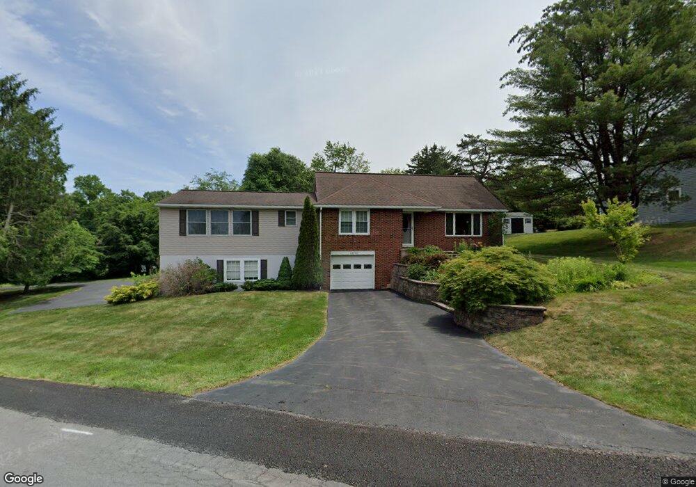
1014 Mcrae Ln Lewisburg, PA 17837
East Buffalo Township NeighborhoodEstimated Value: $369,659 - $421,000
3
Beds
2
Baths
1,731
Sq Ft
$230/Sq Ft
Est. Value
About This Home
This home is located at 1014 Mcrae Ln, Lewisburg, PA 17837 and is currently estimated at $398,915, approximately $230 per square foot. 1014 Mcrae Ln is a home located in Union County with nearby schools including Kelly Elementary School, Linntown Elementary School, and Donald H. Eichhorn Middle School.
Ownership History
Date
Name
Owned For
Owner Type
Purchase Details
Closed on
Jul 20, 2020
Sold by
Running Timothy C and Running Ann M
Bought by
Wilson Thomas Andrew
Current Estimated Value
Home Financials for this Owner
Home Financials are based on the most recent Mortgage that was taken out on this home.
Original Mortgage
$256,500
Outstanding Balance
$226,865
Interest Rate
3.2%
Mortgage Type
New Conventional
Estimated Equity
$172,050
Purchase Details
Closed on
Jun 30, 2010
Sold by
Wagner Kenneth L and Wagner Linda S
Bought by
Running Timothy C and Running Ann Marie
Home Financials for this Owner
Home Financials are based on the most recent Mortgage that was taken out on this home.
Original Mortgage
$170,246
Interest Rate
5.12%
Mortgage Type
FHA
Create a Home Valuation Report for This Property
The Home Valuation Report is an in-depth analysis detailing your home's value as well as a comparison with similar homes in the area
Home Values in the Area
Average Home Value in this Area
Purchase History
| Date | Buyer | Sale Price | Title Company |
|---|---|---|---|
| Wilson Thomas Andrew | $270,000 | Attorney Only | |
| Wilson Thomas Andrew | $270,000 | None Available | |
| Running Timothy C | $176,500 | None Available |
Source: Public Records
Mortgage History
| Date | Status | Borrower | Loan Amount |
|---|---|---|---|
| Open | Wilson Thomas Andrew | $256,500 | |
| Closed | Wilson Thomas Andrew | $256,500 | |
| Previous Owner | Running Timothy C | $170,246 |
Source: Public Records
Tax History Compared to Growth
Tax History
| Year | Tax Paid | Tax Assessment Tax Assessment Total Assessment is a certain percentage of the fair market value that is determined by local assessors to be the total taxable value of land and additions on the property. | Land | Improvement |
|---|---|---|---|---|
| 2025 | $4,893 | $166,700 | $20,100 | $146,600 |
| 2024 | $4,761 | $166,700 | $20,100 | $146,600 |
| 2023 | $4,618 | $166,700 | $20,100 | $146,600 |
| 2022 | $4,609 | $166,700 | $20,100 | $146,600 |
| 2021 | $4,629 | $166,700 | $20,100 | $146,600 |
| 2020 | $3,741 | $134,600 | $20,100 | $114,500 |
| 2019 | $37,688 | $134,600 | $20,100 | $114,500 |
| 2018 | $3,718 | $134,600 | $20,100 | $114,500 |
| 2017 | $3,718 | $134,600 | $20,100 | $114,500 |
| 2016 | $3,576 | $134,600 | $20,100 | $114,500 |
| 2015 | -- | $134,600 | $20,100 | $114,500 |
| 2014 | -- | $134,600 | $20,100 | $114,500 |
Source: Public Records
Map
Nearby Homes
- 908 Hillcrest Ln
- 919 College Ct
- 84 Windsor Way
- 114 Windsor Way
- 688 Beagle Club Rd
- 692 Beagle Club Rd
- 169 Windsor Way
- 217 Hardscrabble Ln
- 237 Hardscrabble Ln
- 36 Classic Hills Dr
- 612 Stein Ln
- 609 Hardscrabble Ln
- 66 Wedgewood Gardens
- 211 James Rd
- 268 Supplee Mill Rd
- 125 Harrison Ave
- 130 S 13th St
- 110 Schoolhouse Ln
- 407 S 20th St
- 96 Dogwood Ln