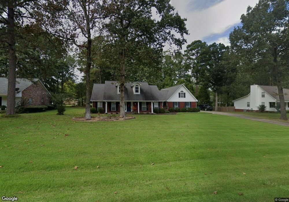
1014 Michael Ann Dr White Hall, AR 71602
Estimated Value: $279,160 - $322,000
Studio
3
Baths
2,358
Sq Ft
$127/Sq Ft
Est. Value
About This Home
This home is located at 1014 Michael Ann Dr, White Hall, AR 71602 and is currently estimated at $299,290, approximately $126 per square foot. 1014 Michael Ann Dr is a home located in Jefferson County with nearby schools including Moody Elementary School, White Hall Junior High School, and White Hall High School.
Ownership History
Date
Name
Owned For
Owner Type
Purchase Details
Closed on
Jul 3, 1997
Bought by
Acosta Michael G and 1403 War Eagle Dr
Current Estimated Value
Purchase Details
Closed on
Apr 7, 1995
Bought by
Mckenzie Ronald Dee
Create a Home Valuation Report for This Property
The Home Valuation Report is an in-depth analysis detailing your home's value as well as a comparison with similar homes in the area
Home Values in the Area
Average Home Value in this Area
Purchase History
| Date | Buyer | Sale Price | Title Company |
|---|---|---|---|
| Acosta Michael G | -- | -- | |
| Mckenzie Ronald Dee | -- | -- |
Source: Public Records
Mortgage History
| Date | Status | Borrower | Loan Amount |
|---|---|---|---|
| Closed | Mckenzie Ronald Dee | $0 | |
| Closed | Mckenzie Ronald Dee | $0 | |
| Closed | Mckenzie Ronald Dee | $0 |
Source: Public Records
Tax History
| Year | Tax Paid | Tax Assessment Tax Assessment Total Assessment is a certain percentage of the fair market value that is determined by local assessors to be the total taxable value of land and additions on the property. | Land | Improvement |
|---|---|---|---|---|
| 2025 | $2,076 | $47,160 | $3,750 | $43,410 |
| 2024 | $2,115 | $47,160 | $3,750 | $43,410 |
| 2023 | $2,071 | $47,160 | $3,750 | $43,410 |
| 2022 | $2,002 | $41,890 | $4,000 | $37,890 |
| 2021 | $2,002 | $41,890 | $4,000 | $37,890 |
| 2020 | $2,002 | $41,890 | $4,000 | $37,890 |
| 2019 | $1,881 | $41,890 | $4,000 | $37,890 |
| 2018 | $1,906 | $41,890 | $4,000 | $37,890 |
| 2017 | $1,833 | $40,540 | $4,000 | $36,540 |
| 2016 | $1,833 | $40,540 | $4,000 | $36,540 |
| 2015 | $1,823 | $40,540 | $4,000 | $36,540 |
| 2014 | -- | $40,540 | $4,000 | $36,540 |
Source: Public Records
Map
Nearby Homes
- 1013 Michael Ann Dr
- 0 Michael Ann Dr
- 1107 Katie Ln
- 0 Mcdaniel
- 102 Farah Dr
- 10200 Dollarway Rd
- 1003 Camp Rd
- Lot 020 930-37727-000
- Lot 011 W Jones Ave
- Lot 004 W Webb Ave
- 1300 Blue Acres St
- 1304 Blue Acres St
- 202 Whitefield Dr
- 9403 U S 270
- 209 Clark Rd
- 401 Cooper St
- 516 White Hall Ave
- 8501 Dollarway Rd
- 0 White Hall Rd
- 8800 Highway 270
- 1012 Michael Ann Dr
- 1016 Michael Ann Dr
- 1013 Ellen Dr
- 1005 Ellen Dr
- 1010 Michael Ann Dr
- 1011 Michael Ann Dr
- 1015 Michael Ann Dr
- 1001 Ellen Dr
- 1009 Michael Ann Dr
- 1015 Ellen Dr
- 1006 Michael Ann Dr
- 1010 Ellen Dr
- 1007 Michael Ann Dr
- 1006 Ellen Dr
- 1012 Ellen Dr
- 905 Ellen Dr
- 1017 Michael Ann Dr
- 906 Ellen Dr
- 1005 Michael Ann Dr
- 1014 Ellen Dr
Your Personal Tour Guide
Ask me questions while you tour the home.