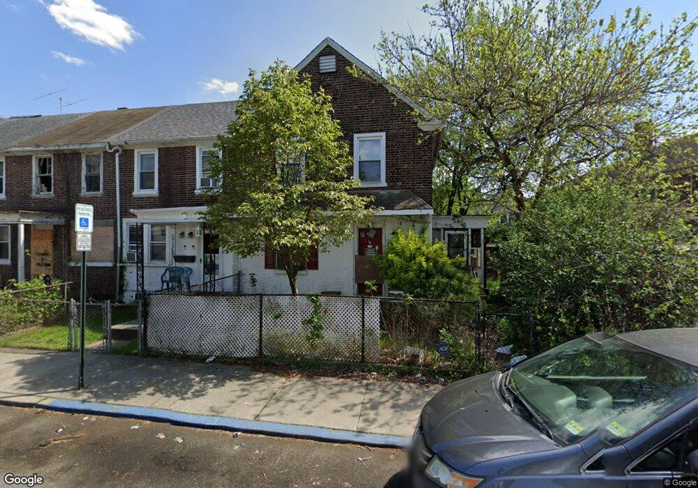
1014 Monitor Rd Camden, NJ 08104
Fairview NeighborhoodEstimated Value: $136,382 - $170,000
--
Bed
--
Bath
1,152
Sq Ft
$133/Sq Ft
Est. Value
About This Home
This home is located at 1014 Monitor Rd, Camden, NJ 08104 and is currently estimated at $153,346, approximately $133 per square foot. 1014 Monitor Rd is a home located in Camden County with nearby schools including Yorkship Elementary School, Camden High School, and Sacred Heart School.
Ownership History
Date
Name
Owned For
Owner Type
Purchase Details
Closed on
Jun 23, 2004
Sold by
Sacks Joan T
Bought by
Versace Marco
Current Estimated Value
Home Financials for this Owner
Home Financials are based on the most recent Mortgage that was taken out on this home.
Original Mortgage
$49,500
Outstanding Balance
$24,715
Interest Rate
6.32%
Estimated Equity
$128,631
Create a Home Valuation Report for This Property
The Home Valuation Report is an in-depth analysis detailing your home's value as well as a comparison with similar homes in the area
Home Values in the Area
Average Home Value in this Area
Purchase History
| Date | Buyer | Sale Price | Title Company |
|---|---|---|---|
| Versace Marco | $55,000 | -- |
Source: Public Records
Mortgage History
| Date | Status | Borrower | Loan Amount |
|---|---|---|---|
| Open | Versace Marco | $49,500 |
Source: Public Records
Tax History Compared to Growth
Tax History
| Year | Tax Paid | Tax Assessment Tax Assessment Total Assessment is a certain percentage of the fair market value that is determined by local assessors to be the total taxable value of land and additions on the property. | Land | Improvement |
|---|---|---|---|---|
| 2025 | $2,204 | $62,200 | $14,900 | $47,300 |
| 2024 | $2,130 | $62,200 | $14,900 | $47,300 |
| 2023 | $2,130 | $62,200 | $14,900 | $47,300 |
| 2022 | $2,091 | $62,200 | $14,900 | $47,300 |
| 2021 | $2,083 | $62,200 | $14,900 | $47,300 |
| 2020 | $1,978 | $62,200 | $14,900 | $47,300 |
| 2019 | $1,894 | $62,200 | $14,900 | $47,300 |
| 2018 | $1,884 | $62,200 | $14,900 | $47,300 |
| 2017 | $1,838 | $62,200 | $14,900 | $47,300 |
| 2016 | $1,780 | $62,200 | $14,900 | $47,300 |
| 2015 | $1,713 | $62,200 | $14,900 | $47,300 |
| 2014 | $1,672 | $62,200 | $14,900 | $47,300 |
Source: Public Records
Map
Nearby Homes
- 1029 Ironside Rd
- 1065 Ironside Rd
- 1020 Niagara Rd
- 3159 W Ironside Rd
- 1072 S Merrimac Rd
- 3044 Fenwick Rd
- 1261 S Merrimac Rd
- 2909 Yorkship Rd
- 3069 S Chesapeake Rd
- 2870 Kansas Rd
- 1300 S Merrimac Rd
- 2845 N Constitution Rd
- 3079 Alabama Rd
- 1316 S Merrimac Rd
- 2828 Yorkship Rd Unit 1
- 1333 Argus Rd
- 2931 N Constitution Rd
- 2682 N Congress Rd
- 1433 N Chesapeake Rd
- 607 N Johnson Blvd
- 1016 Monitor Rd
- 1018 Monitor Rd
- 3170 Tuckahoe Rd
- 1020 Monitor Rd
- 3172 Tuckahoe Rd
- 1004 Monitor Rd
- 1022 Monitor Rd
- 3178 Tuckahoe Rd
- 1051 Collings Rd
- 1024 Monitor Rd
- 1053 Collings Rd
- 3180 Tuckahoe Rd
- 1055 Collings Rd
- 1015 Monitor Rd
- 1017 Monitor Rd
- 1026 Monitor Rd
- 1013 Monitor Rd
- 1057 Collings Rd
- 1019 Monitor Rd
- 1011 Monitor Rd