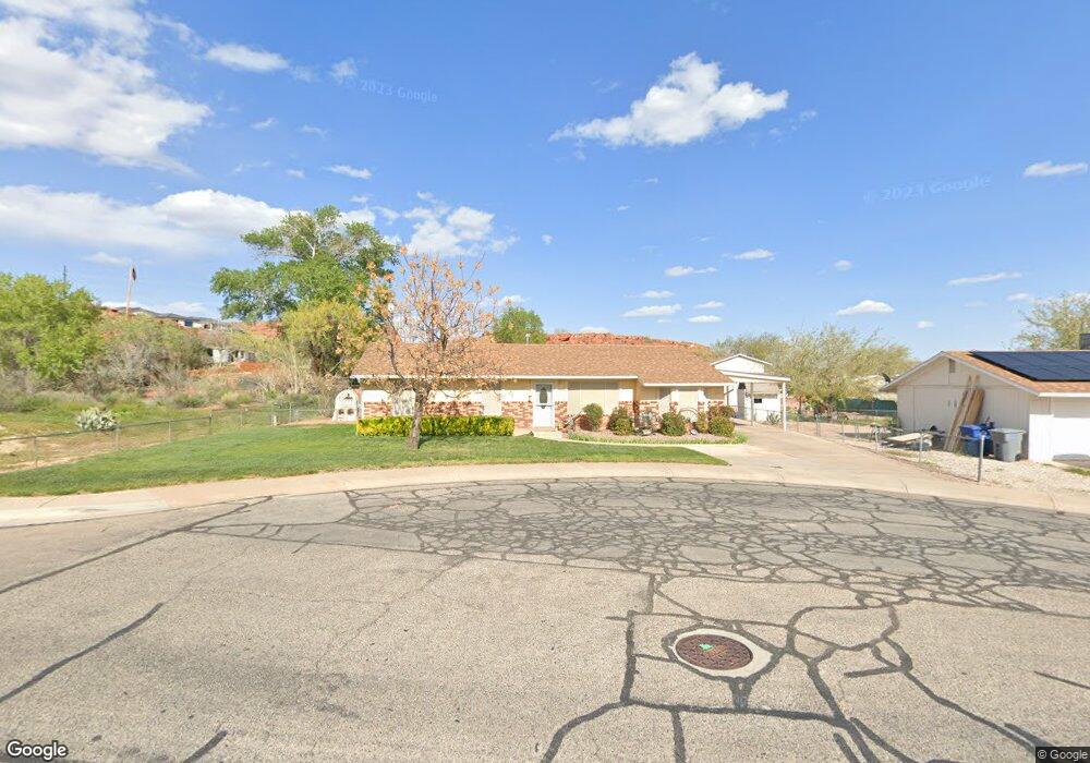
1014 N 2050 East Cir Saint George, UT 84770
Estimated Value: $409,275 - $504,000
4
Beds
2
Baths
1,468
Sq Ft
$304/Sq Ft
Est. Value
About This Home
This home is located at 1014 N 2050 East Cir, Saint George, UT 84770 and is currently estimated at $446,319, approximately $304 per square foot. 1014 N 2050 East Cir is a home located in Washington County with nearby schools including Sandstone School, Pine View Middle School, and Fossil Ridge Intermediate School.
Ownership History
Date
Name
Owned For
Owner Type
Purchase Details
Closed on
Mar 25, 2024
Sold by
Truman Mark Wesley and Truman Luanne C
Bought by
Truman Living Trust and Truman
Current Estimated Value
Purchase Details
Closed on
Mar 15, 2024
Sold by
Truman Mark W and Truman Luanne C
Bought by
Truman Living Trust and Truman
Purchase Details
Closed on
Jan 2, 2024
Sold by
Truman Mark W and Truman Luanne C
Bought by
Truman Living Trust
Create a Home Valuation Report for This Property
The Home Valuation Report is an in-depth analysis detailing your home's value as well as a comparison with similar homes in the area
Home Values in the Area
Average Home Value in this Area
Purchase History
| Date | Buyer | Sale Price | Title Company |
|---|---|---|---|
| Truman Living Trust | -- | None Listed On Document | |
| Truman Living Trust | -- | None Listed On Document | |
| Truman Living Trust | -- | None Listed On Document |
Source: Public Records
Tax History Compared to Growth
Tax History
| Year | Tax Paid | Tax Assessment Tax Assessment Total Assessment is a certain percentage of the fair market value that is determined by local assessors to be the total taxable value of land and additions on the property. | Land | Improvement |
|---|---|---|---|---|
| 2025 | $1,304 | $194,150 | $49,500 | $144,650 |
| 2023 | $1,318 | $196,955 | $46,750 | $150,205 |
| 2022 | $1,474 | $207,075 | $46,750 | $160,325 |
| 2021 | $1,287 | $269,700 | $65,000 | $204,700 |
| 2020 | $1,192 | $235,300 | $60,000 | $175,300 |
| 2019 | $1,136 | $219,100 | $60,000 | $159,100 |
| 2018 | $1,057 | $102,135 | $0 | $0 |
| 2017 | $936 | $90,475 | $0 | $0 |
| 2016 | $869 | $77,715 | $0 | $0 |
| 2015 | $836 | $71,720 | $0 | $0 |
| 2014 | $883 | $76,175 | $0 | $0 |
Source: Public Records
Map
Nearby Homes
- 1009 N 2050 E
- 948 N 2050 East Cir
- 2031 E Colorado Dr
- 2031 E Colorado Dr Unit 209
- 2031 E Colorado Dr Unit 204
- 2031 E Colorado Dr Unit 406
- 1976 E 1200 Cir N
- 2105 Panorama Pkwy N
- 2088 Panorama Pkwy N
- 646 N 2000 E
- 1761 E 1150 N
- 2140 E 620 N
- 41 N Westgate Hills Dr
- 31 W Silver Feather Cir
- 1150 W Red Hills Pkwy Unit 131
- 1150 W Red Hills Pkwy Unit 72
- 1150 W Red Hills Pkwy Unit 142
- 1150 W Red Hills Pkwy Unit 113
- 1150 W Red Hills Pkwy Unit 66
- 1150 W Red Hills Pkwy Unit 37
- 998 N 2050 East Cir
- 998 N 2050 E
- 0 N 2050 E
- N N 2050 Cir E
- 1015 N 2075 East Cir
- 999 N 2075 East Cir
- 992 N 2050 East Cir
- 992 N 2050 Cir E
- 993 N 2075 East Cir
- 1017 N 2050 E
- 1009 N 2050 East Cir
- 995 N 2050 East Cir
- 1033 N 2050 East Cir
- 978 N 2050 E
- 1025 N 2075 East Cir
- 978 N 2050 East Cir
- 989 N 2075 East Cir
- 989 N 2050 Cir E
- 2075 2075 Cir E
- 989 N 2050 East Cir