1014 N Admirals Pointe Dr Lafayette, IN 47909
Estimated Value: $888,000 - $986,108
4
Beds
4
Baths
3,058
Sq Ft
$302/Sq Ft
Est. Value
About This Home
This home is located at 1014 N Admirals Pointe Dr, Lafayette, IN 47909 and is currently estimated at $924,277, approximately $302 per square foot. 1014 N Admirals Pointe Dr is a home located in Tippecanoe County with nearby schools including Mintonye Elementary School, Southwestern Middle School, and McCutcheon High School.
Ownership History
Date
Name
Owned For
Owner Type
Purchase Details
Closed on
May 8, 2023
Sold by
Waller Terry Lee and Waller Andrea Michelle
Bought by
Oliger Keith E and Oliger Laura A
Current Estimated Value
Home Financials for this Owner
Home Financials are based on the most recent Mortgage that was taken out on this home.
Original Mortgage
$500,000
Outstanding Balance
$485,816
Interest Rate
6.28%
Mortgage Type
New Conventional
Estimated Equity
$438,461
Purchase Details
Closed on
Oct 3, 2014
Sold by
Raineybrook Realty Corp
Bought by
Waller Terry Lee and Waller Andrea Michelle
Purchase Details
Closed on
Feb 7, 2013
Sold by
Suesro Inc
Bought by
Rainey Brook Realty Corp
Create a Home Valuation Report for This Property
The Home Valuation Report is an in-depth analysis detailing your home's value as well as a comparison with similar homes in the area
Home Values in the Area
Average Home Value in this Area
Purchase History
| Date | Buyer | Sale Price | Title Company |
|---|---|---|---|
| Oliger Keith E | -- | Metropolitan Title | |
| Waller Terry Lee | -- | -- | |
| Rainey Brook Realty Corp | -- | -- | |
| Rainey Brook Realty Corp | -- | -- |
Source: Public Records
Mortgage History
| Date | Status | Borrower | Loan Amount |
|---|---|---|---|
| Open | Oliger Keith E | $500,000 |
Source: Public Records
Tax History Compared to Growth
Tax History
| Year | Tax Paid | Tax Assessment Tax Assessment Total Assessment is a certain percentage of the fair market value that is determined by local assessors to be the total taxable value of land and additions on the property. | Land | Improvement |
|---|---|---|---|---|
| 2024 | $6,635 | $777,300 | $75,000 | $702,300 |
| 2023 | $5,961 | $721,800 | $75,000 | $646,800 |
| 2022 | $6,078 | $667,600 | $75,000 | $592,600 |
| 2021 | $5,704 | $630,500 | $75,000 | $555,500 |
| 2020 | $5,631 | $630,500 | $75,000 | $555,500 |
| 2019 | $5,407 | $607,400 | $75,000 | $532,400 |
| 2018 | $5,128 | $594,200 | $75,000 | $519,200 |
| 2017 | $5,117 | $590,000 | $75,000 | $515,000 |
| 2016 | $4,936 | $581,300 | $75,000 | $506,300 |
| 2014 | $5 | $1,100 | $1,100 | $0 |
| 2013 | $18 | $1,100 | $1,100 | $0 |
Source: Public Records
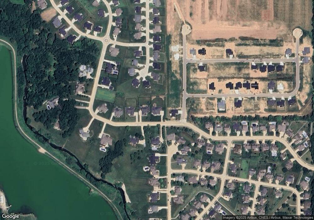
Map
Nearby Homes
- 1062 N Admirals Pointe Dr
- 4254-4268 Admirals Cove Dr
- 4336 Admirals Cove Dr
- 892 Ravenstone Dr
- 880 Drydock Dr
- 857 Ravenstone Dr
- 825 Ravenstone Dr
- 4654 Flagship Ln
- 775 N Admirals Pointe Dr
- 809 Ravenstone Dr
- 825 Drydock Dr
- 4545 S 175 W
- 0 W 500 S
- 4901 Chickadee Dr
- 603 W 500 S
- 4902 Osprey Ct
- 228 Buckingham Cir
- 4108 Westwind Dr
- 214 Mccutcheon Dr
- 603 West St
- 1014 N Admirals Pointe Dr
- 1040 N Admirals Pointe Dr
- 1062 N Admirals Pointe Dr
- 4539 Topsail Trace
- 1015 N Admirals Pointe Dr
- 4431 Admiral's Cove Dr
- 4426 Admirals Cove Dr
- 1092 N Admirals Pointe Dr
- 4551 Topsail Trace
- 4418 Admirals Cove Dr
- 4580 Topsail Trace Unit 207
- 4575 Topsail Trace
- 933 N Admirals Pointe Dr
- 940 N Admirals Pointe Dr
- 1126 N Admirals Pointe Dr
- 4447 W Admirals Pointe Dr
- 4389 Admirals Cove Dr
- 4423 W Admirals Pointe Dr
- 4421 Admirals Cove Dr
- 4402 Admirals Cove Dr