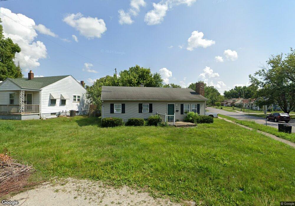
1014 N Oakland Ave Decatur, IL 62522
Garfield Park NeighborhoodEstimated Value: $37,000 - $52,000
3
Beds
1
Bath
897
Sq Ft
$48/Sq Ft
Est. Value
About This Home
This home is located at 1014 N Oakland Ave, Decatur, IL 62522 and is currently estimated at $42,921, approximately $47 per square foot. 1014 N Oakland Ave is a home located in Macon County with nearby schools including Stephen Decatur Middle School and Teen Challenge-Home For Girls.
Ownership History
Date
Name
Owned For
Owner Type
Purchase Details
Closed on
Nov 13, 2009
Sold by
Guffey Matthew W
Bought by
Tyler Bryson R
Current Estimated Value
Home Financials for this Owner
Home Financials are based on the most recent Mortgage that was taken out on this home.
Original Mortgage
$43,192
Outstanding Balance
$28,145
Interest Rate
4.96%
Mortgage Type
FHA
Estimated Equity
$14,776
Purchase Details
Closed on
Jul 1, 1998
Create a Home Valuation Report for This Property
The Home Valuation Report is an in-depth analysis detailing your home's value as well as a comparison with similar homes in the area
Home Values in the Area
Average Home Value in this Area
Purchase History
| Date | Buyer | Sale Price | Title Company |
|---|---|---|---|
| Tyler Bryson R | $44,000 | None Available | |
| -- | $45,500 | -- |
Source: Public Records
Mortgage History
| Date | Status | Borrower | Loan Amount |
|---|---|---|---|
| Open | Tyler Bryson R | $43,192 |
Source: Public Records
Tax History Compared to Growth
Tax History
| Year | Tax Paid | Tax Assessment Tax Assessment Total Assessment is a certain percentage of the fair market value that is determined by local assessors to be the total taxable value of land and additions on the property. | Land | Improvement |
|---|---|---|---|---|
| 2024 | $802 | $8,285 | $437 | $7,848 |
| 2023 | $795 | $7,992 | $422 | $7,570 |
| 2022 | $771 | $7,538 | $390 | $7,148 |
| 2021 | $724 | $7,041 | $365 | $6,676 |
| 2020 | $714 | $6,715 | $349 | $6,366 |
| 2019 | $714 | $6,715 | $349 | $6,366 |
| 2018 | $770 | $7,324 | $227 | $7,097 |
| 2017 | $788 | $7,519 | $233 | $7,286 |
| 2016 | $803 | $7,595 | $235 | $7,360 |
| 2015 | $763 | $7,461 | $231 | $7,230 |
| 2014 | $815 | $8,505 | $222 | $8,283 |
| 2013 | $842 | $8,824 | $230 | $8,594 |
Source: Public Records
Map
Nearby Homes
- 1065 W Green St
- 917 N Wilder Ave
- 837 W Grand Ave
- 1319 W Waggoner St
- 1429 N Walnut Grove Ave
- 1451 W Marietta St
- 933 W Division St
- 875 N Monroe St
- 958 W William St
- 1535 N Mcclellan Ave
- 925 W Olive St
- 1530 W Cushing St
- 1545 N Monroe St
- 1653 N Maple Ave
- 1645 W Center St
- 1504 N Monroe St
- 415 W Green St
- 1675 W Center St
- 1415 N Dennis Ave
- 644 W Division St
- 1081 Evans Ct
- 1098 W Marietta St
- 1069 Evans Ct
- 1090 W Marietta St
- 1034 N Oakland Ave
- 1080 W Marietta St
- 1078 Evans Ct
- 1070 W Marietta St
- 1061 Evans Ct
- 1005 N Oakland Ave
- 1009 N Oakland Ave
- 1019 N Oakland Ave
- 1408 N Oakland Ave
- 1027 N Oakland Ave
- 1060 W Marietta St
- 1035 N Oakland Ave
- 1062 Evans Ct
- 1089 W Marietta St
- 1052 N Oakland Ave
- 1053 Evans Ct