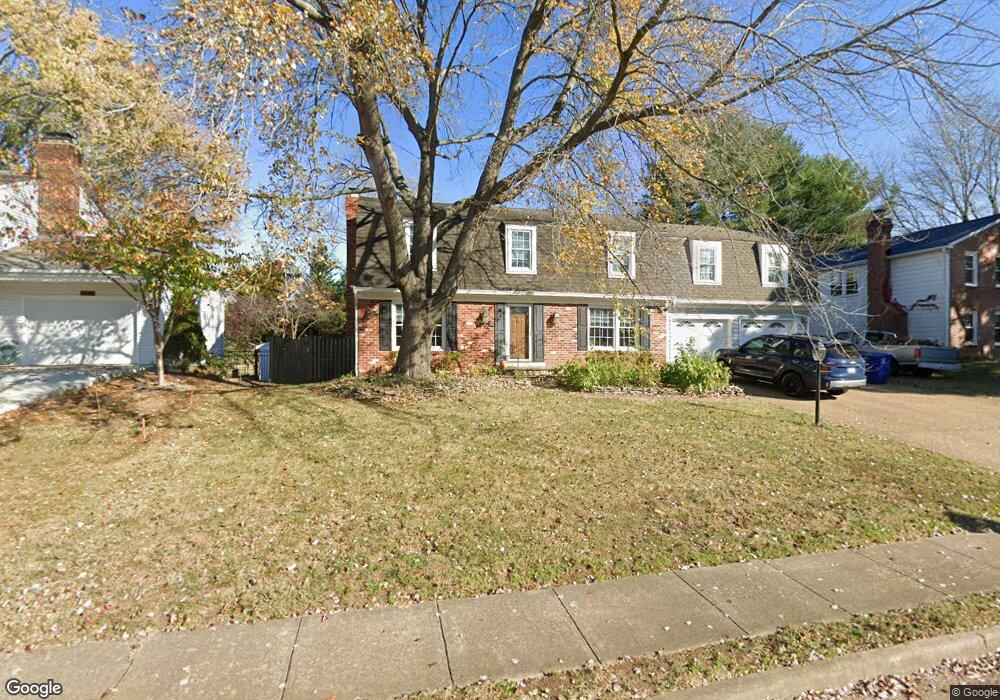
1014 Rollins Dr SW Leesburg, VA 20175
Estimated Value: $863,000 - $1,029,000
4
Beds
4
Baths
3,816
Sq Ft
$248/Sq Ft
Est. Value
About This Home
This home is located at 1014 Rollins Dr SW, Leesburg, VA 20175 and is currently estimated at $947,450, approximately $248 per square foot. 1014 Rollins Dr SW is a home located in Loudoun County with nearby schools including Catoctin Elementary School, J. Lupton Simpson Middle School, and Loudoun County High School.
Ownership History
Date
Name
Owned For
Owner Type
Purchase Details
Closed on
Jul 20, 2018
Sold by
Goyne Michael W and Goyne Jessie Roth F
Bought by
Goyne Michael Wayne
Current Estimated Value
Home Financials for this Owner
Home Financials are based on the most recent Mortgage that was taken out on this home.
Original Mortgage
$235,000
Interest Rate
4.5%
Mortgage Type
New Conventional
Create a Home Valuation Report for This Property
The Home Valuation Report is an in-depth analysis detailing your home's value as well as a comparison with similar homes in the area
Home Values in the Area
Average Home Value in this Area
Purchase History
| Date | Buyer | Sale Price | Title Company |
|---|---|---|---|
| Goyne Michael Wayne | -- | None Available |
Source: Public Records
Mortgage History
| Date | Status | Borrower | Loan Amount |
|---|---|---|---|
| Closed | Goyne Michael Wayne | $235,000 |
Source: Public Records
Tax History Compared to Growth
Tax History
| Year | Tax Paid | Tax Assessment Tax Assessment Total Assessment is a certain percentage of the fair market value that is determined by local assessors to be the total taxable value of land and additions on the property. | Land | Improvement |
|---|---|---|---|---|
| 2025 | $6,954 | $863,840 | $259,800 | $604,040 |
| 2024 | $6,515 | $753,160 | $259,800 | $493,360 |
| 2023 | $6,217 | $710,500 | $259,800 | $450,700 |
| 2022 | $6,201 | $696,720 | $229,800 | $466,920 |
| 2021 | $5,827 | $594,570 | $199,800 | $394,770 |
| 2020 | $5,821 | $562,410 | $179,800 | $382,610 |
| 2019 | $5,788 | $553,840 | $179,800 | $374,040 |
| 2018 | $5,632 | $519,090 | $149,800 | $369,290 |
| 2017 | $5,528 | $491,420 | $149,800 | $341,620 |
| 2016 | $5,452 | $476,170 | $0 | $0 |
| 2015 | $894 | $338,760 | $0 | $338,760 |
| 2014 | $919 | $352,330 | $0 | $352,330 |
Source: Public Records
Map
Nearby Homes
- 125 Clubhouse Dr SW Unit 11
- 15 Linden Hill Way SW
- 146 Hampshire Square SW
- 912 Chancellor St SW
- 520 Clagett St SW
- 131 Goldsworth Terrace SW
- 1432 Moore Place SW
- 1023 Themis St SE
- 18371 Sydnor Hill Ct
- 202 Stratford Place SW
- 252 Elia Ct SE
- 227 Stoic St SE
- 428 Foxridge Dr SW
- 102 Stoic St SE
- 304 Lafayette Place SW
- 641 Meade Dr SW
- 18515 Lake Hill Dr
- 109 Belmont Dr SW
- 154 Alpine Dr SE
- 227 Dry Mill Rd SW
- 1016 Rollins Dr SW
- 1012 Rollins Dr SW
- 1018 Rollins Dr SW
- 1013 Rollins Dr SW
- 1010 Rollins Dr SW
- 1015 Rollins Dr SW
- 1011 Rollins Dr SW
- 1017 Rollins Dr SW
- 1020 Rollins Dr SW
- 1003 Rollins Dr SW
- 202 Ward Cir SW
- 306 Country Club Dr SW
- 402 Country Club Dr SW
- 404 Country Club Dr SW
- 304 Country Club Dr SW
- 204 Ward Cir SW
- 1022 Rollins Dr SW
- 408 Country Club Dr SW
- 302 Country Club Dr SW
- 410 Country Club Dr SW