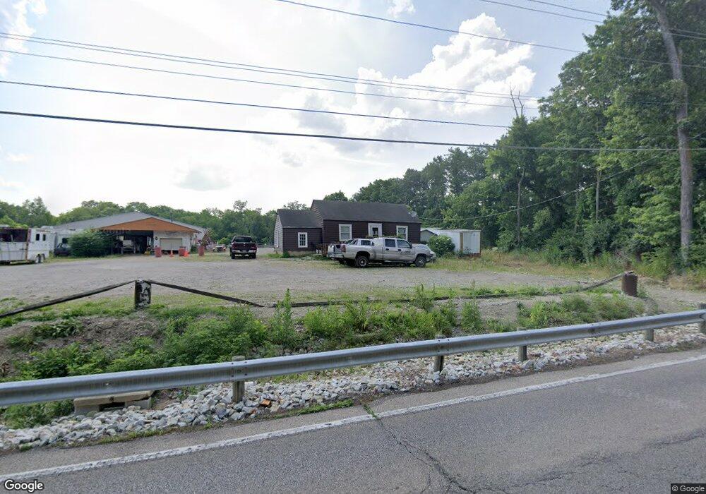
10141 Mill Rd Cincinnati, OH 45231
New Burlington NeighborhoodEstimated Value: $138,000 - $169,000
2
Beds
1
Bath
850
Sq Ft
$182/Sq Ft
Est. Value
About This Home
This home is located at 10141 Mill Rd, Cincinnati, OH 45231 and is currently estimated at $154,700, approximately $182 per square foot. 10141 Mill Rd is a home located in Hamilton County with nearby schools including Mt Healthy High School and Central Montessori Academy.
Ownership History
Date
Name
Owned For
Owner Type
Purchase Details
Closed on
Sep 26, 2011
Sold by
Clemons Henreitta H
Bought by
Clemons Henrietta H and Clemons Clarence A
Current Estimated Value
Purchase Details
Closed on
Aug 18, 2006
Sold by
Hillen Robert C
Bought by
Clemons Henrietta H
Home Financials for this Owner
Home Financials are based on the most recent Mortgage that was taken out on this home.
Original Mortgage
$61,500
Interest Rate
7.87%
Mortgage Type
Unknown
Create a Home Valuation Report for This Property
The Home Valuation Report is an in-depth analysis detailing your home's value as well as a comparison with similar homes in the area
Home Values in the Area
Average Home Value in this Area
Purchase History
| Date | Buyer | Sale Price | Title Company |
|---|---|---|---|
| Clemons Henrietta H | -- | -- | |
| Clemons Henrietta H | -- | -- | |
| Clemons Henrietta H | $77,500 | Advanced Land Title Agency |
Source: Public Records
Mortgage History
| Date | Status | Borrower | Loan Amount |
|---|---|---|---|
| Previous Owner | Clemons Henrietta H | $61,500 |
Source: Public Records
Tax History Compared to Growth
Tax History
| Year | Tax Paid | Tax Assessment Tax Assessment Total Assessment is a certain percentage of the fair market value that is determined by local assessors to be the total taxable value of land and additions on the property. | Land | Improvement |
|---|---|---|---|---|
| 2023 | $2,261 | $37,118 | $15,736 | $21,382 |
| 2022 | $2,365 | $30,002 | $15,379 | $14,623 |
| 2021 | $2,354 | $30,002 | $15,379 | $14,623 |
| 2020 | $2,324 | $30,002 | $15,379 | $14,623 |
| 2019 | $1,973 | $23,625 | $12,110 | $11,515 |
| 2018 | $1,983 | $23,625 | $12,110 | $11,515 |
| 2017 | $1,911 | $23,625 | $12,110 | $11,515 |
| 2016 | $1,375 | $15,138 | $3,735 | $11,403 |
| 2015 | $1,249 | $15,138 | $3,735 | $11,403 |
| 2014 | $1,240 | $15,138 | $3,735 | $11,403 |
| 2013 | $1,335 | $16,636 | $4,106 | $12,530 |
Source: Public Records
Map
Nearby Homes
- 1523 Covered Bridge Rd
- 1780 Springdale Rd
- 1805 Miles Rd
- 10453 Mill Rd
- 1917 Springdale Rd
- 10410 Maria Ave
- 9811 Beau Ln
- 2005 Miles Rd
- 10591 Wellingwood Ct
- 1559 Meredith Dr
- 1579 Meredith Dr
- 2000 Struble Rd
- 1717 Aspenhill Dr
- 2267 Magdalena Dr
- 1405 Meredith Dr
- 9925 Grasscreek Ct
- 2317 Magdalena Dr
- 10359 Hawkhurst Dr
- 9846 Pinedale Dr
- 1890 Lotushill Dr
- 10129 Mill Rd
- 10117 Mill Rd
- 10105 Mill Rd
- 10093 Mill Rd
- 10098 Mill Rd
- 10290 Mill Rd
- 10063 Mill Rd
- 10050 Mill Rd
- 10041 Mill Rd
- 1574 Miles Rd
- 10066 Hamilton Ave
- 10092 Hamilton Ave
- 1566 Covered Bridge Rd
- 1568 Covered Bridge Rd
- 1595 Cherry St
- 1575 Covered Bridge Rd
- 1456 Fieldcrest Ct
- 1456 Fieldcrest Ct
- 1595 Covered Bridge Rd
- 1803 Briarrose Ct